MyTopo
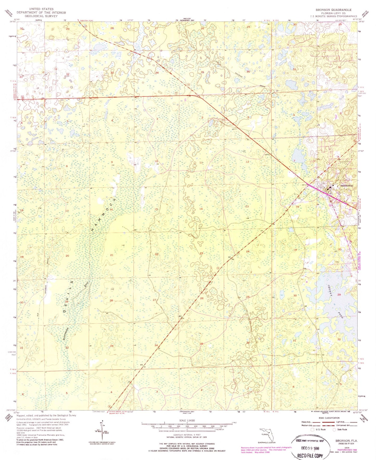
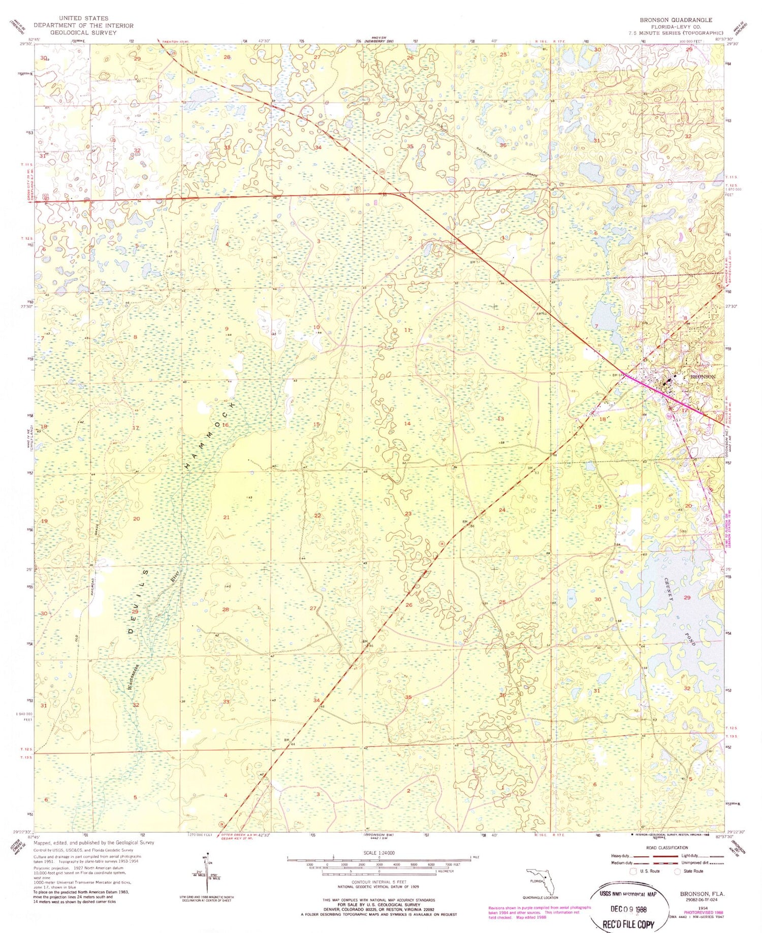
Classic USGS Bronson Florida 7.5'x7.5' Topo Map
Couldn't load pickup availability
Historical USGS topographic quad map of Bronson in the state of Florida. Map scale may vary for some years, but is generally around 1:24,000. Print size is approximately 24" x 27"
This quadrangle is in the following counties: Levy.
The map contains contour lines, roads, rivers, towns, and lakes. Printed on high-quality waterproof paper with UV fade-resistant inks, and shipped rolled.
Contains the following named places: Apostolic Faith Temple Church, Blue Springs, Bronson, Bronson Cemetery, Bronson Community Church, Bronson Elementary School, Bronson Fire and Rescue, Bronson Middle - High School, Bronson Post Office, Bronson Recreation Park, Chunky Pond, Church of Christ at Bronson, Devils Hammock, Elohim Tabernacle of Praise Ministries, First Baptist Church, Greater Prayer Temple Church of God in Christ, H A White Gymnasium, Lennon, Levy County Courthouse, Levy County Detention Bureau Jail, Levy County Emergency Medical Services, Levy County Road Department, Levy County Sheriff's Office, Levy County Sheriff's Office - Civil, Levy Learning Academy, New Hope African Methodist Episcopal Church, New Sepulcher Church of God, School Board of Levy County, St. John Missionary Baptist Church, Town of Bronson, U S Department of Agriculture Service Center, United Methodist Church


