MyTopo
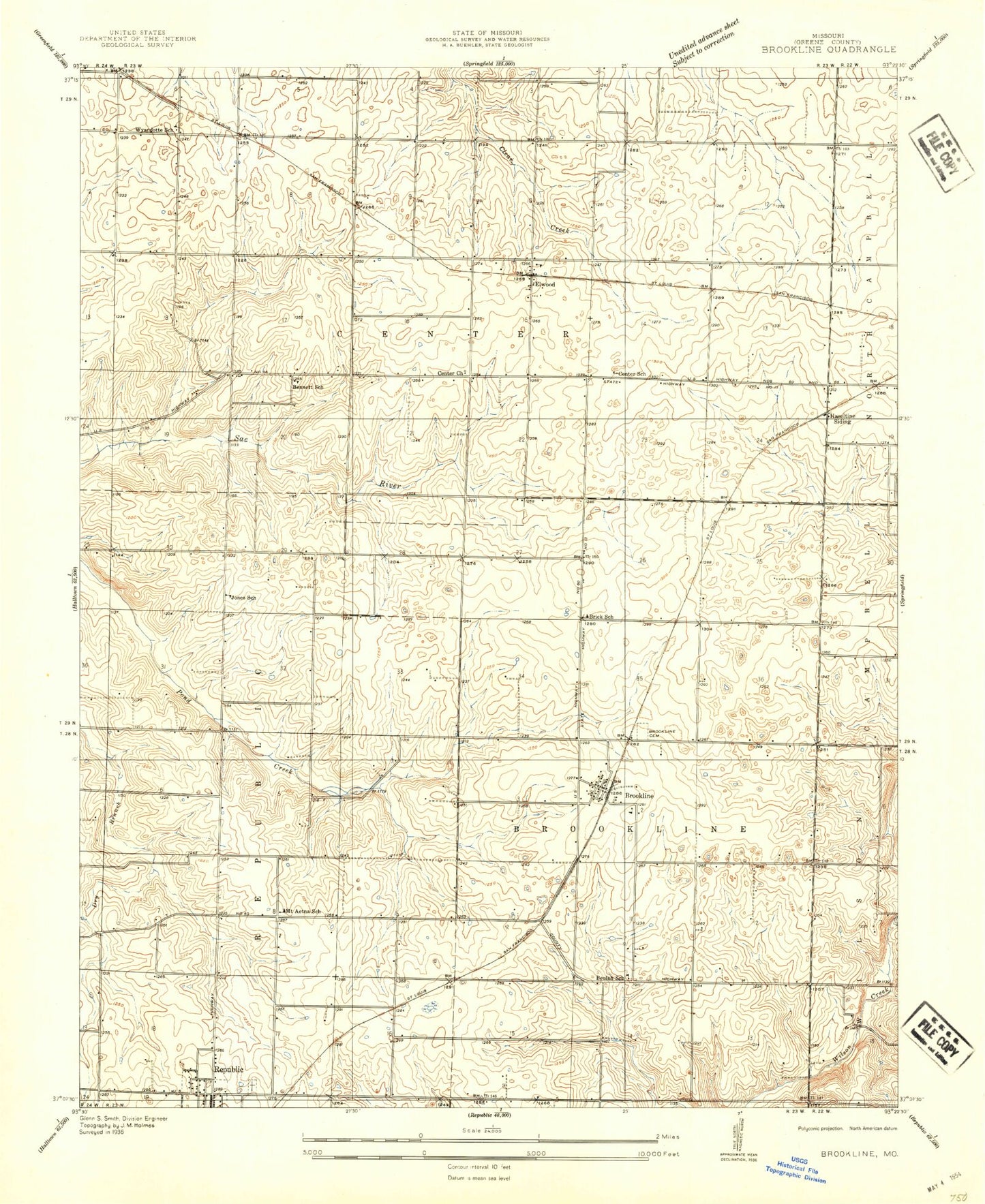
Classic USGS Brookline Missouri 7.5'x7.5' Topo Map
Couldn't load pickup availability
Historical USGS topographic quad map of Brookline in the state of Missouri. Typical map scale is 1:24,000, but may vary for certain years, if available. Print size: 24" x 27"
This quadrangle is in the following counties: Greene.
The map contains contour lines, roads, rivers, towns, and lakes. Printed on high-quality waterproof paper with UV fade-resistant inks, and shipped rolled.
Contains the following named places: Brewster Park, Brookline Cemetery, Dailey Spring, Evergreen Cemetery, Harrington Cemetery, Sanford Park, White Chapel Memorial Gardens, Wyandotte School (historical), Bennett School (historical), Jones School (historical), Mount Aetna School (historical), Center School (historical), Brick School (historical), Pleasant View Church (historical), Beulah School (historical), Brookline School (historical), Brookline, Elwood, Haseltine, Rountree Branch, Yeakley (historical), Springfield-Branson National Airport, KSWM-AM (Republic), Township of Brookline, Township of Center Number 1, Township of West Republic, Township of Republic North, Republic Fire Department Station 2 Brookline, Brookline Fire Protection District Station 2, Willard Fire Protection District Station 3, Brookline Fire Protection District Station 1, Brookline Post Office


