MyTopo
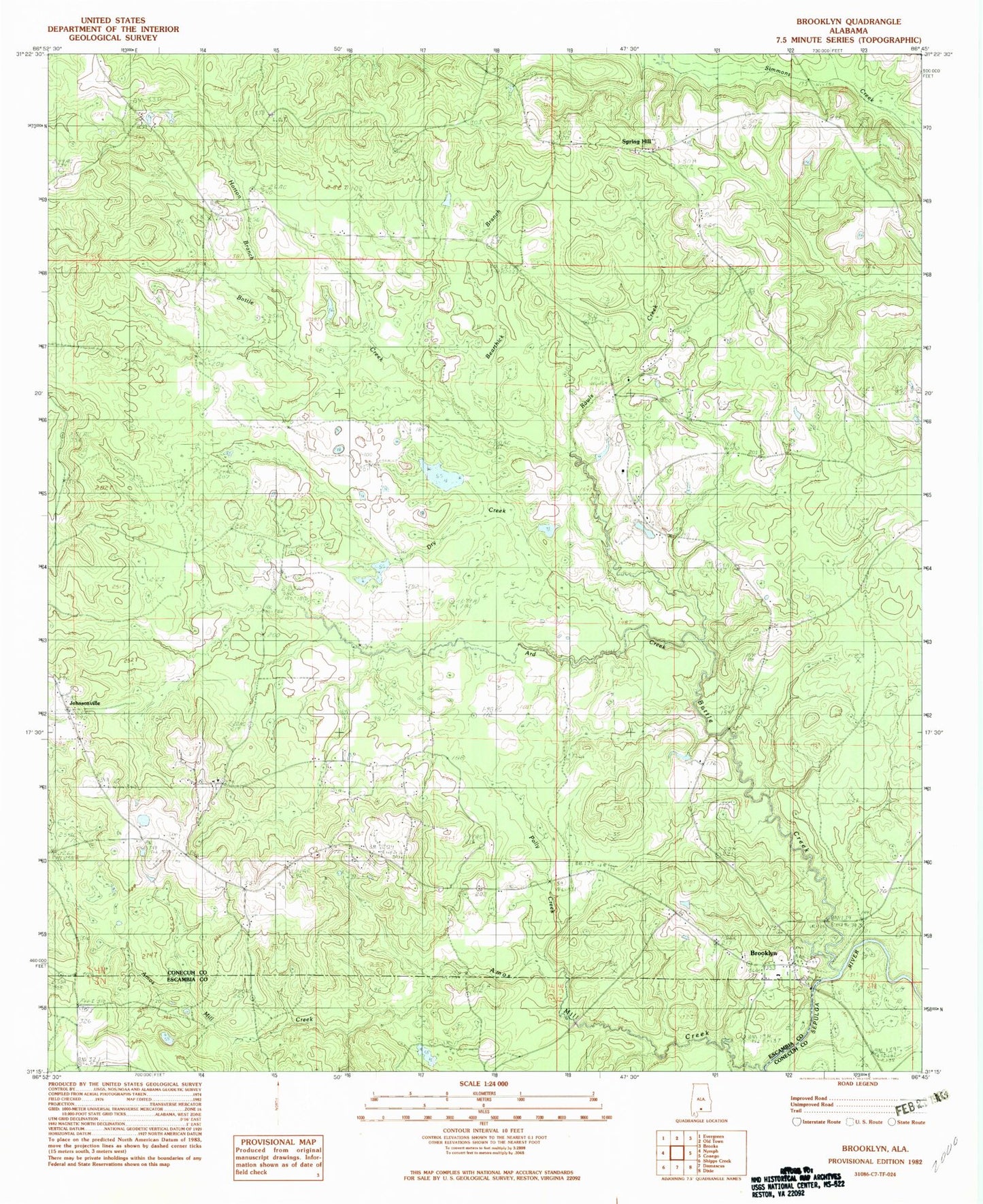
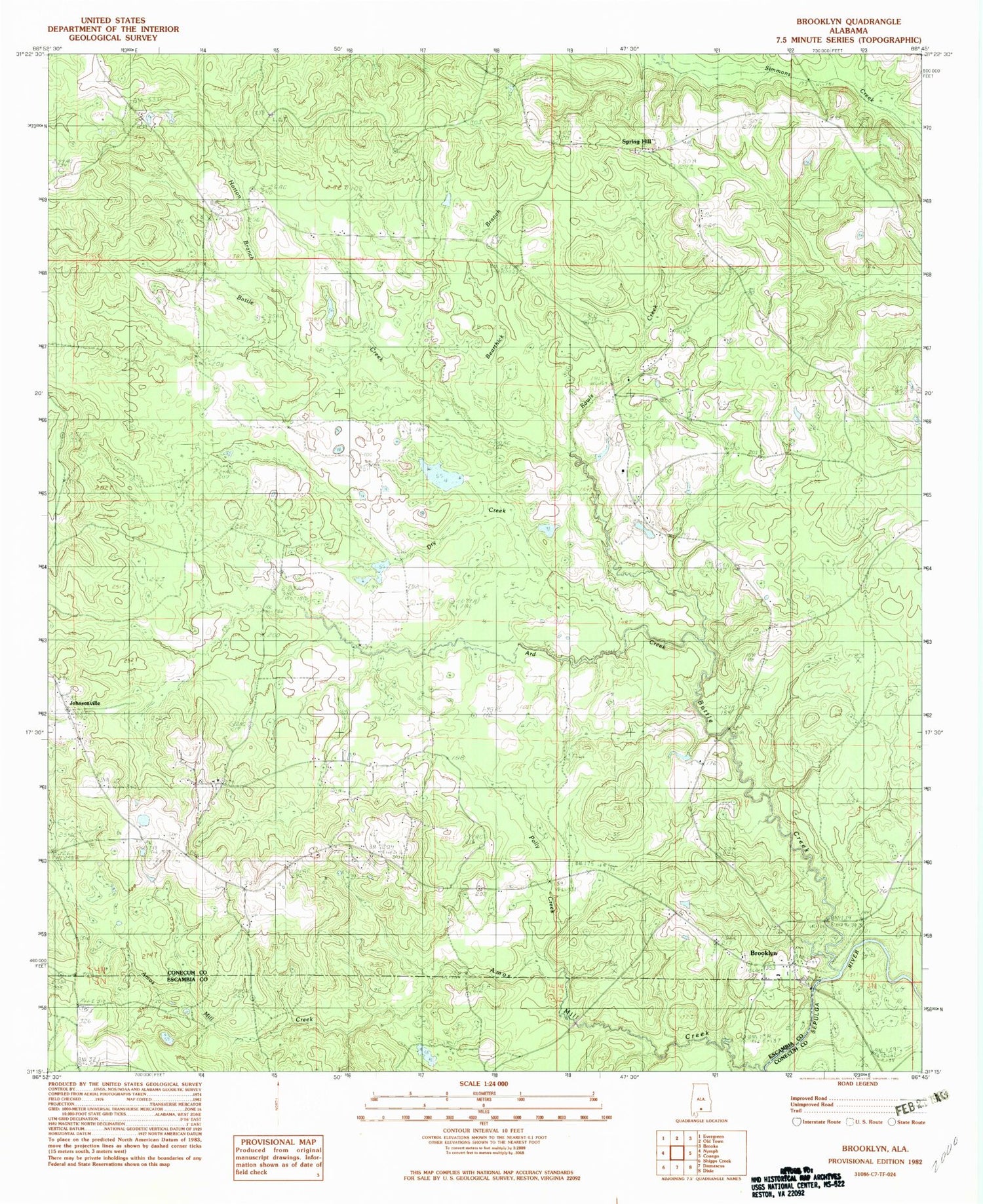
Classic USGS Brooklyn Alabama 7.5'x7.5' Topo Map
Couldn't load pickup availability
Historical USGS topographic quad map of Brooklyn in the state of Alabama. Map scale may vary for some years, but is generally around 1:24,000. Print size is approximately 24" x 27"
This quadrangle is in the following counties: Conecuh, Escambia.
The map contains contour lines, roads, rivers, towns, and lakes. Printed on high-quality waterproof paper with UV fade-resistant inks, and shipped rolled.
Contains the following named places: Amos Mill Creek, Ard Creek, Bearthick Branch, Bottle Creek, Brooklyn, Brooklyn Academy, Brooklyn Church, Brooklyn Volunteer Fire Department, Coon Ridge Fire Tower, Dry Creek, Holy Temple Church, Horton Branch, Horton Cemetery, Johnsonville, Johnsonville Volunteer Fire Department, Johnston Cemetery, New Bethel Church, Pleasant Grove Church, Pleasant Hill Church, Polly Creek, Rawls Creek, Saint Palestine Church, Sandy Grove Church, Sandy Grove School, Shady Grove Church, Spring Hill, Spring Hill Church, Spring Hill School