
MyTopo
Classic USGS Brooklyn Georgia 7.5'x7.5' Topo Map
Couldn't load pickup availability
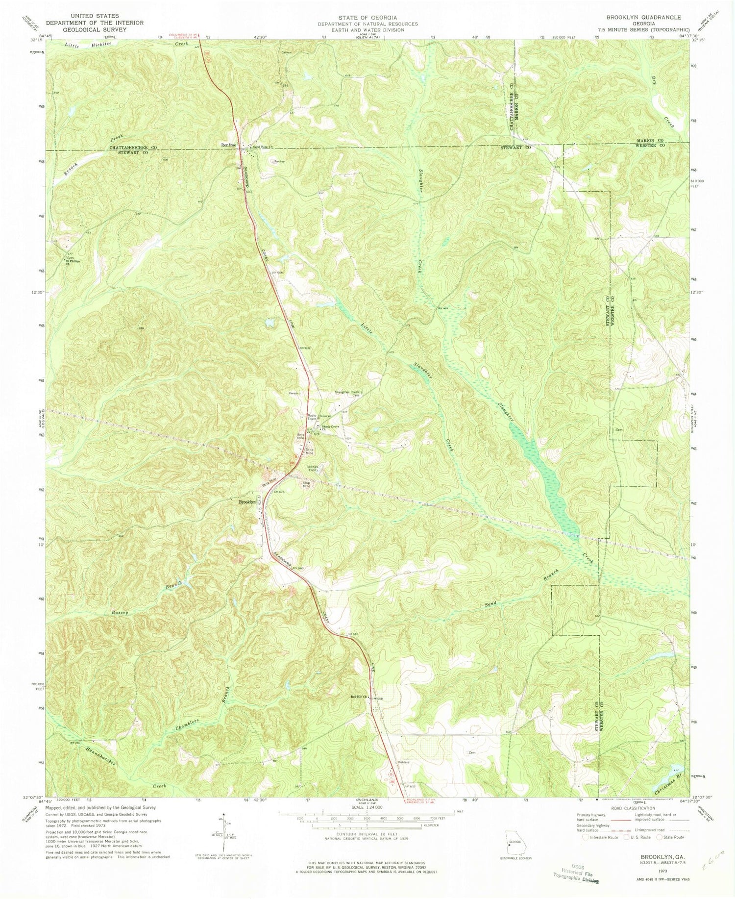
Historical USGS topographic quad map of Brooklyn in the state of Georgia. Map scale may vary for some years, but is generally around 1:24,000. Print size is approximately 24" x 27"
This quadrangle is in the following counties: Chattahoochee, Marion, Stewart, Webster.
The map contains contour lines, roads, rivers, towns, and lakes. Printed on high-quality waterproof paper with UV fade-resistant inks, and shipped rolled.
Contains the following named places: Brooklyn, Brooklyn Methodist Church, Chamblers Branch, Christmas Branch Dam, Christmas Branch Lake, Fellowship Church, Good Hope Church, Green Hill School, Little Slaughter Creek, Pickett - Shipley Cemetery, Pine Grove School, Red Hill Church, Renfroe, Saint Matthew Church, Saint Phillip's Cemetery, Saint Phillips Church, Sand Branch, Shady Grove, Shady Grove Church, Slaughter Creek, Slaughter Creek Cemetery, Slaughter Creek Primitive Baptist Church, Van Cleve Lake, Van Cleve Lake Dam


