
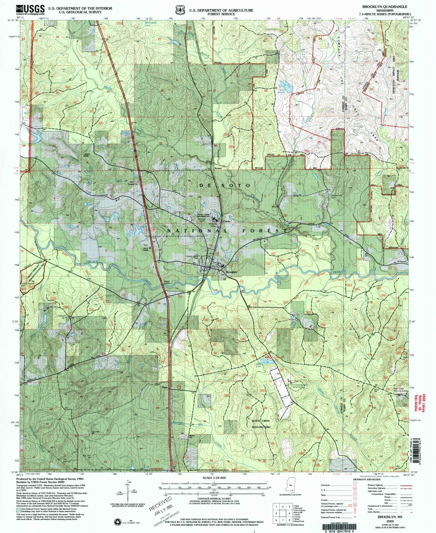
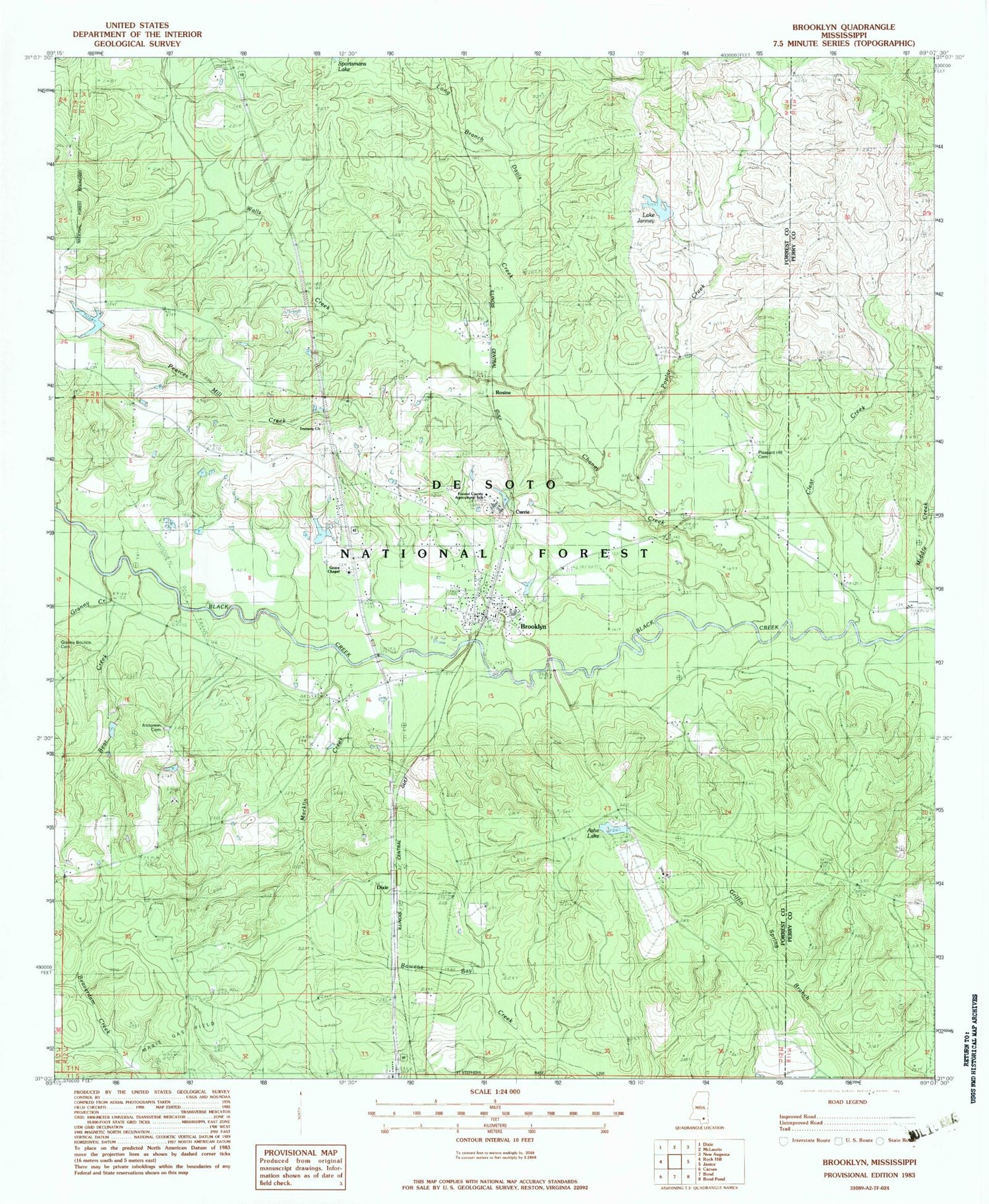
MyTopo
Classic USGS Brooklyn Mississippi 7.5'x7.5' Topo Map
Couldn't load pickup availability
Historical USGS topographic quad map of Brooklyn in the state of Mississippi. Typical map scale is 1:24,000, but may vary for certain years, if available. Print size: 24" x 27"
This quadrangle is in the following counties: Forrest, Perry.
The map contains contour lines, roads, rivers, towns, and lakes. Printed on high-quality waterproof paper with UV fade-resistant inks, and shipped rolled.
Contains the following named places: Granny Bounds Cemetery, Anderson Cemetery, Ashe Lake, Bear Creek, Brooklyn, Chaney Creek, Clear Creek, Davis Creek, Dixie, Granny Creek, Long Branch, Macklin Creek, Pearces Mill Creek, Poplar Creek, United State Forest Service Ashe Nursery, Walls Creek, Whites School, Ashe Lake Dam, Howell Lake Dam, Clear Creek Church, Currie, First Baptist Church of Brooklyn, Grace Chapel Baptist Church, Griffins Precinct (historical), Janney Lake, Pleasant Hill Cemetery, Rosine, Trueway Church, Ashe Lake Picnic Area, Big Creek, Chancellor (historical), Holmes Spur (historical), South Forrest Attendance Center, Ashe Lake Recreation Area, Forrest County Agricultural High School, Brooklyn Cemetery, Brooklyn Volunteer Fire Department, Brooklyn Post Office


