MyTopo
Classic USGS Brooklyn Washington 7.5'x7.5' Topo Map
Couldn't load pickup availability
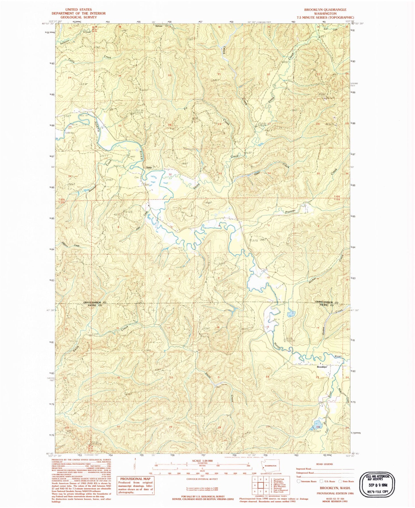
Historical USGS topographic quad map of Brooklyn in the state of Washington. Map scale may vary for some years, but is generally around 1:24,000. Print size is approximately 24" x 27"
This quadrangle is in the following counties: Grays Harbor, Pacific.
The map contains contour lines, roads, rivers, towns, and lakes. Printed on high-quality waterproof paper with UV fade-resistant inks, and shipped rolled.
Contains the following named places: Alder Creek, Archer Creek, Banas Field, Beaver Creek, Brooklyn, Deer Creek, East Fork Vesta Creek, Fall River, Fir Creek, Godes Creek, Grays Harbor Fire District 15 North River Station 2, Leach Creek, Moss Creek, Pioneer Creek, Vesta, Vesta Creek, West Fork Vesta Creek, ZIP Code: 98537