MyTopo
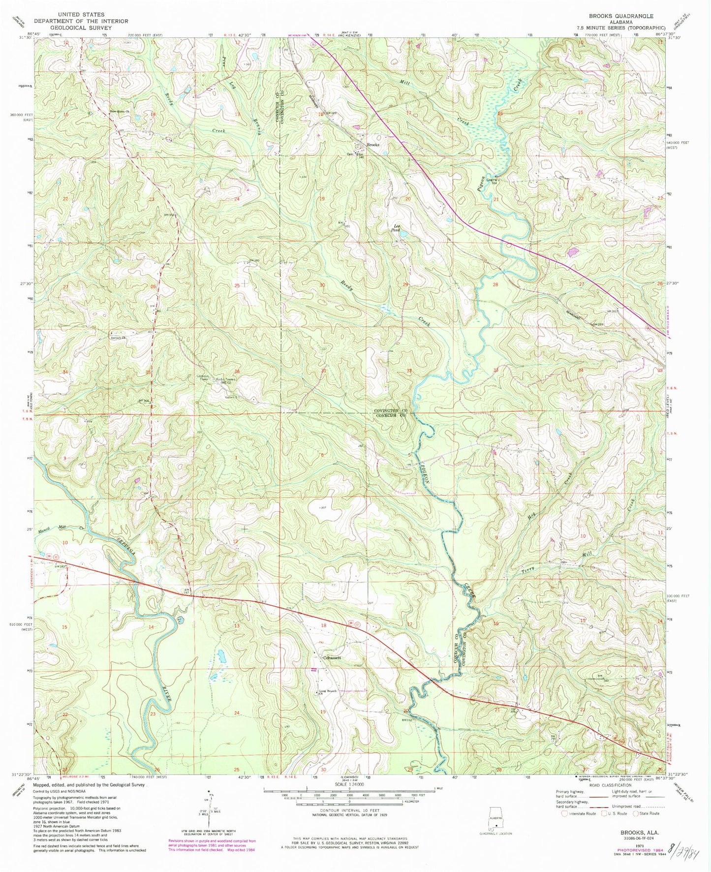
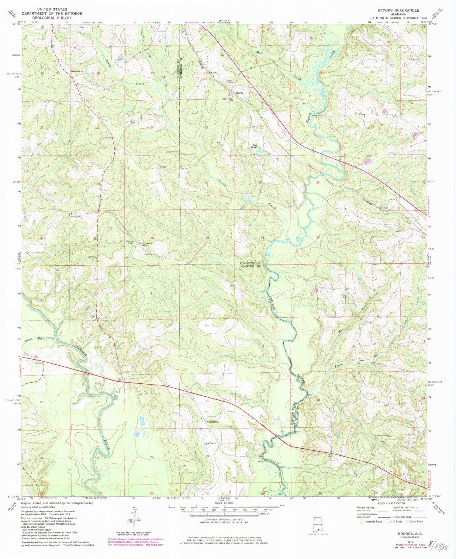
Classic USGS Brooks Alabama 7.5'x7.5' Topo Map
Couldn't load pickup availability
Historical USGS topographic quad map of Brooks in the state of Alabama. Map scale may vary for some years, but is generally around 1:24,000. Print size is approximately 24" x 27"
This quadrangle is in the following counties: Conecuh, Covington.
The map contains contour lines, roads, rivers, towns, and lakes. Printed on high-quality waterproof paper with UV fade-resistant inks, and shipped rolled.
Contains the following named places: Antioch Church, Beat Volunteer Fire Department 8, Bold Sluice Shoal, Brooks, Brooks Cemetery, Brooks Church, Brooks Lookout Tower, Cohassett, Cohassett Church, Fergerson Lake Dam, Hog Creek, Lee Pond, Long Branch Cemetery, Long Branch Church, Mancil Mill Creek, Mancill Cemetery, Mill Creek, Motts Bridge, Nehoma Church, New Home Church, Pine Log Branch, Reedy Creek, Shreve Division, Terry Mill Creek, Terry School, ZIP Code: 36474