MyTopo
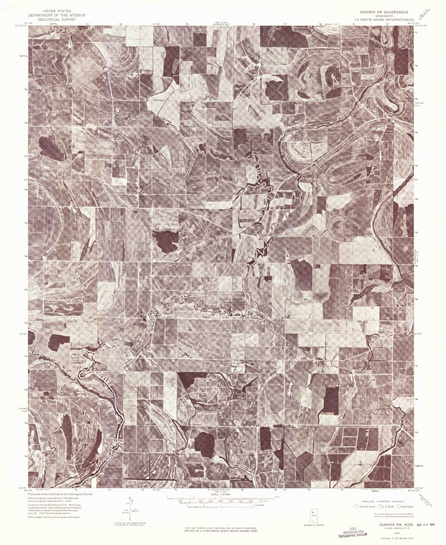
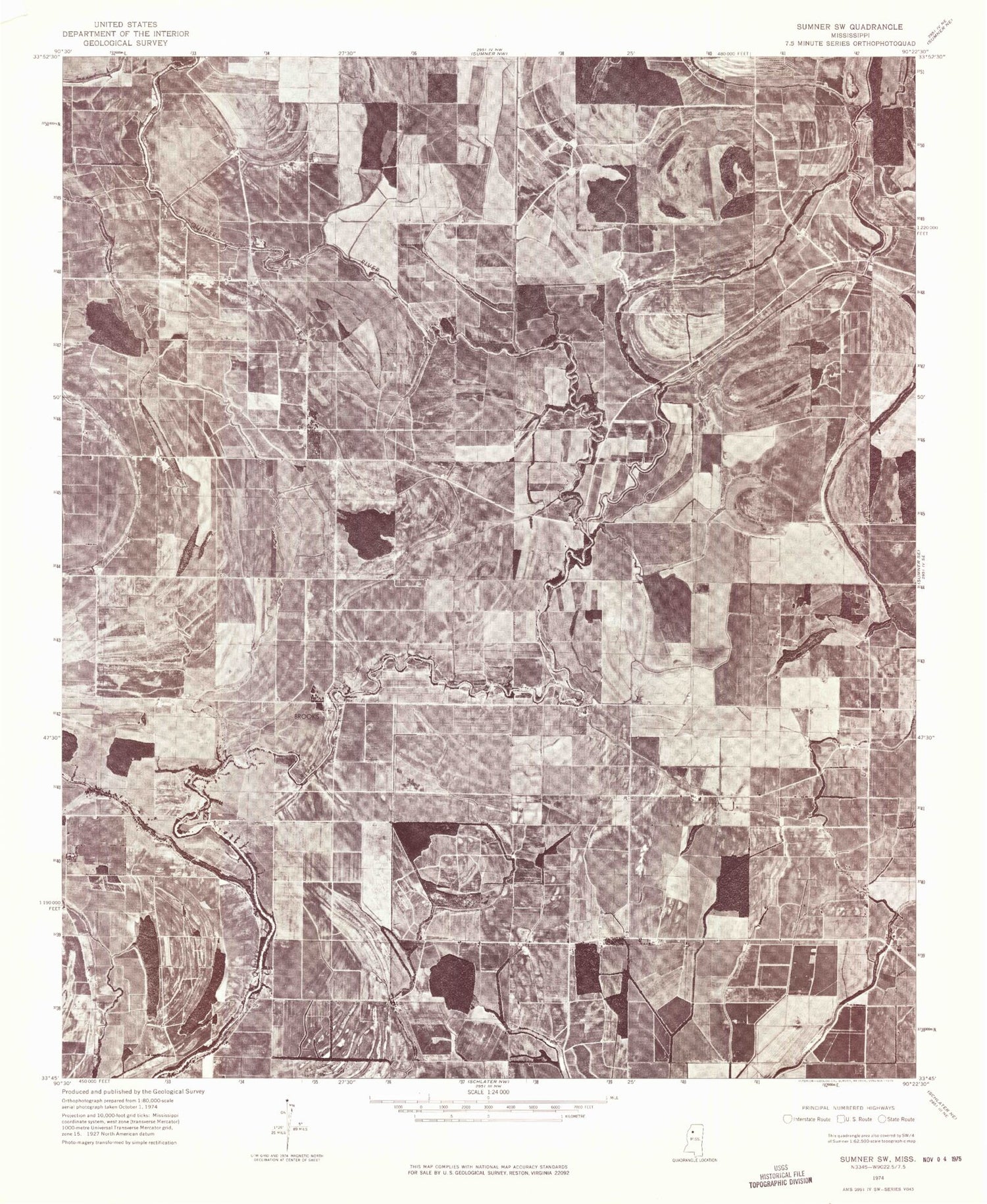
Classic USGS Brooks Mississippi 7.5'x7.5' Topo Map
Couldn't load pickup availability
Historical USGS topographic quad map of Brooks in the state of Mississippi. Map scale may vary for some years, but is generally around 1:24,000. Print size is approximately 24" x 27"
This quadrangle is in the following counties: Leflore, Sunflower, Tallahatchie.
The map contains contour lines, roads, rivers, towns, and lakes. Printed on high-quality waterproof paper with UV fade-resistant inks, and shipped rolled.
Contains the following named places: Brookland School, Brooks, Brooks Chapel, Brooks School, Cane Lake, Church of God, Clover Hill Church, East Mount Olive Church, Green Grove Church, Hoard Lake, Holmes Chapel, Horseshoe Brake, Johnson Chapel, Merry Grove Church, Morning Star Church, Mount Olive Cemetery, Newlight Church, Parks Bayou, Parks Church, Powell Bayou, Saint Marys Cemetery, Saint Marys Church, Scott Cemetery, Wade, Wade School, Wild Bill Bayou