MyTopo
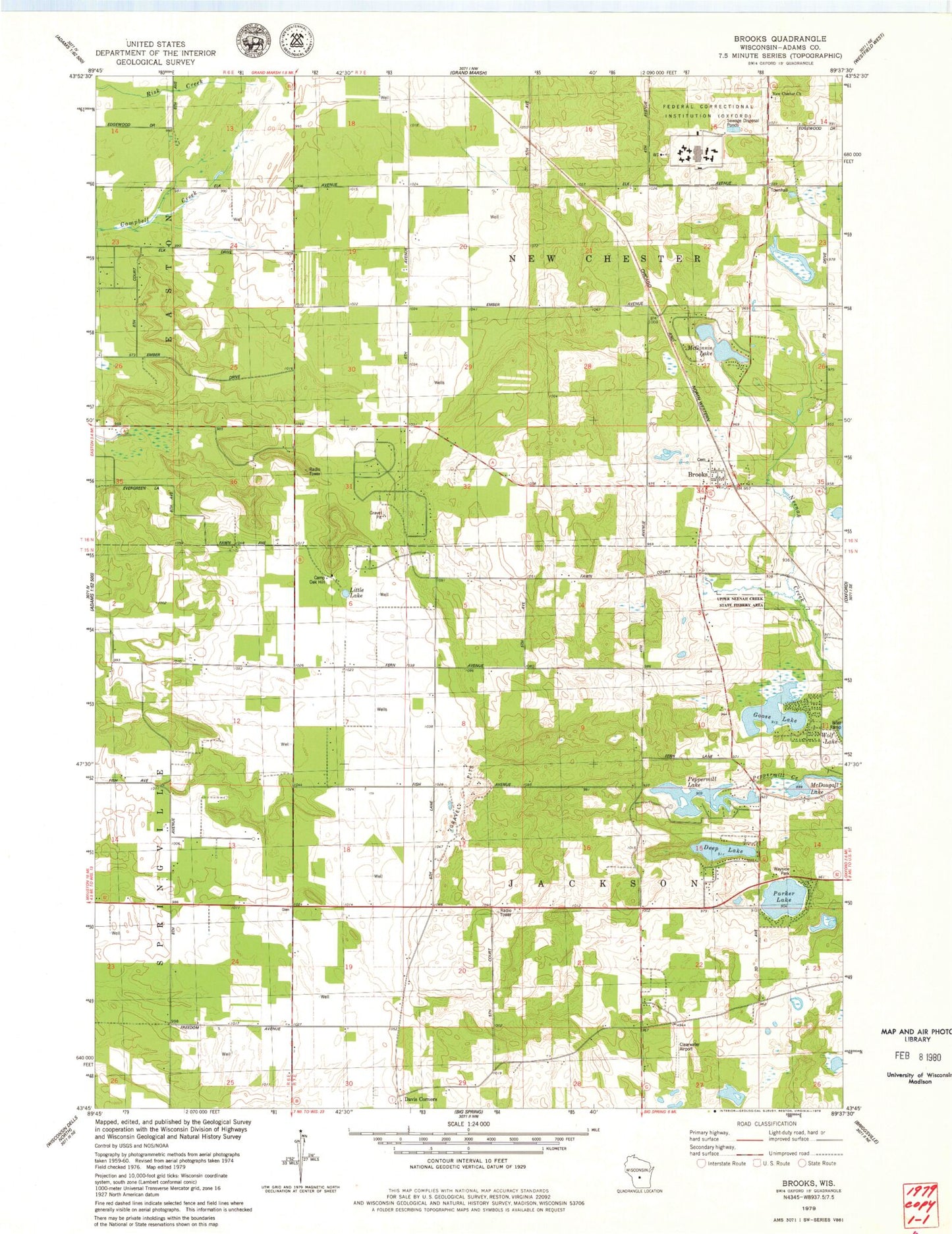
Classic USGS Brooks Wisconsin 7.5'x7.5' Topo Map
Couldn't load pickup availability
Historical USGS topographic quad map of Brooks in the state of Wisconsin. Map scale may vary for some years, but is generally around 1:24,000. Print size is approximately 24" x 27"
This quadrangle is in the following counties: Adams.
The map contains contour lines, roads, rivers, towns, and lakes. Printed on high-quality waterproof paper with UV fade-resistant inks, and shipped rolled.
Contains the following named places: Adams County Waterfowl Production Area, Beaver Pond 1, Brooks, Brooks Bluff State Natural Area, Bulldog Ranch Airport, Camp Oak Hill, Clearwater Aero Estates Airport, Coddington Dam 2WP2383, Deep Lake, Federal Correctional Institution Oxford, Goose Lake, Little Lake, McDougall Lake, McGinnis Lake, McGinnis Lake 2WP2255 Dam, New Chester, New Chester Church, Parker Lake, Peppermill Lake, Town of Jackson, Town of New Chester, Upper Neenah Creek State Fishery Area, ZIP Code: 53936