MyTopo
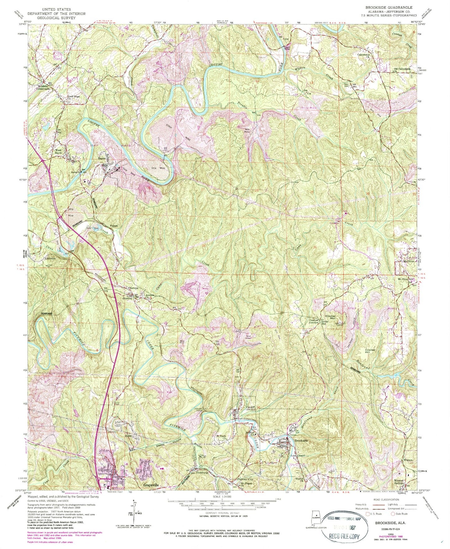
Classic USGS Brookside Alabama 7.5'x7.5' Topo Map
Couldn't load pickup availability
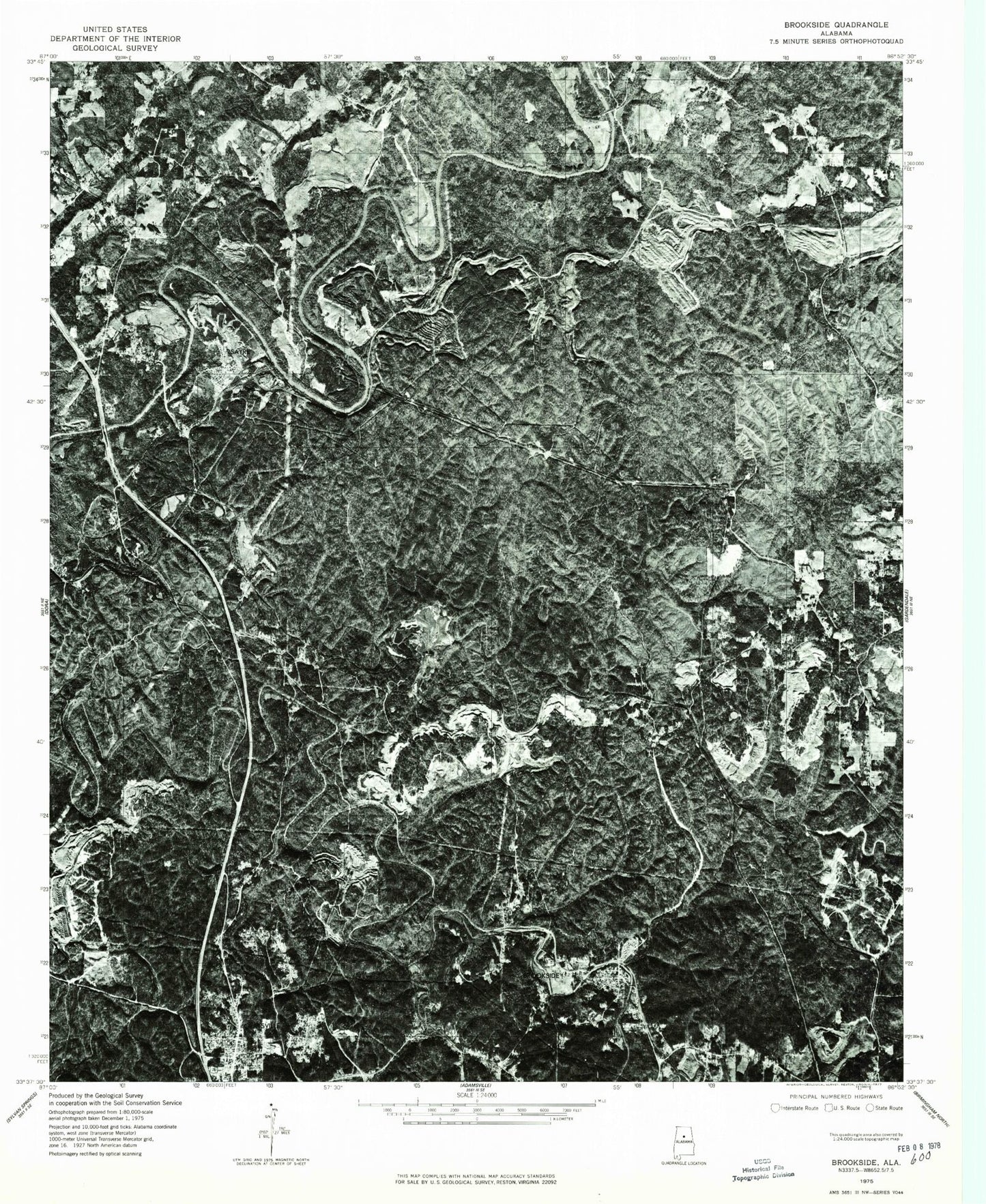
Historical USGS topographic quad map of Brookside in the state of Alabama. Typical map scale is 1:24,000, but may vary for certain years, if available. Print size: 24" x 27"
This quadrangle is in the following counties: Jefferson.
The map contains contour lines, roads, rivers, towns, and lakes. Printed on high-quality waterproof paper with UV fade-resistant inks, and shipped rolled.
Contains the following named places: Alden, Blossburg, Brookside, Calcedonia Baptist Church, Campbell Creek, Cardiff, Chetopa, Crocker Hill, Crocker Mountain, Divide Station, Good Hope Church, Hewitt Bridge, Jefferson Tunnel, Lees Chapel, Linn Cemetery, Littleton, MacDonald Hollow, Mineral Springs, Mount Pisgah Church, Narl Cemetery, Newfound Creek, Pinkney City, Saint Pauls Church, Sayre, Sharon Church, Sleepy Hollow, Trouble Creek, West Sayre, Whites Creek, New Found Creek Lake Dam, Newfound Creek Lake, Chetopa Mine - Impoundment Number 2, Chetopa Mine - Impoundment Number 2, Sayre Impoundment Number 1, Sayre Impoundment Number 1 Dam, Sardis Church, Sardis Church, Sayre Church, Sayre Junior High School, Short Ferry (historical), Stumptown (historical), West Blossburg (historical), Alden Elementary School, Baileys Quarters (historical), Banner Mines, Bibb Cemetery, Brents Cross Roads, Brookside Elementary School, Brookside High School, Brookville School, Cardiff Cemetery, Cow Branch, Crocker Church, Durant Mines, Goode Mines, Graysville Junior High School, Island Ford, Kosmo Mines, Meadows Chapel Church, Nebo (historical), New Found Mines, Orono (historical), Pinkney City Elementary School, Rilma (historical), Pinkney Number 3 Mine, Cardiff Drift Mine, Brookside Mine, Brazil Mine, Blossburg Mine, Erskine Mine, Chetopa Mine, Sayre Mine, Coal Creek Mine, Flat Top Mine, Sayre Mine, Knob Mine, Orono Mine, Banner Shaft Mine, Banner New Mine, Crocker Drift Mine, Littleton Mine, Saint Michaels Cemetery, Saint Nicholas Russian Orthodox Church, John Bensko Park, Sayre United Methodist Church, Sayre Mine, Graysville First United Methodist Church, Cougar Hollow, Sleepy Hollow Branch, Antioch Baptist Church, Linn Crossing, Old Calcedonia Church, Prudes Creek, Robbins Crossroads, Linns Crossing Cemetery, Loller Ferry (historical), Crocker Junction, Jet, Vulcan, Watson, United States Reservation - Flat Top Experimental Forest, Mount Olive Elementary School, Brookside Division, Robbins Crossroads Division, Victor School (historical), City of Graysville, Town of Brookside, Town of Cardiff, Graysville Fire Department Station 1, Brookside Fire Rescue Department, Bagley Volunteer Fire and Rescue, Graysville Fire Department Station 2, Mount Olive Fire and Rescue District Station 2, Brookside Police Department, Graysville Police Department, Watson Post Office, Graysville Post Office