MyTopo
Classic USGS Brookston NW Indiana 7.5'x7.5' Topo Map
Regular price
$16.95
Regular price
Sale price
$16.95
Unit price
per
Couldn't load pickup availability
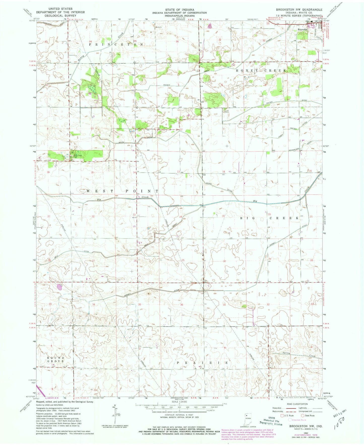
Historical USGS topographic quad map of Brookston NW in the state of Indiana. Map scale may vary for some years, but is generally around 1:24,000. Print size is approximately 24" x 27"
This quadrangle is in the following counties: White.
The map contains contour lines, roads, rivers, towns, and lakes. Printed on high-quality waterproof paper with UV fade-resistant inks, and shipped rolled.
Contains the following named places: Bell Ditch, Dieter Ditch, Dorsey Ditch, Fraser Ditch, Lane Cemetery, Lutheran Cemetery, Reynolds Elementary School, Rosen Treter Ditch, Schroeder Ditch, Scipio Ditch, West Point Cemetery, ZIP Code: 47929