MyTopo
Classic USGS Brookston SW Indiana 7.5'x7.5' Topo Map
Regular price
$16.95
Regular price
Sale price
$16.95
Unit price
per
Couldn't load pickup availability
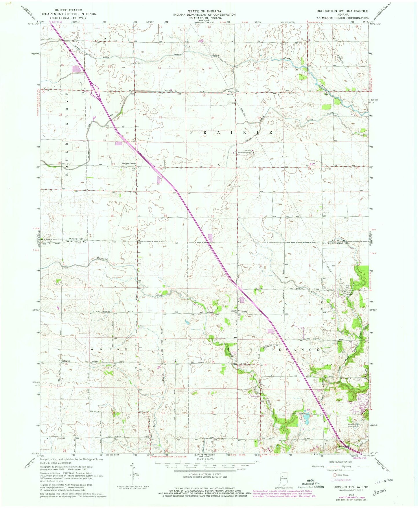
Historical USGS topographic quad map of Brookston SW in the state of Indiana. Map scale may vary for some years, but is generally around 1:24,000. Print size is approximately 24" x 27"
This quadrangle is in the following counties: Tippecanoe, White.
The map contains contour lines, roads, rivers, towns, and lakes. Printed on high-quality waterproof paper with UV fade-resistant inks, and shipped rolled.
Contains the following named places: Archibald Memorial Home, Badger Grove, Brown Ditch, Cairo, Chilton Ditch, Dahnke Airport, Edwood Glen Country Club, Liberty Chapel, Liberty Chapel Cemetery, Myers Ditch, Octagon, Rayman Ditch, Shultz /Private Airport, Township of Prairie, ZIP Code: 47923