MyTopo
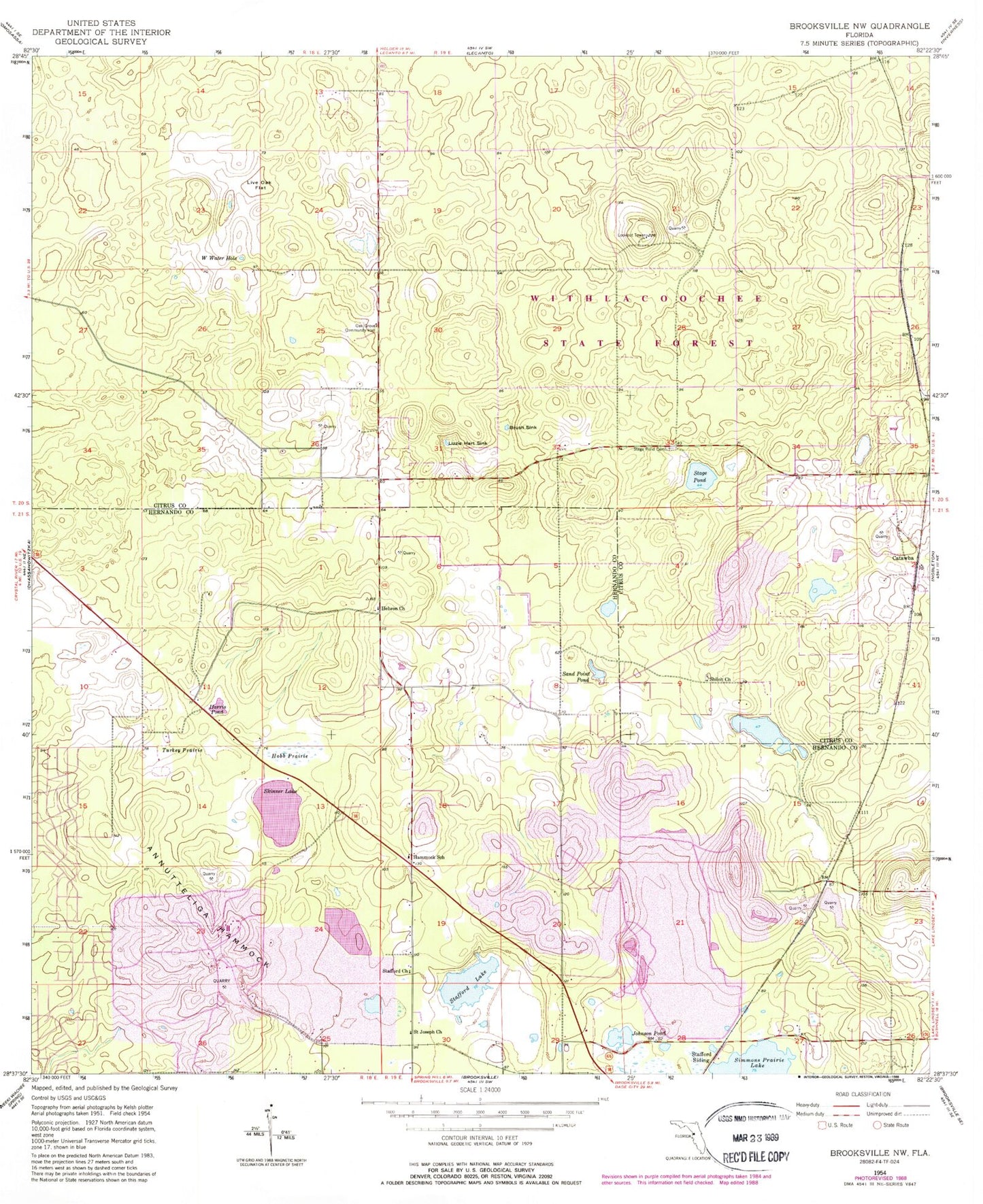
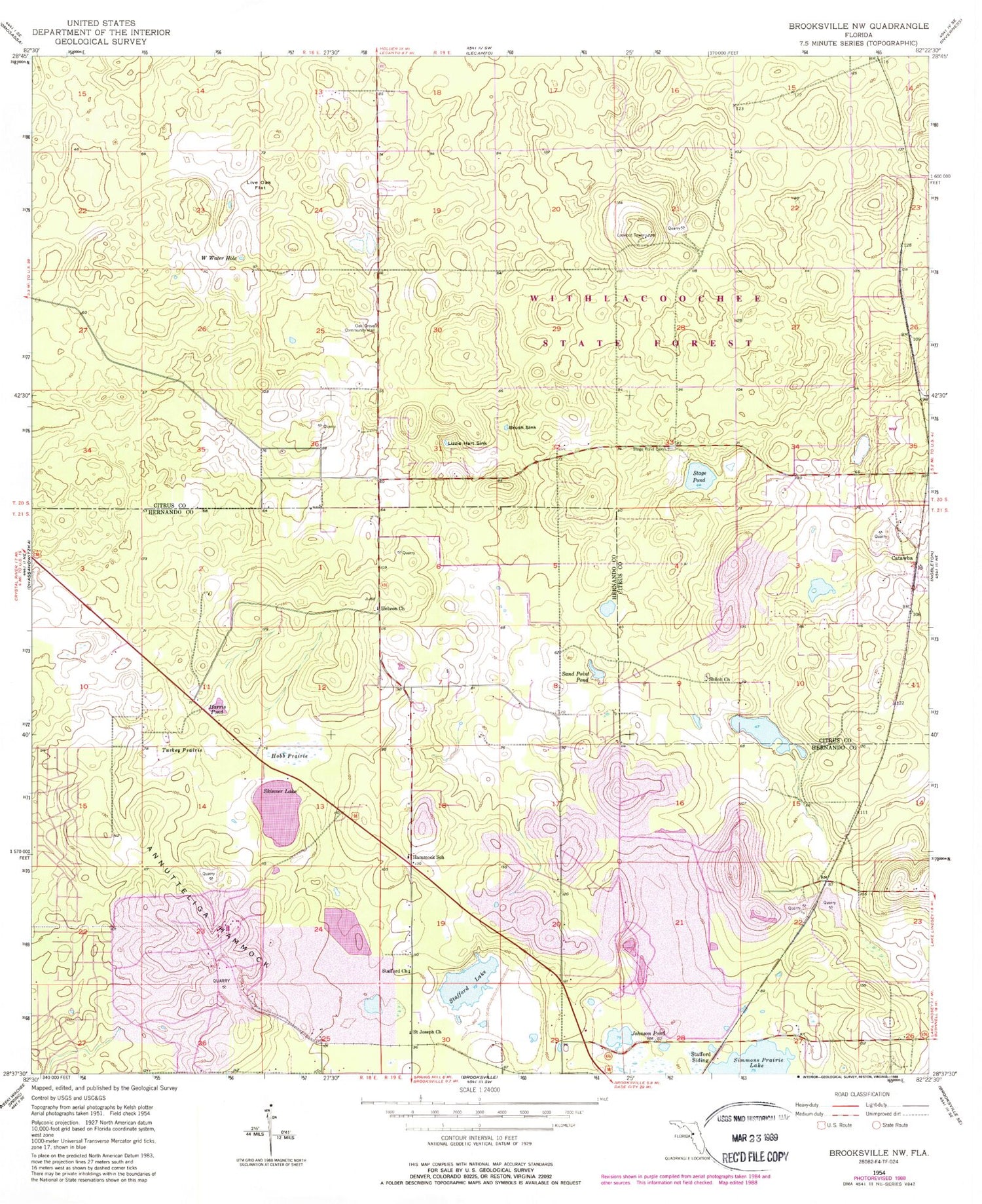
Classic USGS Brooksville NW Florida 7.5'x7.5' Topo Map
Couldn't load pickup availability
Historical USGS topographic quad map of Brooksville NW in the state of Florida. Typical map scale is 1:24,000, but may vary for certain years, if available. Print size: 24" x 27"
This quadrangle is in the following counties: Citrus, Hernando.
The map contains contour lines, roads, rivers, towns, and lakes. Printed on high-quality waterproof paper with UV fade-resistant inks, and shipped rolled.
Contains the following named places: Brush Sink, Hammock School (historical), Harris Pond, Hebron Baptist Church, Hobb Prairie, Johnson Pond, Live Oak Flat, Lizzie Hart Sink, Oak Grove Community Hall (historical), Saint Joseph Church (historical), Sand Point Pond, Shiloh Baptist Church, Simmons Prairie Lake, Skinner Lake, Stafford Church, Stafford Lake, Stafford Siding, Stage Pond, Stage Pond Cemetery, Turkey Prairie, W Water Hole, Annutteliga Hammock, Catawba, Sunset Plaza, Horse Lake, Shiloh Cemetery, Ringhaver Heliport, Tillis Hills Recreation Area, Hernando County Rock Canning Center & Library, Saint Stanislaus Catholic Church


