MyTopo
Classic USGS Brooksville SE Florida 7.5'x7.5' Topo Map
Couldn't load pickup availability
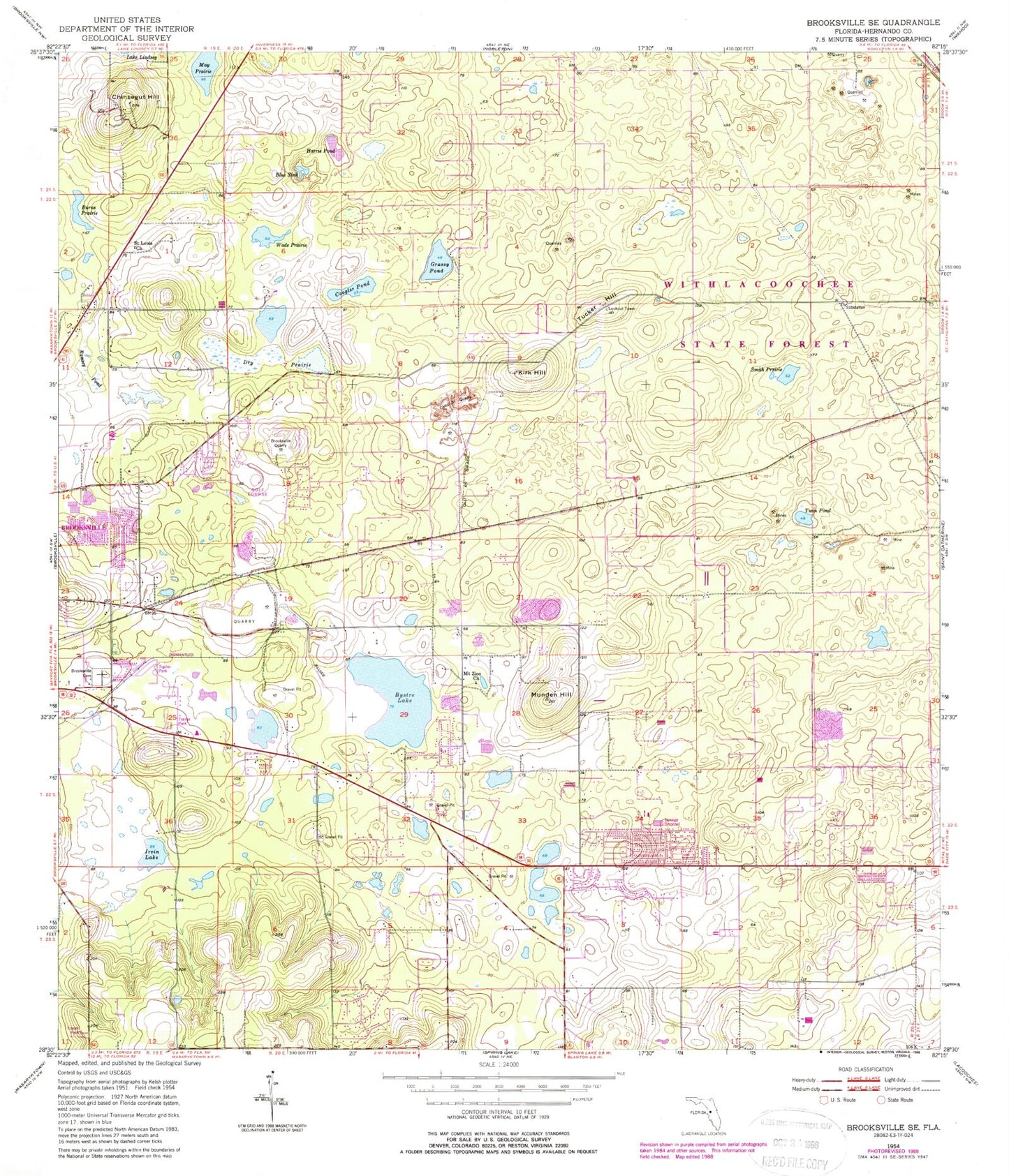
Historical USGS topographic quad map of Brooksville SE in the state of Florida. Typical map scale is 1:24,000, but may vary for certain years, if available. Print size: 24" x 27"
This quadrangle is in the following counties: Hernando.
The map contains contour lines, roads, rivers, towns, and lakes. Printed on high-quality waterproof paper with UV fade-resistant inks, and shipped rolled.
Contains the following named places: Blue Sink, Brooksville Cemetery, Brooksville Quarry, Bystre Lake, Camp Quarry, Chinsegut Hill, Chinsegut National Wildlife Refuge (historical), Coogler Pond, Dry Prairie, Grassy Pond, Harris Pond, Irvin Lake, Kirk Hill, May Prairie, Mount Zion AME Church, Munden Hill, Ramsey Pond, Saint Lewis Missionary Baptist Church, Smith Prairie, Tucker Hill, Twin Pond, Wade Prairie, Eastside Elementary School, Burns Prairie, Hill 'n Dale, Conrock, Tucker Hill Forestry Site, Croom Wildlife Management Area, Chinsegut Airport, Brooksville Division, New Apostolic Church, Hillside Community Baptist Church, New Hope Assembly of God, Hernando County Fire Rescue Station 7, Hernando Christian Academy, Long Memorial Cemetery, Community Bible Church, Brooksville Wesleyan Church, Hill 'n Dale Census Designated Place, Ranchaero Grand Vista Airport


