MyTopo
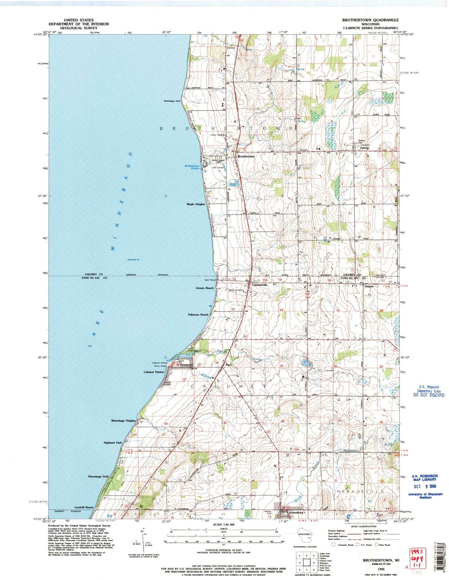
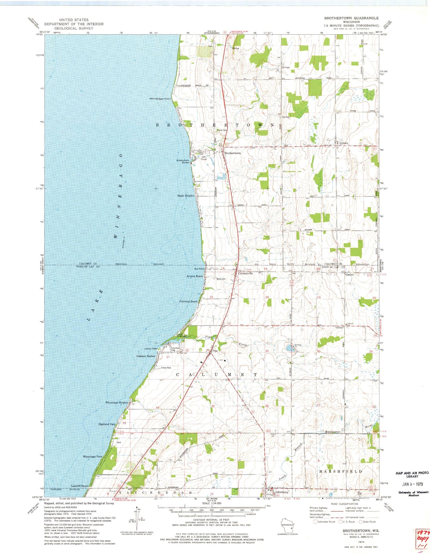
Classic USGS Brothertown Wisconsin 7.5'x7.5' Topo Map
Couldn't load pickup availability
Historical USGS topographic quad map of Brothertown in the state of Wisconsin. Map scale may vary for some years, but is generally around 1:24,000. Print size is approximately 24" x 27"
This quadrangle is in the following counties: Calumet, Fond du Lac.
The map contains contour lines, roads, rivers, towns, and lakes. Printed on high-quality waterproof paper with UV fade-resistant inks, and shipped rolled.
Contains the following named places: Artesia Beach, Bock Cemetery, Brothertown, Brothertown Census Designated Place, Brothertown Harbor, Calumet Harbor, Calumet School, Calumet Volunteer Fire Department, Calumetville, Camp Shaginappi, Columbia Park, Dick Family Cemetery, Garnet, Heritage Orchard, Highland Park, Holy Trinity Catholic Church, Holy Trinity Cemetery, Jericho, Johnsburg, Laudolff Beach, Maple Heights, Morrill Family Cemetery, Pipe, Pipe Creek, Pukwana Beach, Rothmann Cemetery, Saint John the Baptist Catholic Church, Saint Pauls Cemetery, Saint Pauls Church, Town of Brothertown, Town of Calumet, Union Cemetery, Winnebago Heights, Winnebago Park, Winnebago Point, ZIP Code: 53049