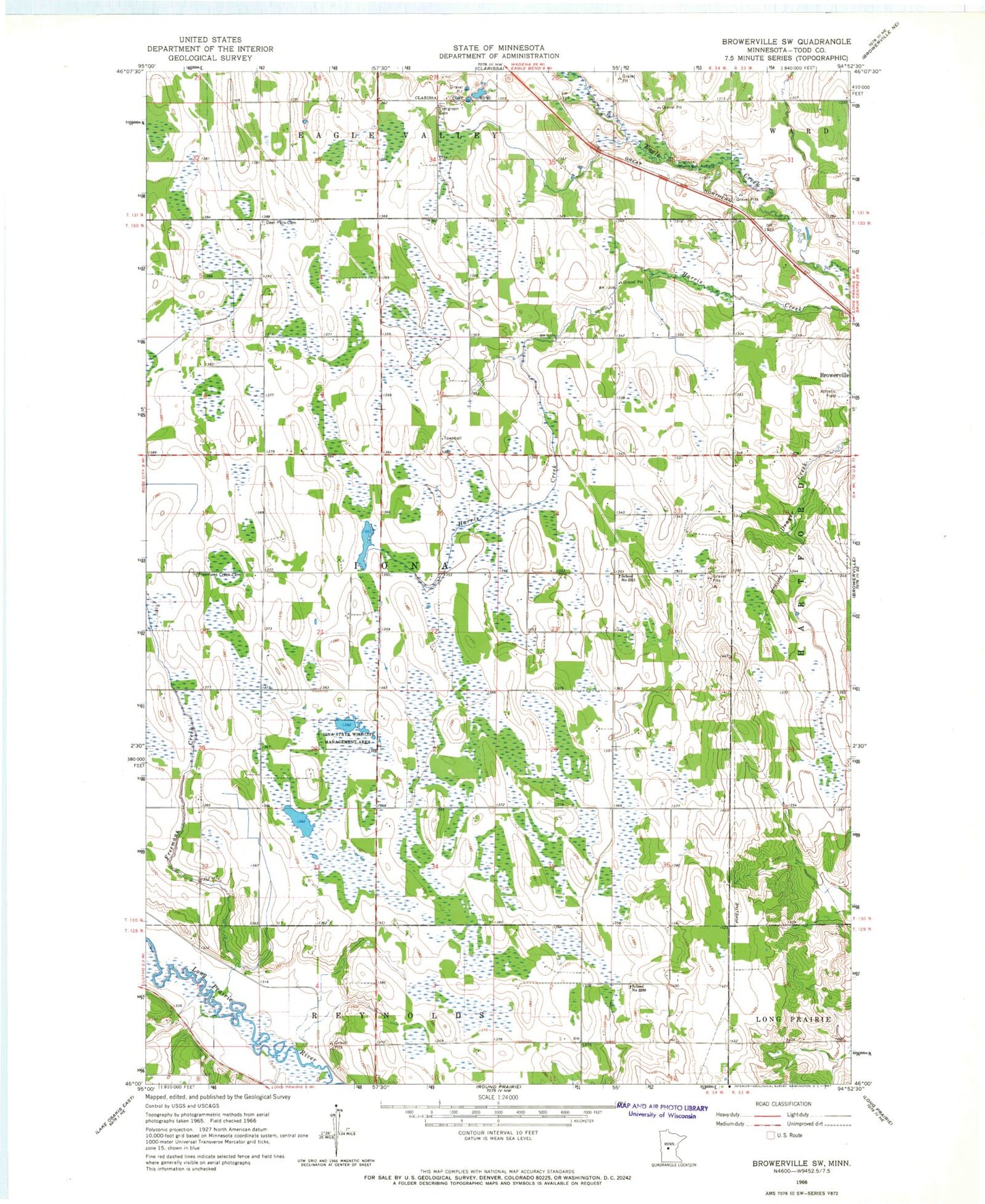
MyTopo
Classic USGS Browerville SW Minnesota 7.5'x7.5' Topo Map
Regular price
$16.95
Regular price
Sale price
$16.95
Unit price
per
Couldn't load pickup availability
Historical USGS topographic quad map of Browerville SW in the state of Minnesota. Map scale may vary for some years, but is generally around 1:24,000. Print size is approximately 24" x 27"
This quadrangle is in the following counties: Todd.
The map contains contour lines, roads, rivers, towns, and lakes. Printed on high-quality waterproof paper with UV fade-resistant inks, and shipped rolled.
Contains the following named places: Clarissa Municipal Airport, Deer Park Cemetery, Evergreen Cemetery, Freemans Creek, Freemans Creek Cemetery, Iona State Wildlife Management Area, School Number 2299, School Number 2321, Todd County, Township of Iona