MyTopo
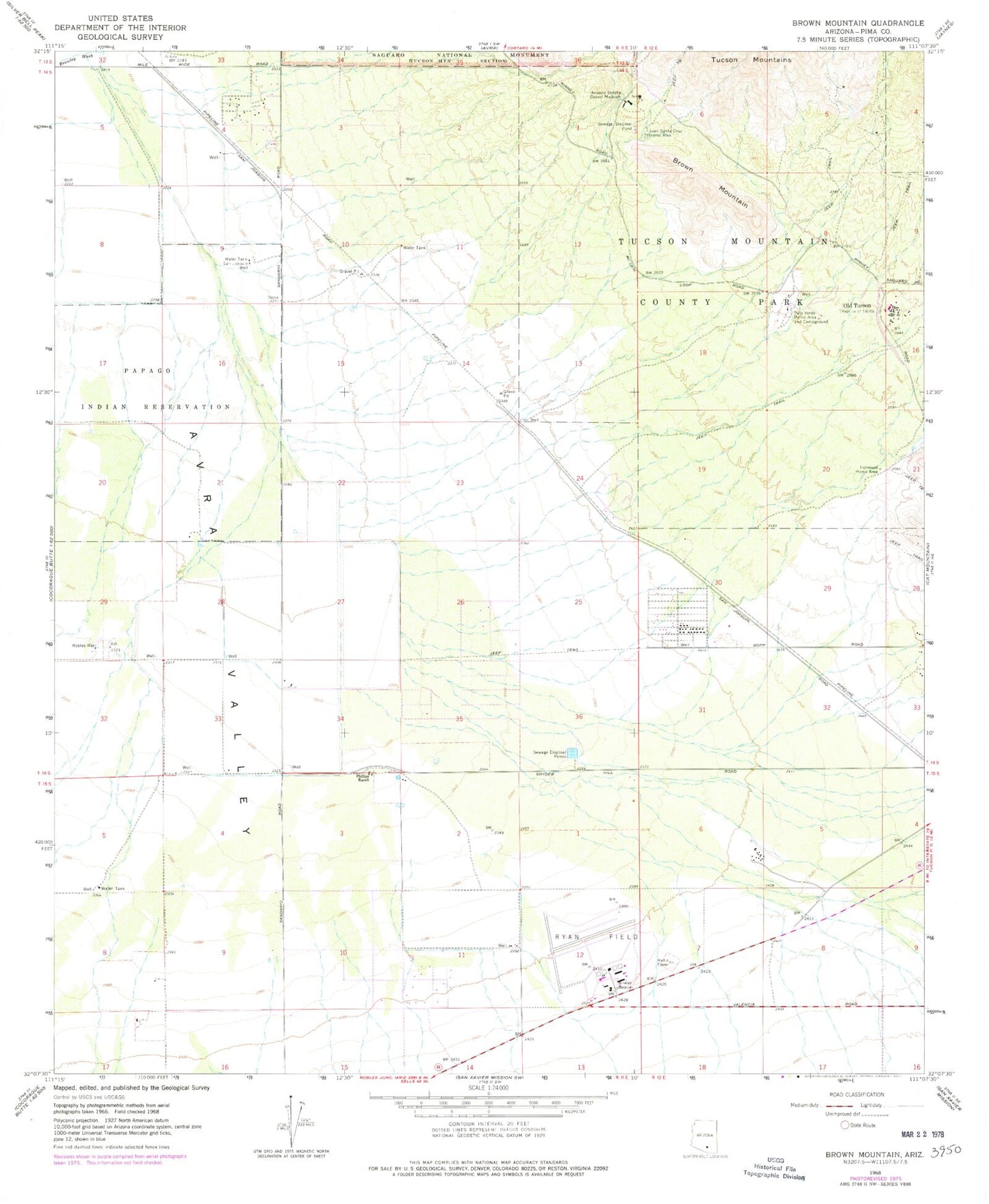
Classic USGS Brown Mountain Arizona 7.5'x7.5' Topo Map
Couldn't load pickup availability
Historical USGS topographic quad map of Brown Mountain in the state of Arizona. Map scale may vary for some years, but is generally around 1:24,000. Print size is approximately 24" x 27"
This quadrangle is in the following counties: Pima.
The map contains contour lines, roads, rivers, towns, and lakes. Printed on high-quality waterproof paper with UV fade-resistant inks, and shipped rolled.
Contains the following named places: Arizona-Sonora Desert Museum, Brown Mountain, Ironwood Picnic Area, Juan Santa Cruz Picnic Area, King Canyon, Laura Nobles Banks Elementary School, Mile Wide Road Bridge, Old Tucson, Palo Verde Picnic Area and Campground, Phillips Ranch, Pima County Wastewater Management Avra Valley Wastewater Treatment Facility, Robles Well, Ryan Field, San Joaquin Well, Three Points Fire District Station 302, Tucson Estates Census Designated Place, Tucson Mountain County Park