MyTopo
Classic USGS Brownbranch Missouri 7.5'x7.5' Topo Map
Couldn't load pickup availability
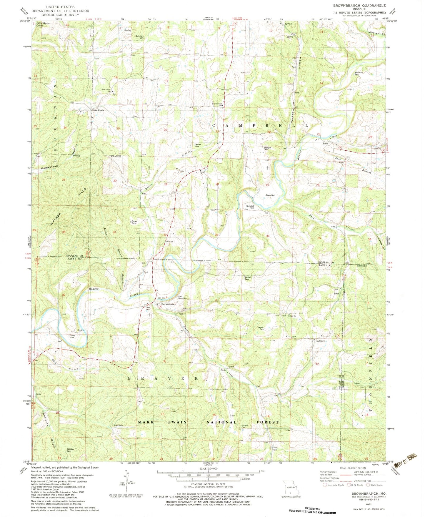
Historical USGS topographic quad map of Brownbranch in the state of Missouri. Typical map scale is 1:24,000, but may vary for certain years, if available. Print size: 24" x 27"
This quadrangle is in the following counties: Douglas, Ozark, Taney.
The map contains contour lines, roads, rivers, towns, and lakes. Printed on high-quality waterproof paper with UV fade-resistant inks, and shipped rolled.
Contains the following named places: Brownbranch School (historical), Nancy, Barger School (historical), Bear Branch, Bethel School (historical), Brown Branch, Brownbranch, Caney Creek, Cross Roads, Jack Branch, Kentucky Hollow School (historical), Kings Hollow, Little Brown Branch, Lone Star School (historical), McClurg, Oak Ridge School, Patterson School, Redoak School (historical), Rome, Union Grove Church, Waterhole Hollow, Peckerwood Hollow, Walker Hills, Eldridge Cemetery, Clark Cemetery, Sherrodd Cemetery, Dean Cemetery, Dann Cemetery, Guthrie Cemetery, Palmer Cemetery, Bethel Church, Bethel Cemetery, Summers Cemetery, Plainview R-8 School, Horner Cemetery, Sandy Church, Campbell Cemetery, Dixon Cemetery, Stamper Cemetery, Watterson Cemetery, Comer Cemetery, Township of Campbell


