MyTopo
Classic USGS Browns Crossing Georgia 7.5'x7.5' Topo Map
Couldn't load pickup availability
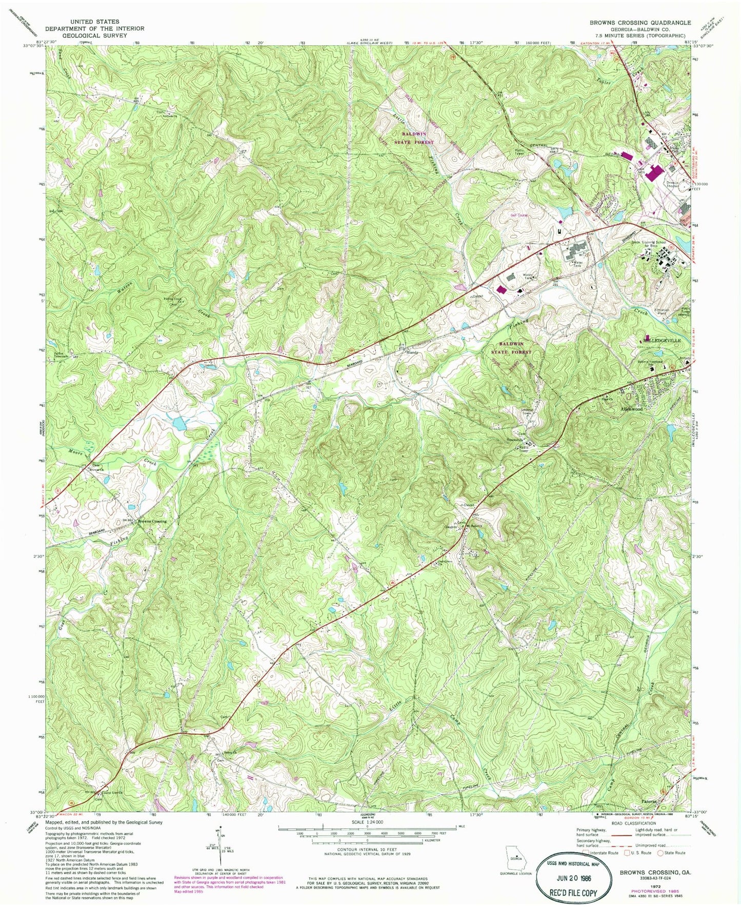
Historical USGS topographic quad map of Browns Crossing in the state of Georgia. Map scale may vary for some years, but is generally around 1:24,000. Print size is approximately 24" x 27"
This quadrangle is in the following counties: Baldwin.
The map contains contour lines, roads, rivers, towns, and lakes. Printed on high-quality waterproof paper with UV fade-resistant inks, and shipped rolled.
Contains the following named places: Allenwood, Antioch Church, Ashfield Lake, Ashfield Lake Dam, Baldwin County Fire and Rescue Department Station 8, Baldwin County Recreation Lake, Baldwin County Recreation Lake Dam, Baldwin County Sheriff's Office, Baldwin High School, Baldwin State Forest, Baldwin Vocational School, Blandy, Blandy Hills Elementary School, Browns Church, Browns Crossing, Camp Creek Church, Central Georgia Technical College - Milledgeville Campus, Coopers Division, County Line Church, Creekside Elementary School, David Hill Cemetery, Eagle Ridge Elementary School, Fishing Creek Cemetery, Fishing Creek School, Fountain Lake, Fountain Lake Dam, Georgia State Patrol Troop E Post 33, Georgia State Training School for Boys, Goss Creek, Hatcher Square Mall Shopping Center, Hope Church, Hopewell Church, Hopewell Methodist Cemetery, Leonard Smith Cemetery, Little Camp Creek, Little Fishing Creek, McClure Lake, Milledgeville Division, Moore Creek, Mount Hope Cemetery, Mount Hope Church, Oak Grove Church, Oak Hill Middle School, Pardue Tabernacle, Salem Baptist Cemetery, Salem Church, Tabernacle Church, Walter B Williams Junior Park, Watson Creek, WKZR-FM (Milledgeville), WMVG-AM (Milledgeville), Youth Development Center Lake