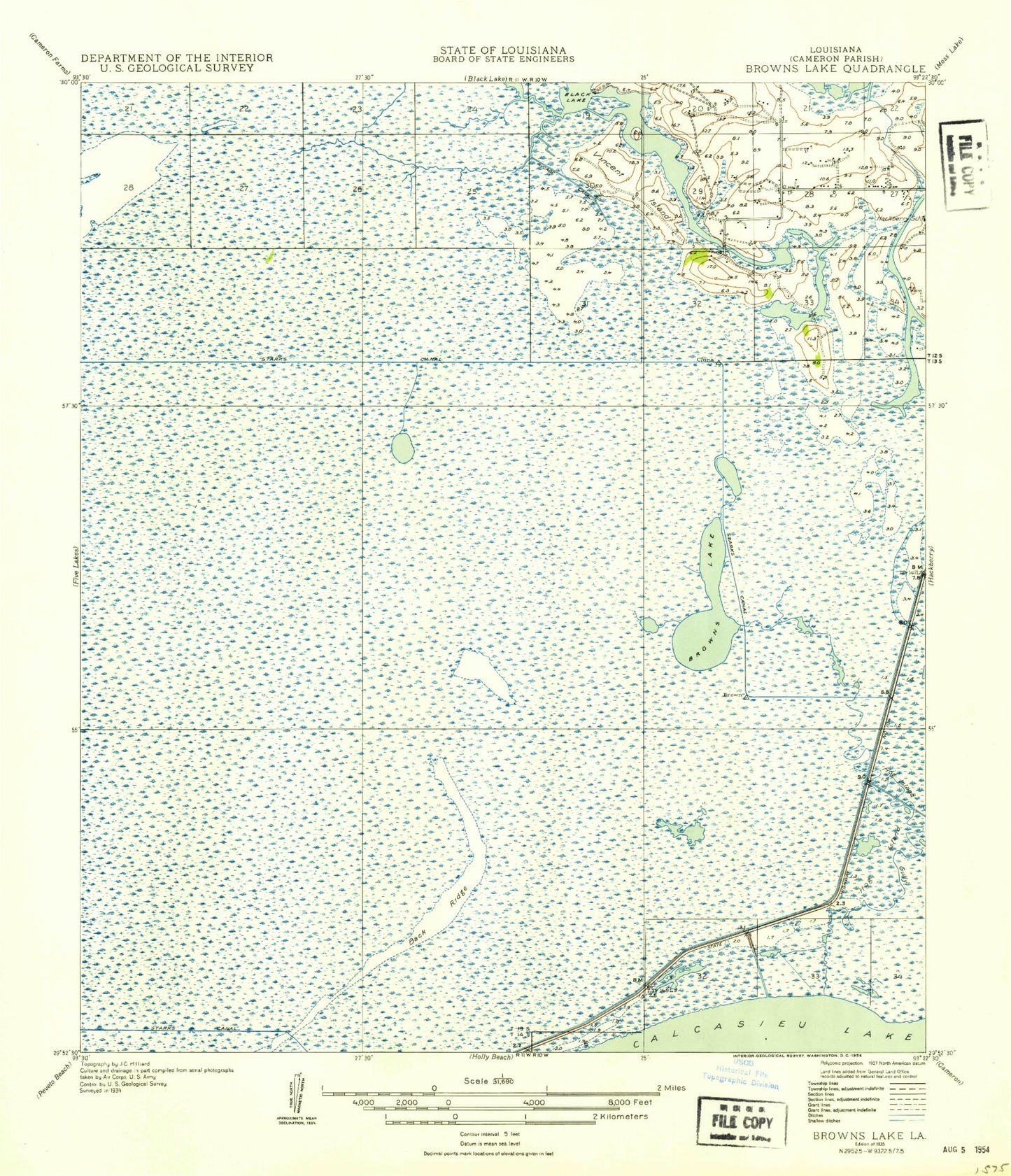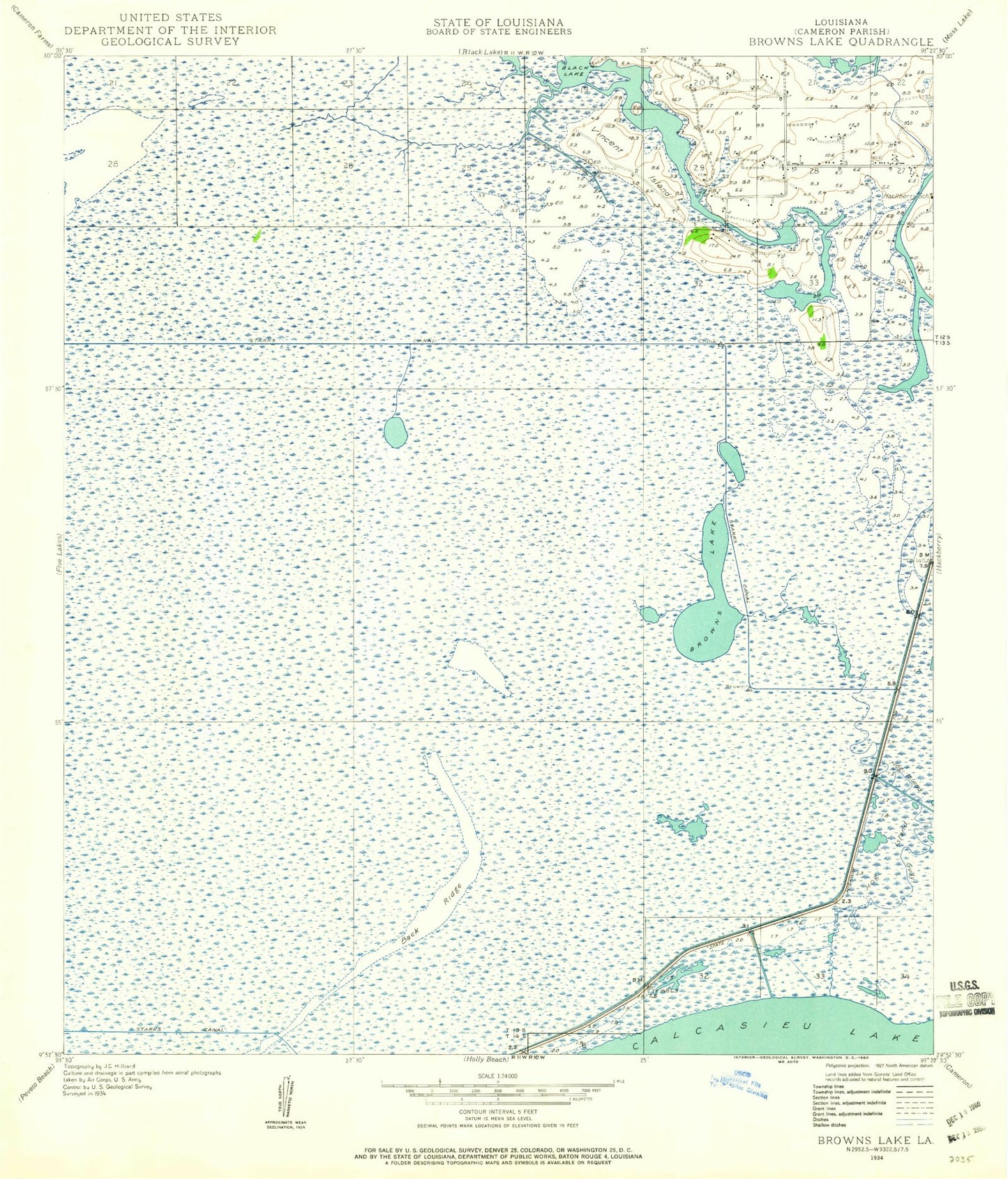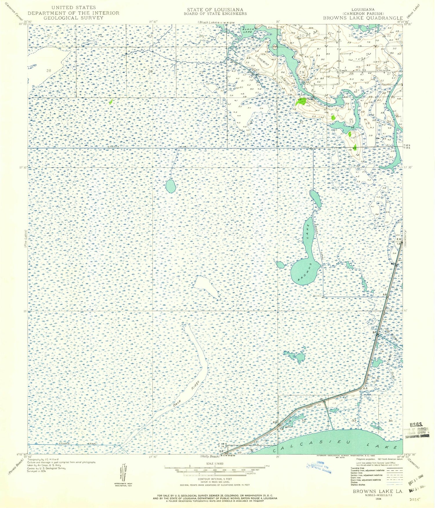
MyTopo
Classic USGS Browns Lake Louisiana 7.5'x7.5' Topo Map
Couldn't load pickup availability
Historical USGS topographic quad map of Browns Lake in the state of Louisiana. Map scale may vary for some years, but is generally around 1:24,000. Print size is approximately 24" x 27"
This quadrangle is in the following counties: Cameron.
The map contains contour lines, roads, rivers, towns, and lakes. Printed on high-quality waterproof paper with UV fade-resistant inks, and shipped rolled.
Contains the following named places: Back Ridge, Back Ridge Canal, Browns Lake, Chinaberry Island, Hackberry Census Designated Place, Hackberry Recreation Area, Hog Island, Hog Island Gully, Lost Ridge, Parish Governing Authority District 2, Shell Canal, Starks North Canal, Vincent Island, West Hackberry Strategic Petroleum Reserve, Wild Cow Lake, ZIP Code: 70645