
MyTopo
Classic USGS Browns Lake Mississippi 7.5'x7.5' Topo Map
Couldn't load pickup availability
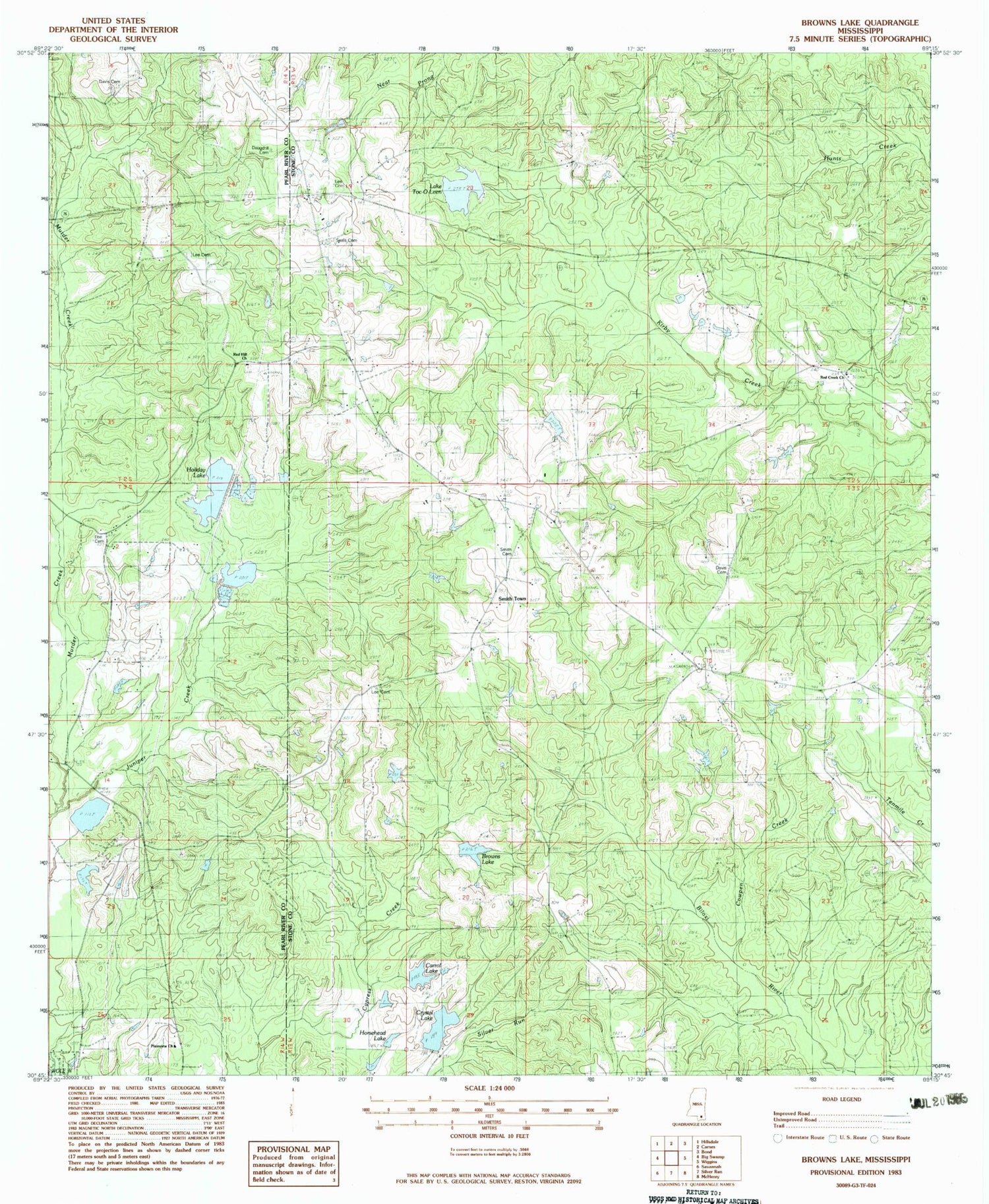
Historical USGS topographic quad map of Browns Lake in the state of Mississippi. Map scale may vary for some years, but is generally around 1:24,000. Print size is approximately 24" x 27"
This quadrangle is in the following counties: Pearl River, Stone.
The map contains contour lines, roads, rivers, towns, and lakes. Printed on high-quality waterproof paper with UV fade-resistant inks, and shipped rolled.
Contains the following named places: Batson Lake Dam, Bill Cloud Lake Dam, Browns Lake, Browns Lake Dam, Carrol Lake, Cowpen Creek, Crystal Lake, Daugdrill Cemetery, Davis Cemetery, Donald Durks Lake Dam, Holiday Lake, Horsehead Lake, Juniper Creek, Lake Toc-O-Leen, Lake Toc-O-Leen Dam, Lee Cemetery, Lee Lookout Tower, Magnolia School, Magnolia Volunteer Fire Department, Plainview Church, Red Creek Church, Red Hill Church, Rogers Lake Dam, Seals Cemetery, Smith Cemetery, Smith Lake Dam, Smith Town, Supervisor District 3, Toc - O - Leen Campground, Turkey Creek, W W Cloud Lake Dam, Wesson Lake Dam


