MyTopo
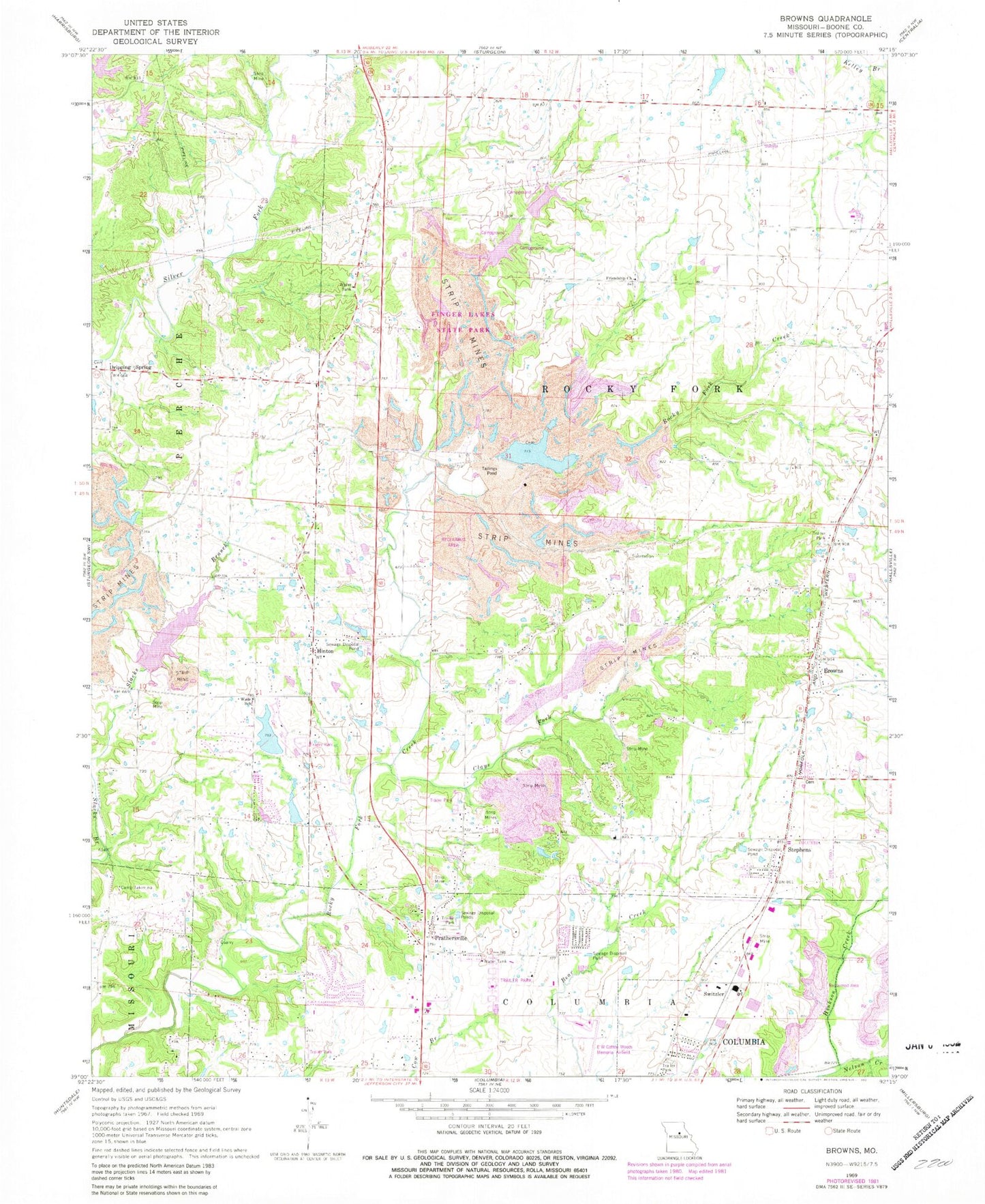
Classic USGS Browns Missouri 7.5'x7.5' Topo Map
Couldn't load pickup availability
Historical USGS topographic quad map of Browns in the state of Missouri. Map scale may vary for some years, but is generally around 1:24,000. Print size is approximately 24" x 27"
This quadrangle is in the following counties: Boone.
The map contains contour lines, roads, rivers, towns, and lakes. Printed on high-quality waterproof paper with UV fade-resistant inks, and shipped rolled.
Contains the following named places: Aaron Lake, Aaron Lake Dam, Alpha Hart Lewis Elementary School, Ausburns Lake Dam, Barnes School, Bo Co Mo Lake, Boco Mo Dam, Bon-Gor Lake Dam, Boone County Fire Protection District Station 5, Boone County Fire Protection District Station 7, Boone County Sheriff's Office, Browns, Browns School, Camp Takimina, Clays Fork, Columbia Sportsmans Club Lake Dam, Conley School, Country View Acres Lake Dam, County Downes Lake Dam, Dripping Spring, E W Cotton Woods Memorial Airport, Finger Lakes State Park, Friendship Church, Garrett Lake Dam, Hinton, Hopper Dam, Lake Caroline, Lewis Lake Dam South, McKenzie Lake Dam, Middleton, Middletown School, Nelson Creek, Prathersville, Rayfield Lake Dam, Rocky Fork Creek Dam, Rocky Fork Lakes Conservation Area, Searcy School, Seltsam Lake Dam, Silver Creek Lake, Silver Creek Lake Dam, Stephens, Switzler, Turner School, Wade School, Walnut Crest Lake Dam, Weil Lake Dam, ZIP Code: 65202


