MyTopo
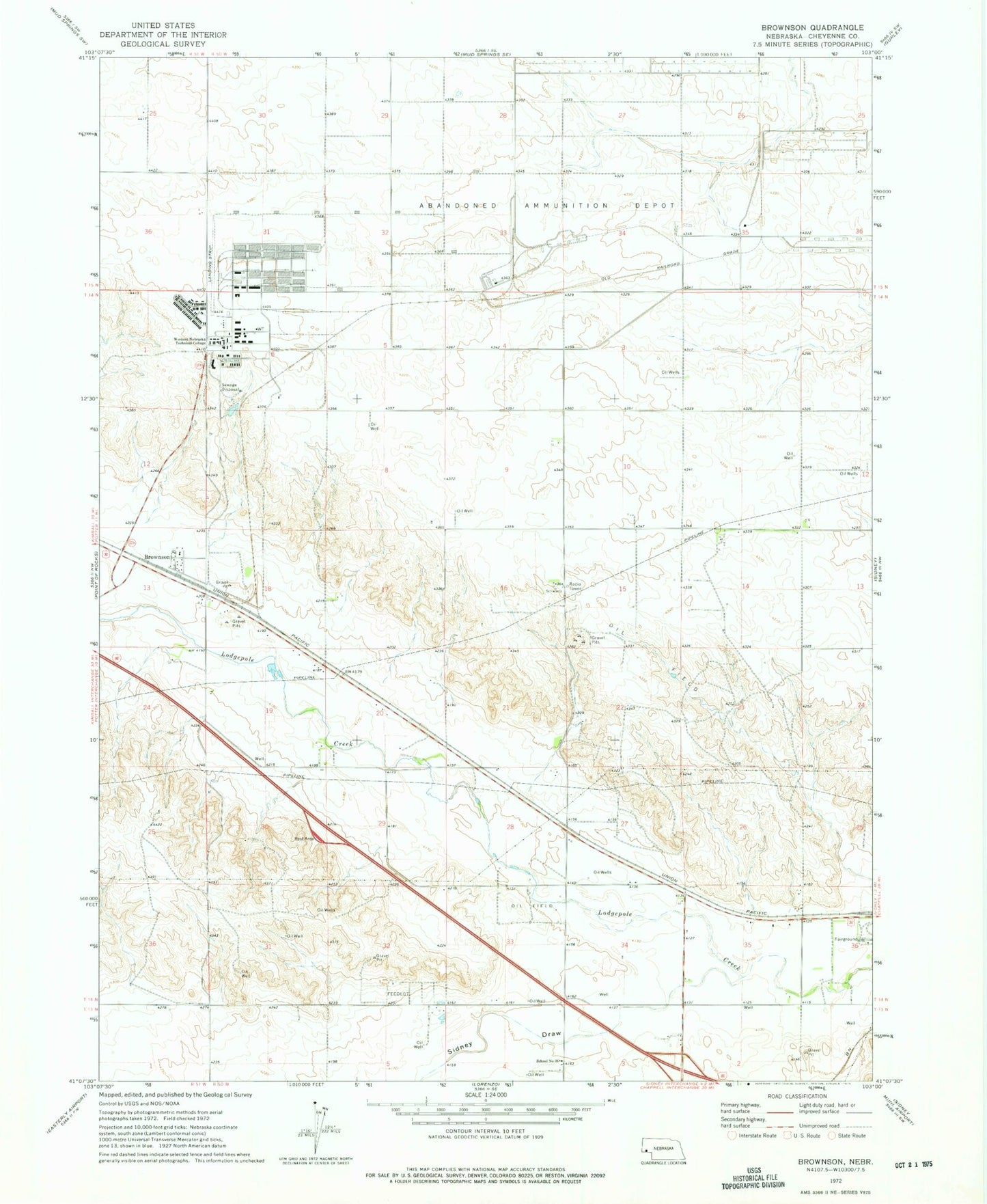
Classic USGS Brownson Nebraska 7.5'x7.5' Topo Map
Couldn't load pickup availability
Historical USGS topographic quad map of Brownson in the state of Nebraska. Map scale may vary for some years, but is generally around 1:24,000. Print size is approximately 24" x 27"
This quadrangle is in the following counties: Cheyenne.
The map contains contour lines, roads, rivers, towns, and lakes. Printed on high-quality waterproof paper with UV fade-resistant inks, and shipped rolled.
Contains the following named places: Beyer Dam, Beyer Reservoir, Bronson Post Office, Brownson, Cheyenne County Historical Marker, Er-Runge Reservoir, Margate, Ordville, School Number 36, Sidney Draw, Sidney Eastbound Travel Information Center, Sidney Rest Area, Sioux Army Depot Historical Marker, The Golden Link Historical Marker, Tobler-Runge Dam, Village of Potter, Western Nebraska Community College Airport, Western Nebraska Technical College, ZIP Code: 69162