MyTopo
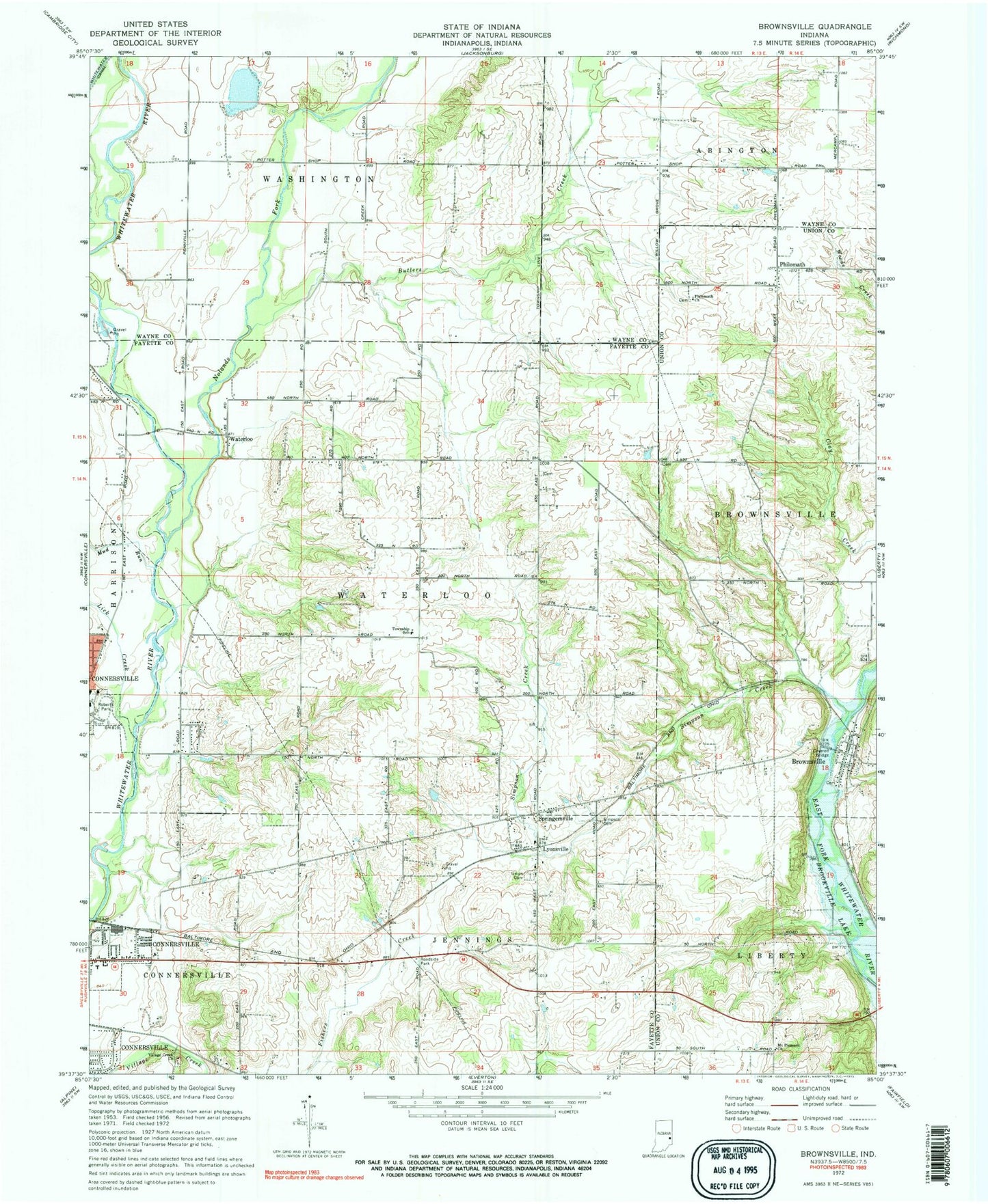
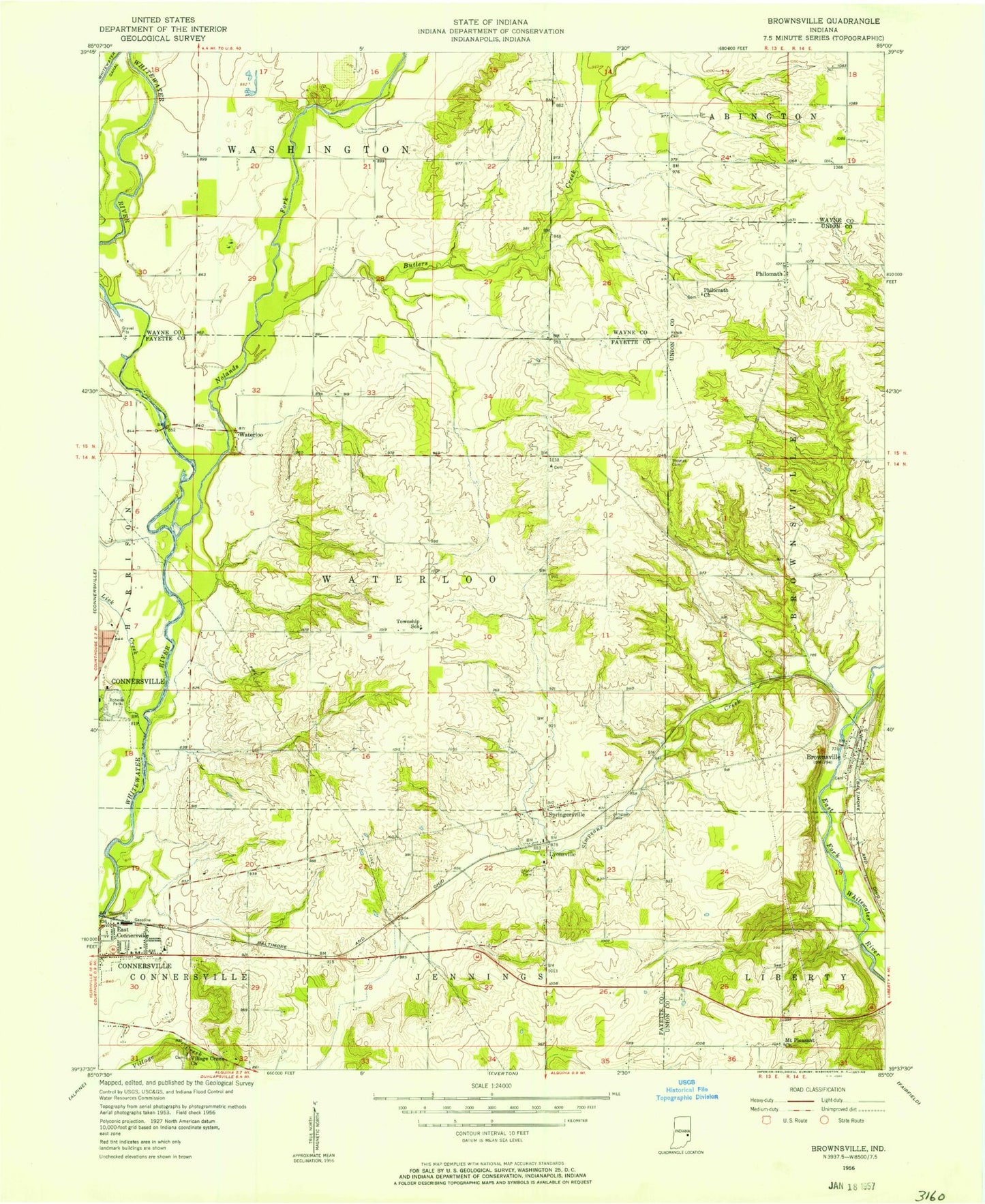
Classic USGS Brownsville Indiana 7.5'x7.5' Topo Map
Couldn't load pickup availability
Historical USGS topographic quad map of Brownsville in the state of Indiana. Map scale may vary for some years, but is generally around 1:24,000. Print size is approximately 24" x 27"
This quadrangle is in the following counties: Fayette, Union, Wayne.
The map contains contour lines, roads, rivers, towns, and lakes. Printed on high-quality waterproof paper with UV fade-resistant inks, and shipped rolled.
Contains the following named places: Brownsville, Brownsville Post Office, Butlers Creek, Clark's Greenhouses, Connersville Fire Department Station 4, Green Cemetery, Lick Creek, Lyonsville, Mount Pleasant Church, Mud Run, Nolands Fork, Philomath, Philomath Church, Robinson Chapel Cemetery, Shrine of Memories Mausoleum, Simpson Cemetery, Simpson Creek, Springersville, Springersville Cemetery, Squires Airport, Township of Waterloo, Turkey Creek, Union Cemetery, Village Creek Cemetery, Village Creek Church, Waterloo, Whitewater Canal, ZIP Code: 47325