MyTopo
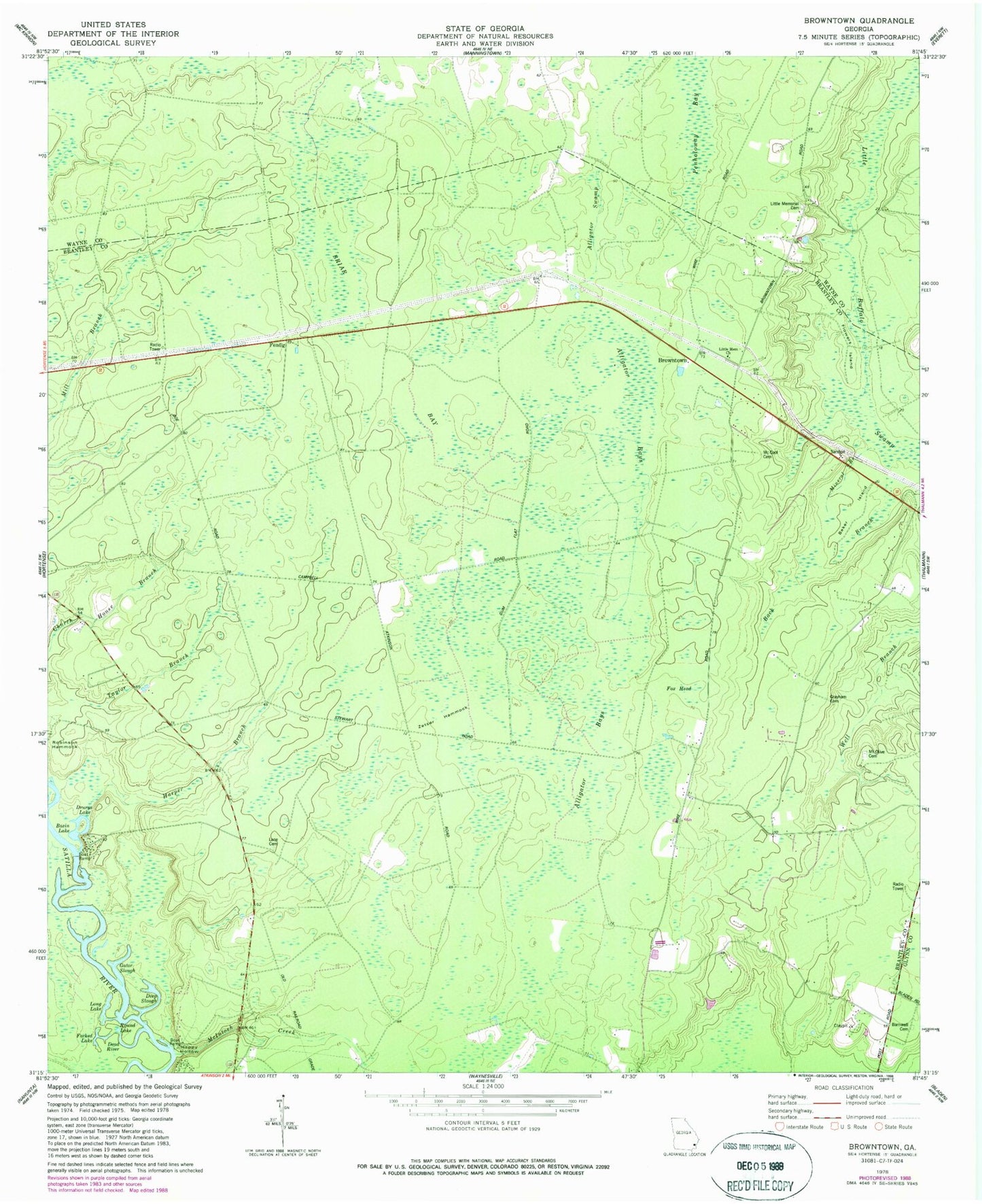
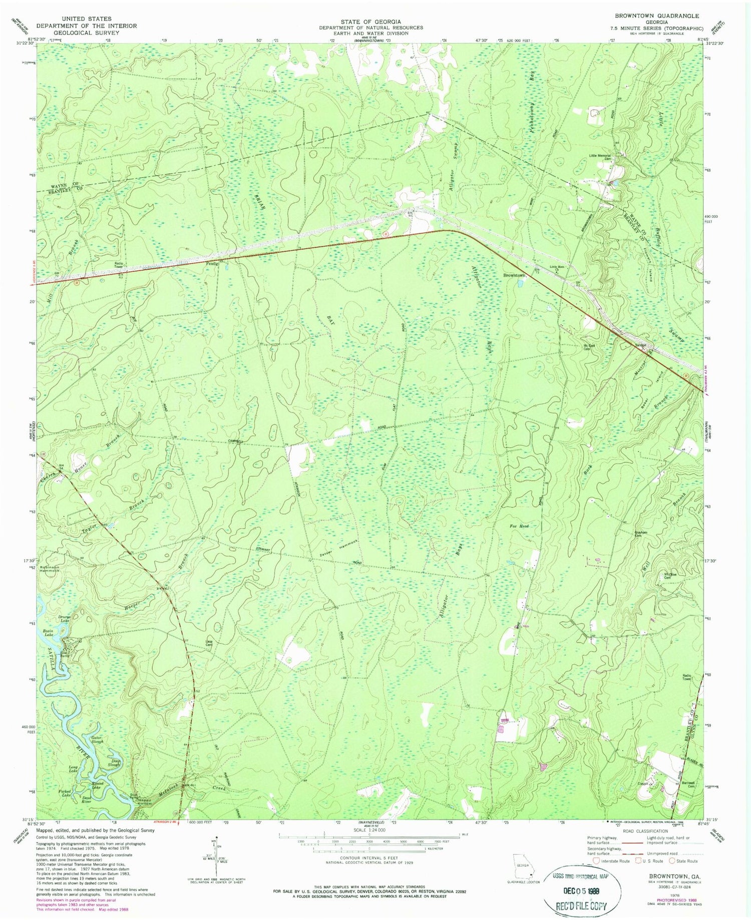
Classic USGS Browntown Georgia 7.5'x7.5' Topo Map
Couldn't load pickup availability
Historical USGS topographic quad map of Browntown in the state of Georgia. Map scale may vary for some years, but is generally around 1:24,000. Print size is approximately 24" x 27"
This quadrangle is in the following counties: Brantley, Glynn, Wayne.
The map contains contour lines, roads, rivers, towns, and lakes. Printed on high-quality waterproof paper with UV fade-resistant inks, and shipped rolled.
Contains the following named places: Alligator Bays, Alligator Swamp, Back Branch, Baker Island, Barnwell Cemetery, Basin Lake, Briar Bay, Browntown, Buzzard Roost Reach, Cypress Lake, Dead River, Deep Slough, Drurys Lake, Fendig, Flat Wood Bluff Reach, Flatwoods Bluff, Flowers Island, Forked Lake, Fox Head, Gator Slough, Grayham Cemetery, Happy Hollow, Harper Branch, Lane Cemetery, Little Memorial, Little Memorial Cemetery, Long Lake, McCool Cemetery, McIntosh Bend, McIntosh Creek, Mineral Branch, Mount Olive Cemetery, Mount Zion Church, Oak Grove Church, Robinson Hammock, Round Lake, Taylor Branch, Zetser Hammock, ZIP Code: 31543