
MyTopo
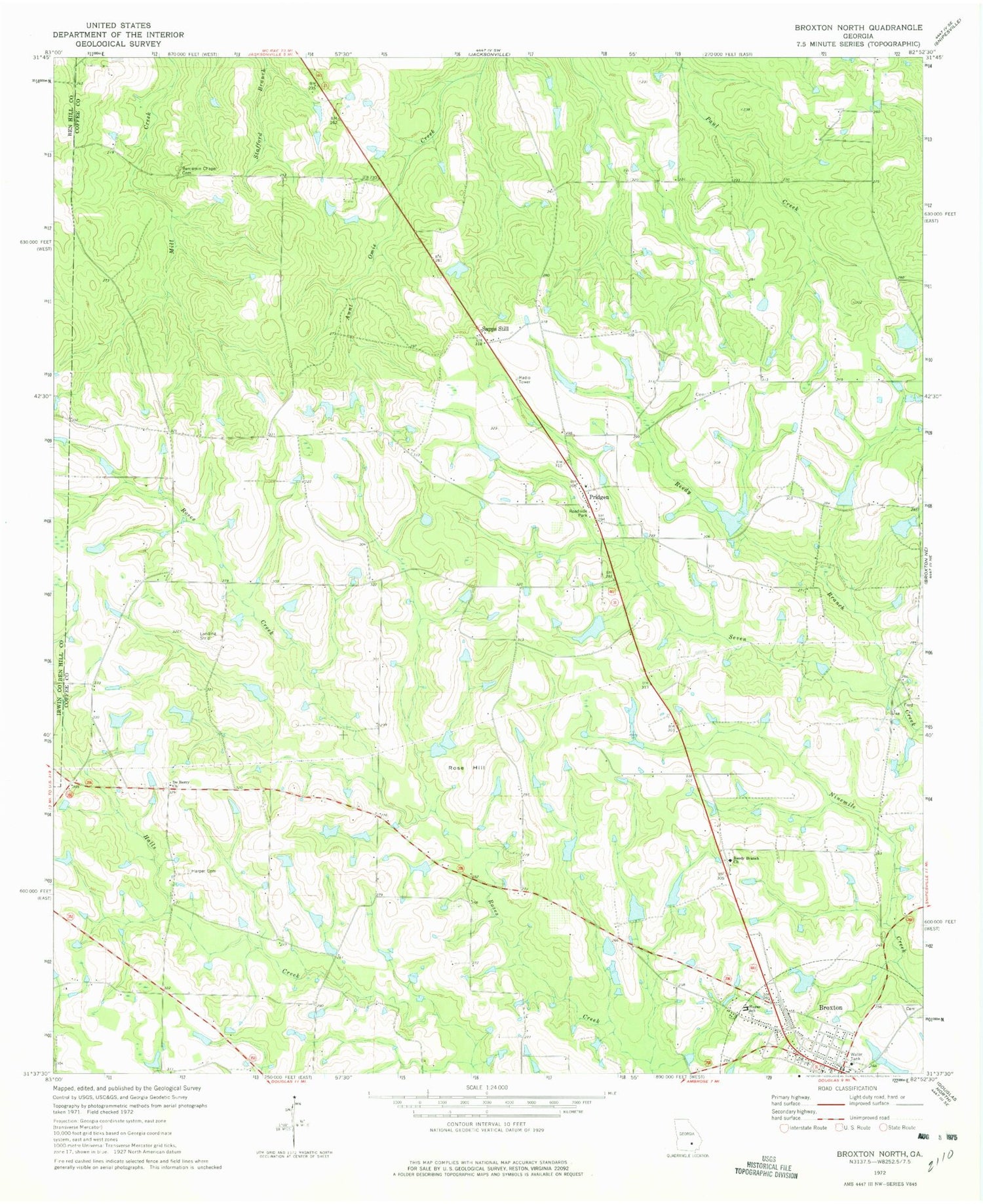
Classic USGS Broxton North Georgia 7.5'x7.5' Topo Map
Couldn't load pickup availability
Historical USGS topographic quad map of Broxton North in the state of Georgia. Map scale may vary for some years, but is generally around 1:24,000. Print size is approximately 24" x 27"
This quadrangle is in the following counties: Ben Hill, Coffee, Irwin.
The map contains contour lines, roads, rivers, towns, and lakes. Printed on high-quality waterproof paper with UV fade-resistant inks, and shipped rolled.
Contains the following named places: Benjamin Chapel Cemetery, Broxton, Broxton City Cemetery, Broxton Division, Broxton Post Office, Candacy Cato Cemetery, Coffee County Fire and Rescue Department Station 8, De Berry Cemetery, De Berry Church, Dockery Pond, Dockery Pond Dam, Harper Cemetery, Hayes School, J J Dockery Pond, J J Dockery Pond Dam, James Smith Lake, James Smith Lake Dam, Kight Lake, Kight Lake Dam, Mary Hayes High School, Pridgen, Prigden Baptist Church, Prigden Cemetery, Reedy Branch, Reedy Branch Cemetery, Reedy Branch Church, Reynolds Lake, Reynolds Lake Dam, Rose Hill, Sam Jones Lake, Sam Jones Lake Dam, Sapps Still, Trinity Mission for Christ Deliverance Center, ZIP Code: 31519


