
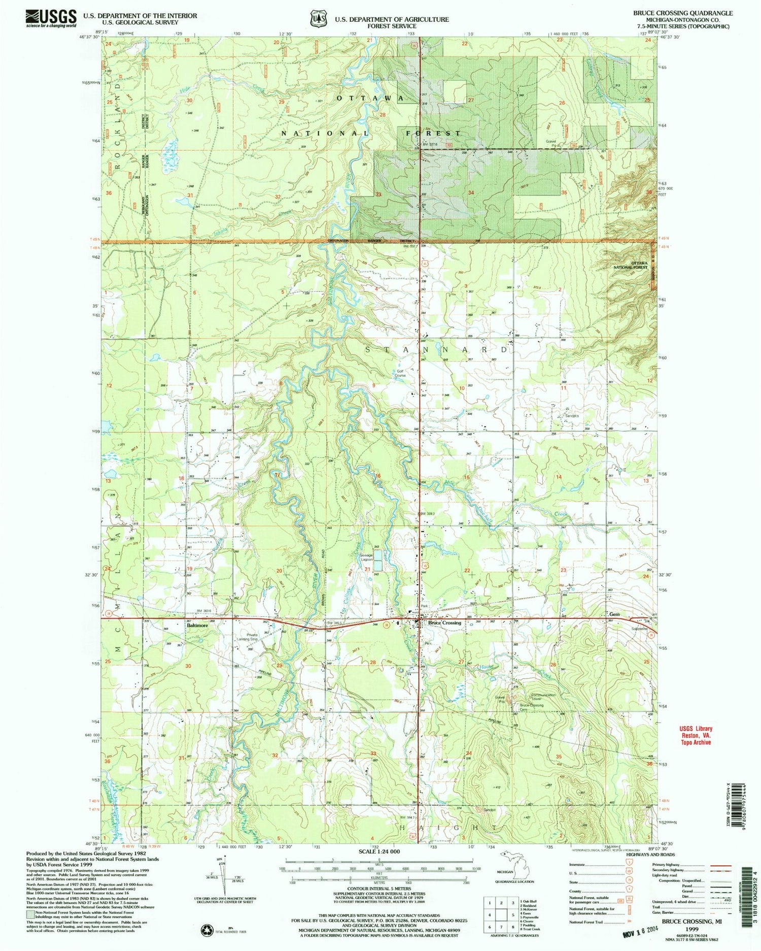
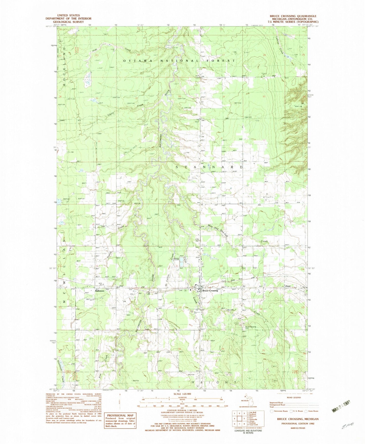
MyTopo
Classic USGS Bruce Crossing Michigan 7.5'x7.5' Topo Map
Couldn't load pickup availability
Historical USGS topographic quad map of Bruce Crossing in the state of Michigan. Map scale may vary for some years, but is generally around 1:24,000. Print size is approximately 24" x 27"
This quadrangle is in the following counties: Ontonagon.
The map contains contour lines, roads, rivers, towns, and lakes. Printed on high-quality waterproof paper with UV fade-resistant inks, and shipped rolled.
Contains the following named places: Balitmore, Bethany Lutheran Church, Bruce Crossing, Bruce Crossing Cemetery, Bruce Crossing Census Designated Place, Bruce Crossing Post Office, Bruce Crossing Volunteer Fire Department, Clear Creek, Gem, Hide Creek, House Creek, Inkala Creek, Mile and One-half Creek, North Bruce Church, Perttus Big Spruce Golf Course, Pietila Creek, Pine Creek, Saint Cullins Creek, Sonco Ambulance, Stannard Township Park, Township of Stannard, Western Upper Peninsula Health Center


