MyTopo
Classic USGS Brule NE Nebraska 7.5'x7.5' Topo Map
Regular price
$16.95
Regular price
Sale price
$16.95
Unit price
per
Couldn't load pickup availability
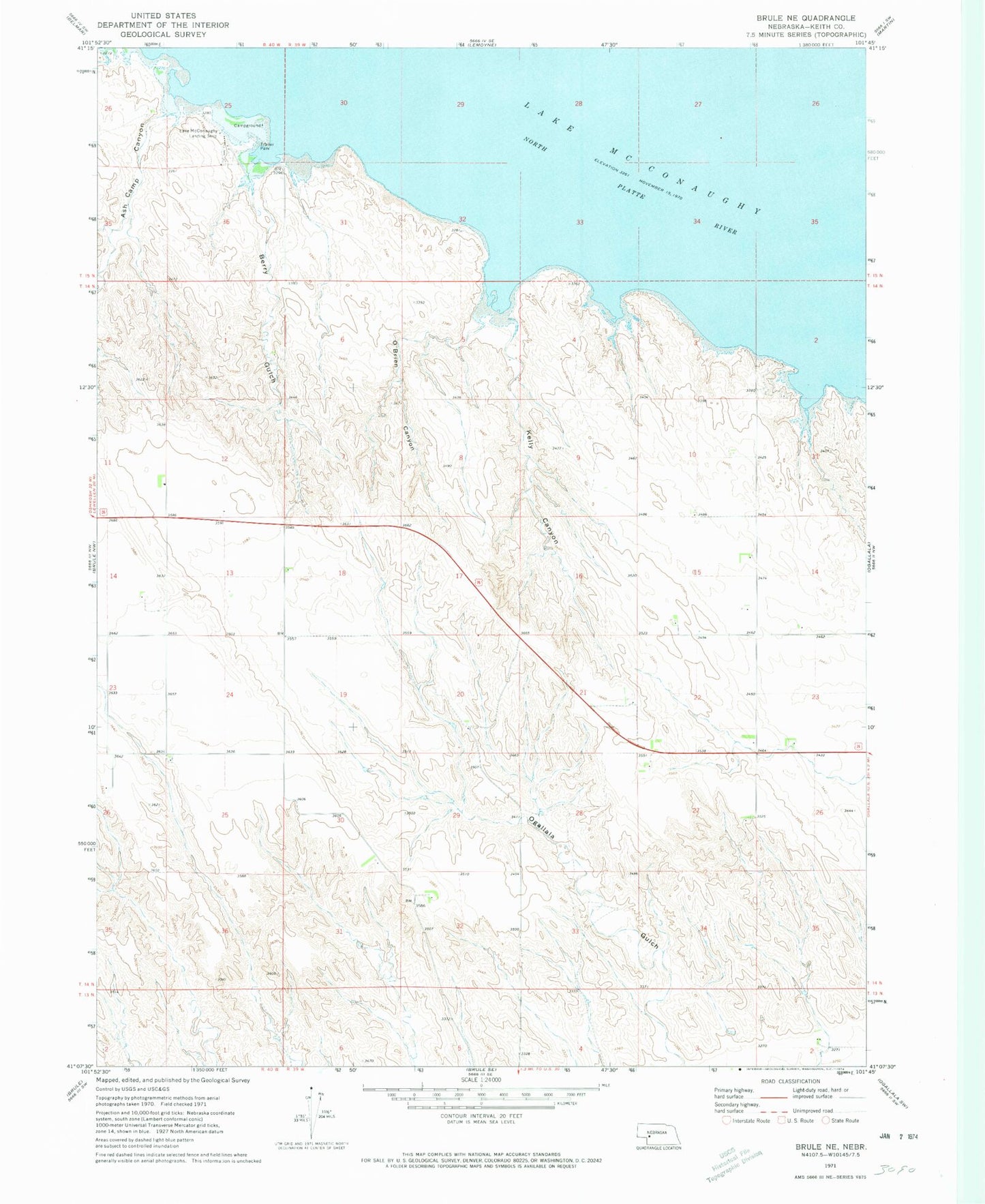
Historical USGS topographic quad map of Brule NE in the state of Nebraska. Map scale may vary for some years, but is generally around 1:24,000. Print size is approximately 24" x 27"
This quadrangle is in the following counties: Keith.
The map contains contour lines, roads, rivers, towns, and lakes. Printed on high-quality waterproof paper with UV fade-resistant inks, and shipped rolled.
Contains the following named places: Ash Camp Canyon, Berry Gulch, Kelly Canyon, Lake McConaughy, Lake View Campground, O'Brien Canyon, Ogallala Gulch, Vans Lakeview Fishing Camp and Campgrounds