MyTopo
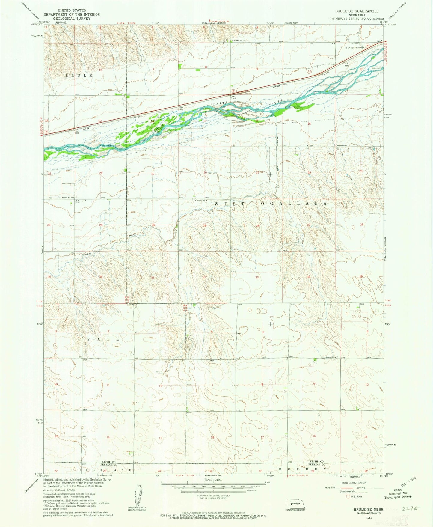
Classic USGS Brule SE Nebraska 7.5'x7.5' Topo Map
Couldn't load pickup availability
Historical USGS topographic quad map of Brule SE in the state of Nebraska. Map scale may vary for some years, but is generally around 1:24,000. Print size is approximately 24" x 27"
This quadrangle is in the following counties: Keith, Perkins.
The map contains contour lines, roads, rivers, towns, and lakes. Printed on high-quality waterproof paper with UV fade-resistant inks, and shipped rolled.
Contains the following named places: Chase Canyon, Detention Dam 1, Ogallala Eastbound Travel Information Center, Ogallala Rest Area - Eastbound, School Number 14, School Number 48, School Number 5, School Number 62, School Number 9, Searle Field, Shelburnes Airport, Western Irrigation District Number 1 Dam, Western Irrigation District Reservoir