MyTopo
Classic USGS Brule Nebraska 7.5'x7.5' Topo Map
Couldn't load pickup availability
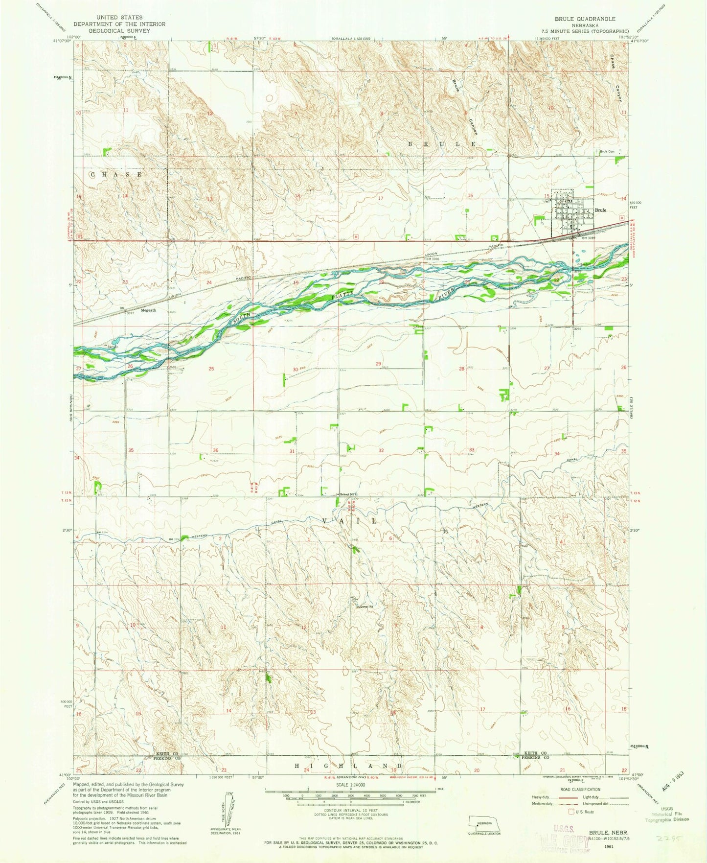
Historical USGS topographic quad map of Brule in the state of Nebraska. Map scale may vary for some years, but is generally around 1:24,000. Print size is approximately 24" x 27"
This quadrangle is in the following counties: Keith, Perkins.
The map contains contour lines, roads, rivers, towns, and lakes. Printed on high-quality waterproof paper with UV fade-resistant inks, and shipped rolled.
Contains the following named places: Beals Trailer Court, Brule, Brule Canyon, Brule Cemetery, Brule Creek Reservoir 1-A, Brule Post Office, Brule Volunteer Fire Department, California Hill Historical Marker, Detention Dam 1-A-1, Diamond Springs, Jacks Bean Company Elevator, Megeath, Riverside Campground, Saint Johns Lutheran Church, School Number 61, South Platte Elementary School, United Church of Christ Congregational, Village of Brule