MyTopo
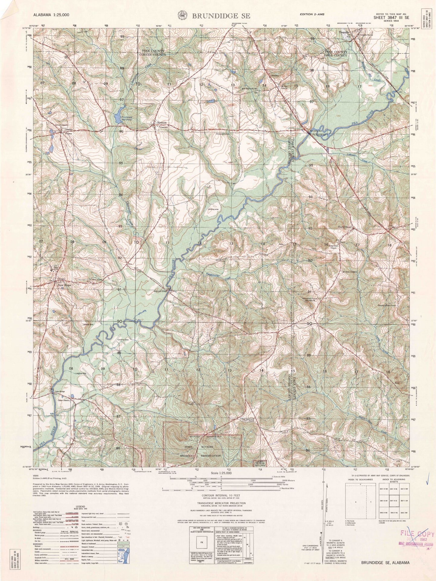
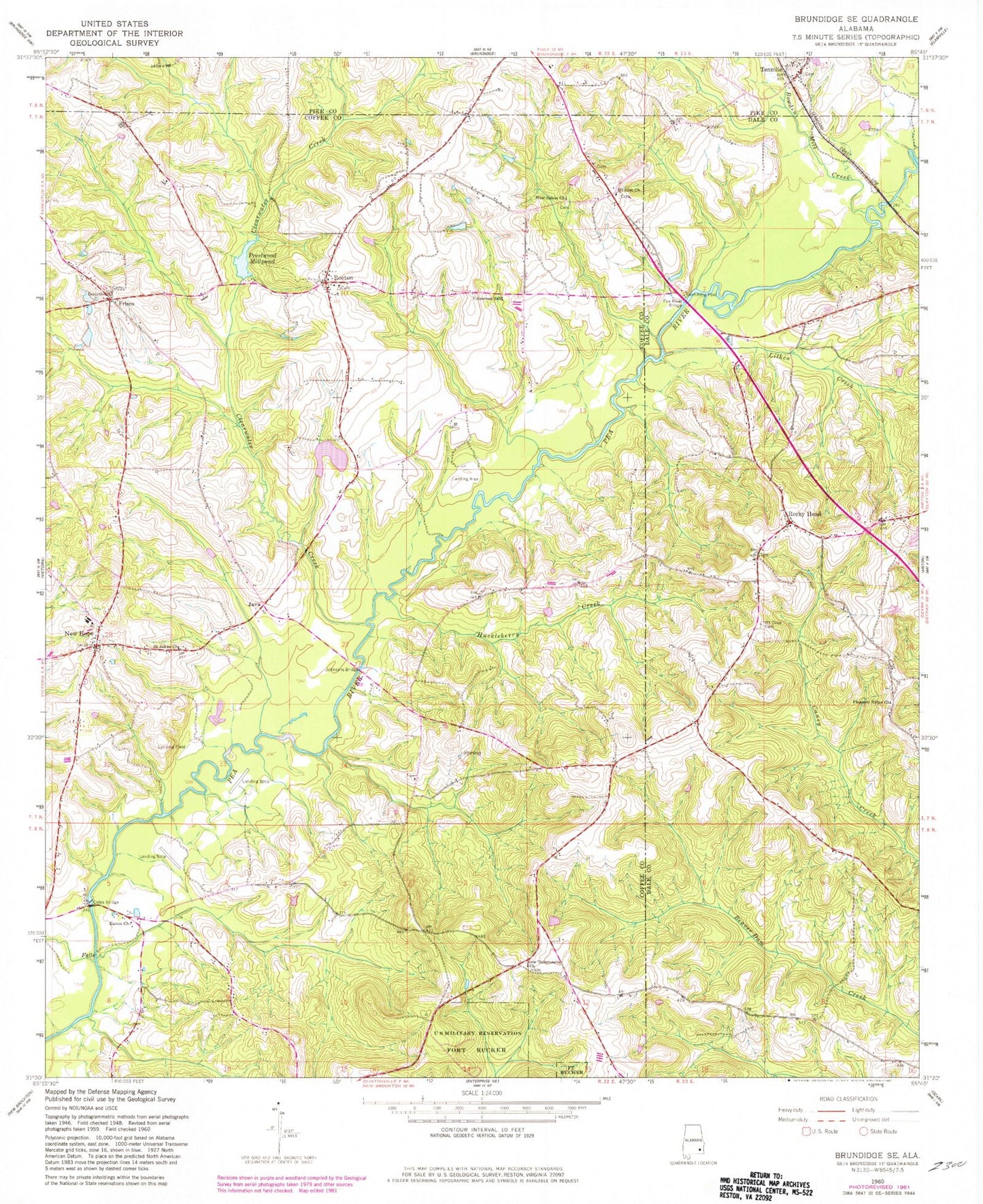
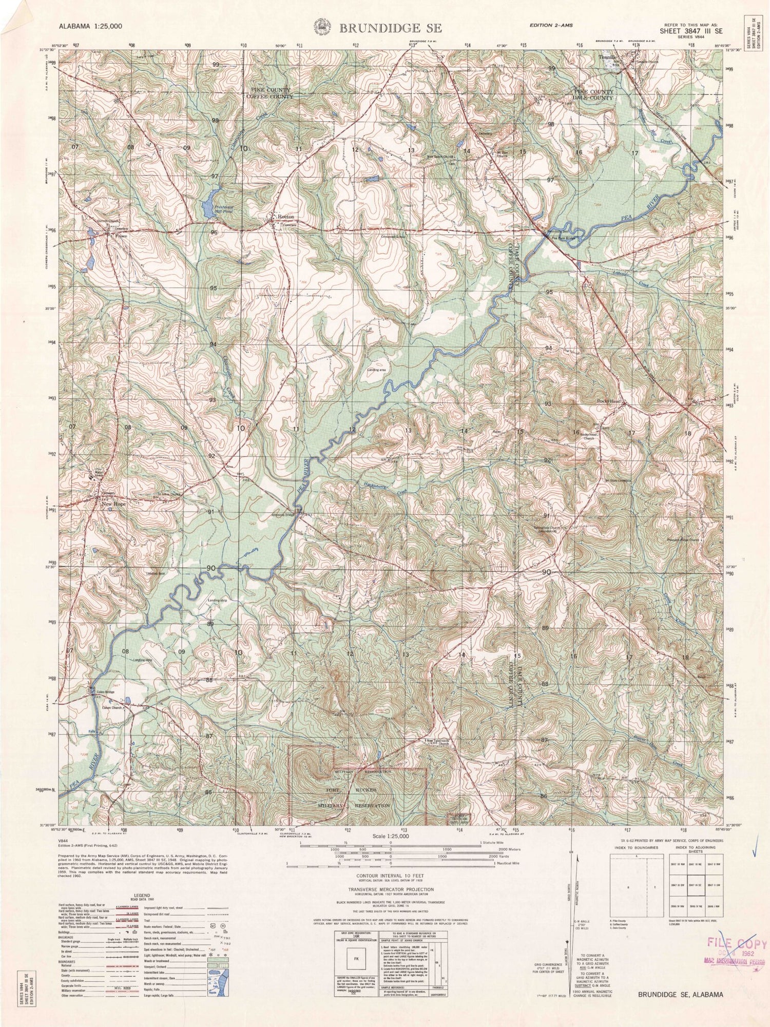
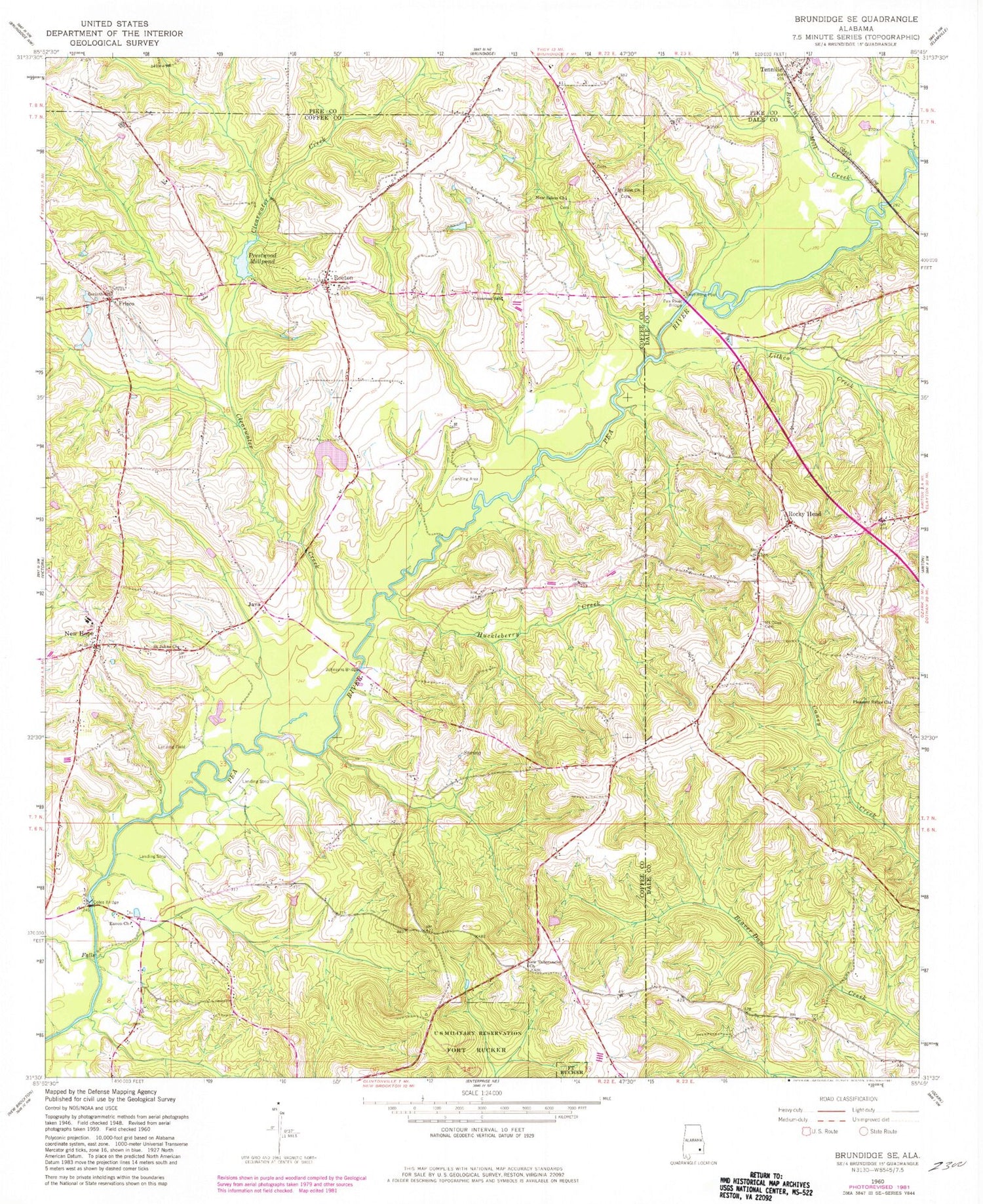
Classic USGS Brundidge SE Alabama 7.5'x7.5' Topo Map
Couldn't load pickup availability
Historical USGS topographic quad map of Brundidge SE in the state of Alabama. Map scale may vary for some years, but is generally around 1:24,000. Print size is approximately 24" x 27"
This quadrangle is in the following counties: Coffee, Dale, Pike.
The map contains contour lines, roads, rivers, towns, and lakes. Printed on high-quality waterproof paper with UV fade-resistant inks, and shipped rolled.
Contains the following named places: Bethel Church, Blacks Mills, Bowden Mill Creek, Butts Branch, Camp Branch, Clearwater Creek, Coles Bridge, Corinth Primitive Baptist Church, Crossroad School, Eanon Baptist Church, Eanon School, Enon School, Frisco, Gin Branch, Halls Creek, Huckleberry Creek, Java, Johnson Creek, Johnsons Bridge, Kiser Mill Creek, Lawrence, Lithco Creek, Mossy Grove Cemetery, Mount Olive Cemetery, Mount Olive Church, Mount Zion Baptist Church, Mount Zion Cemetery, New Hope, New Hope Baptist Church, New Hope Cemetery, New Hope School, New Salem Church, New Tabernacle Cemetery, New Tabernacle Church, Pea River Bridge, Pine Union School, Pitman Branch, Pleasant Ridge United Methodist Church, Prestwood Millpond, Rocky Head, Rocky Head Baptist Church, Rocky Head School, Roe Branch, Roeton, Roeton Baptist Church, Roeton Cemetery, Roeton Mill Pond Dam, Saint John Baptist Church, Saint Johns Cemetery, Saint Johns School, Selgar Family Cemetery, Shellgrove Mill, Springfield Church, Springfield School, Strickland Cemetery, Tabernacle School, Tanyard Branch, Taynard Branch, Tennille, Tennille Church, West Clearwater Creek


