MyTopo
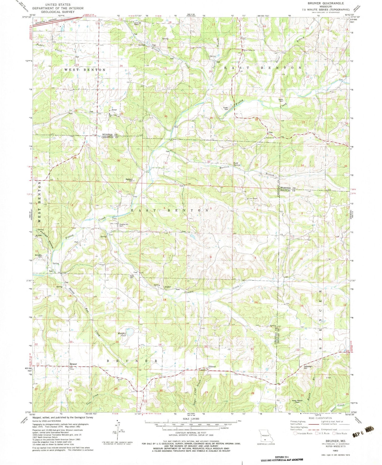
Classic USGS Bruner Missouri 7.5'x7.5' Topo Map
Couldn't load pickup availability
Historical USGS topographic quad map of Bruner in the state of Missouri. Map scale may vary for some years, but is generally around 1:24,000. Print size is approximately 24" x 27"
This quadrangle is in the following counties: Christian, Douglas, Webster.
The map contains contour lines, roads, rivers, towns, and lakes. Printed on high-quality waterproof paper with UV fade-resistant inks, and shipped rolled.
Contains the following named places: Abadyl, Bruner, Bruner Church, Bruner Post Office, Bruner School, Davis Branch, Dillon School, Easter Cemetery, Elkhead, Fairview Church, Gertrude, Glesa, Greasy Creek, Green Hill Chapel, Green Hill School, Hyde Cemetery, Johns Mills, La Rose Church, La Rose School, Little Finley Creek, Martins Branch, Mathal, McHaffie Cemetery, McHaffie Church, McHaffie School, Mount Gillian Church, Murphy Pond, Olga, Ozarks Flying Patch Airport, Pauls Lake Dam, Phillips Hollow, Pleasant Hope School, Ragsdale Cemetery, Roberts School, Rogers School, Sartin Cemetery, Sherrow School, Silver Shade School, Southern Webster County Fire Protection District Station 4, Squaw Run Creek, Stewart Creek, Swearengin Cemetery, Temple Hill Cemetery, Temple Hill Church, Terell Branch, Todd Spring, Township of Bruner, Township of East Benton, Township of Green Hill, Township of Spencer, Union Chapel, West Finley Cemetery, West Finley Church, Zenar, ZIP Code: 65620


