MyTopo
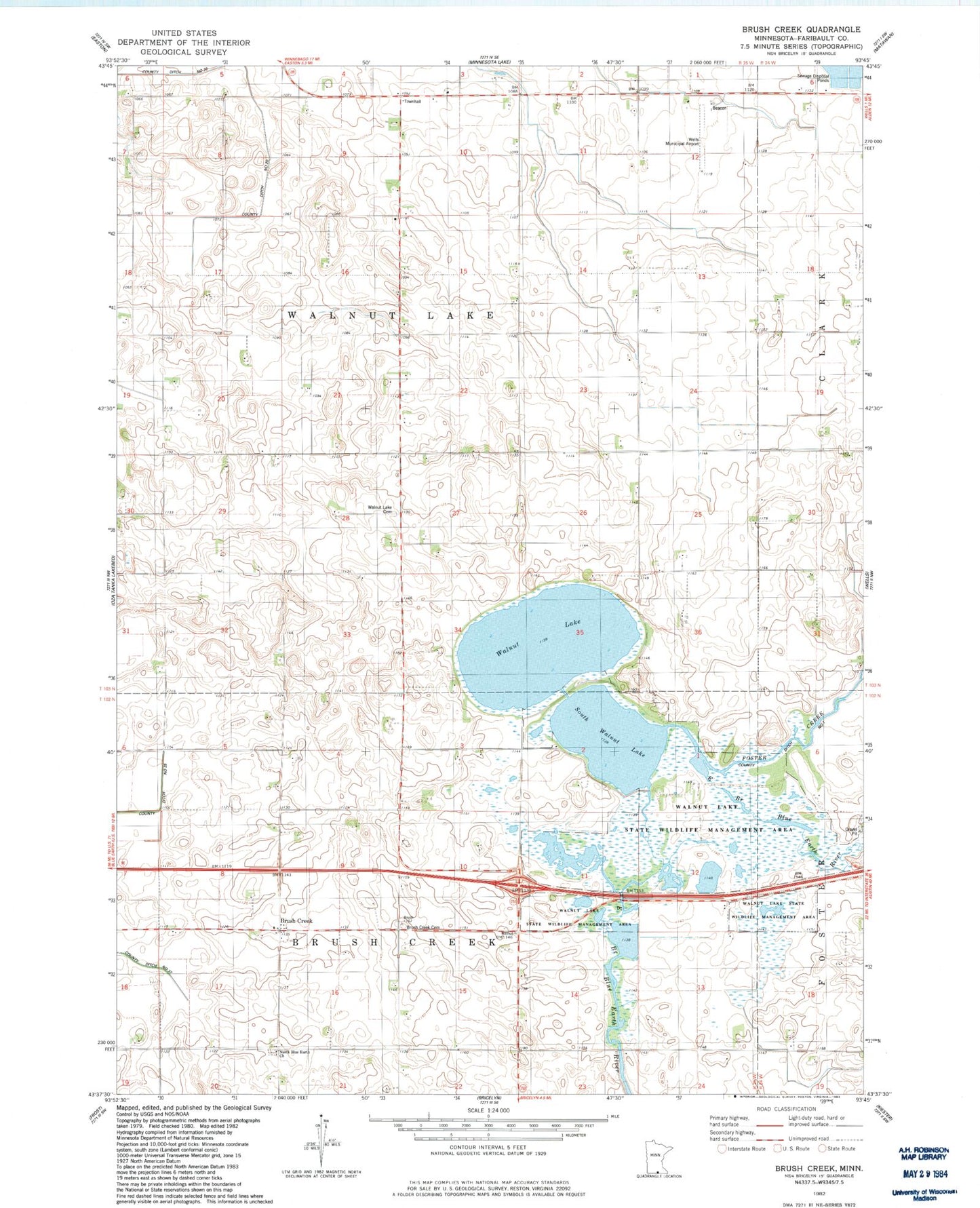
Classic USGS Brush Creek Minnesota 7.5'x7.5' Topo Map
Couldn't load pickup availability
Historical USGS topographic quad map of Brush Creek in the state of Minnesota. Map scale may vary for some years, but is generally around 1:24,000. Print size is approximately 24" x 27"
This quadrangle is in the following counties: Faribault.
The map contains contour lines, roads, rivers, towns, and lakes. Printed on high-quality waterproof paper with UV fade-resistant inks, and shipped rolled.
Contains the following named places: Brush Creek, Brush Creek Cemetery, Brush Creek Post Office, County Ditch Number Twenty, County Ditch Number Twentyfive, Foster Creek, North Blue Earth Church, North Blue Earth Lutheran Cemetery, South Walnut Lake, South Walnut Lake Dam, Tabor Church, Township of Brush Creek, Township of Walnut Lake, Walnut Lake, Walnut Lake Cemetery, Walnut Lake Methodist Cemetery, Walnut Lake State Wildlife Management Area, Wells Municipal Airport