MyTopo
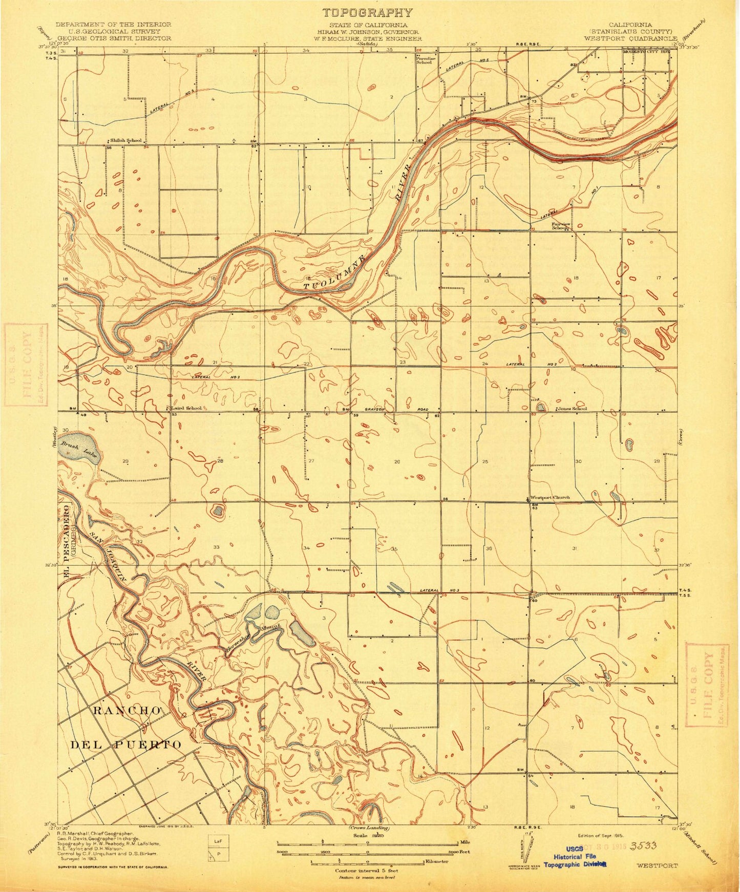
Classic USGS Brush Lake California 7.5'x7.5' Topo Map
Couldn't load pickup availability
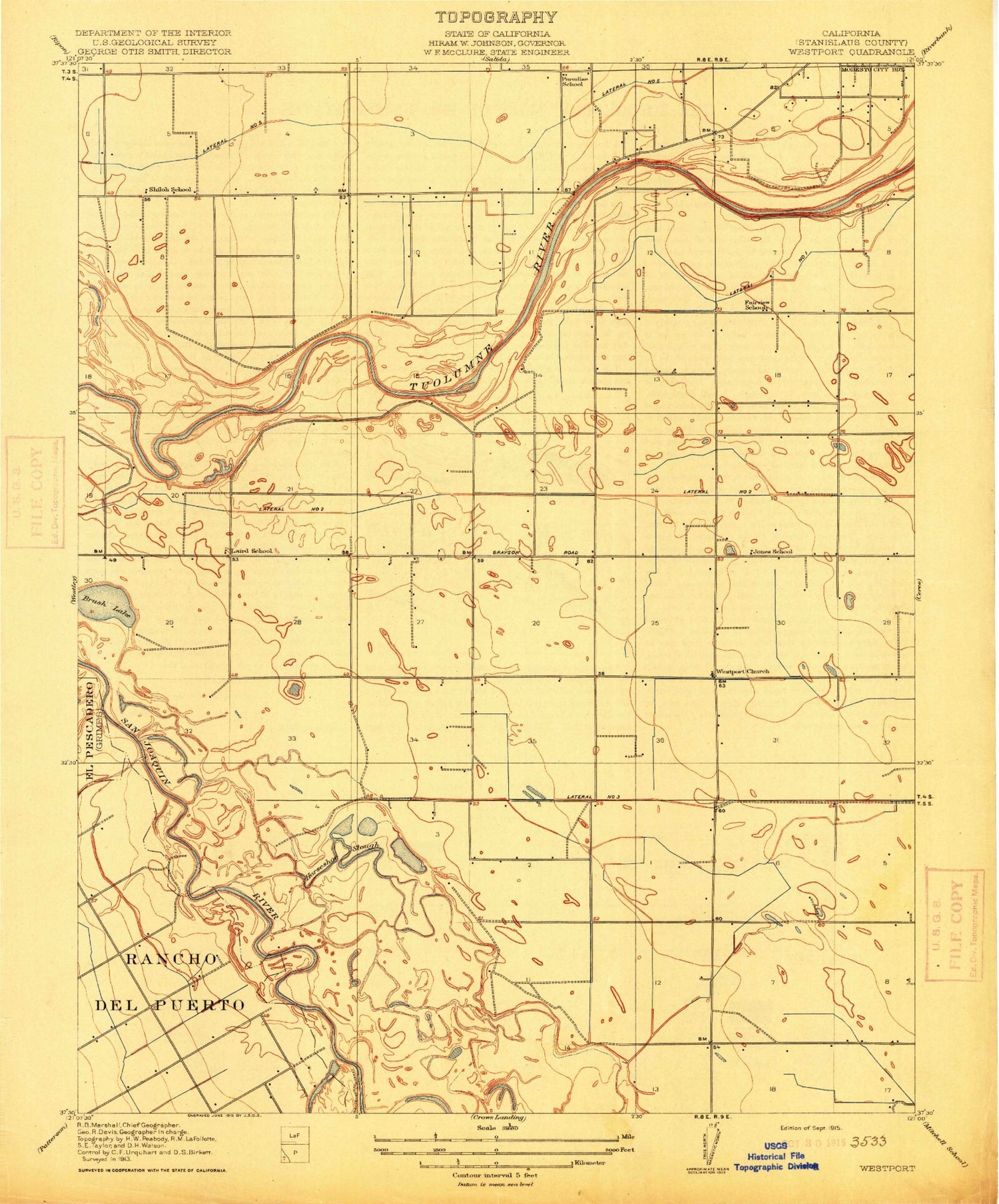
Historical USGS topographic quad map of Brush Lake in the state of California. Map scale may vary for some years, but is generally around 1:24,000. Print size is approximately 24" x 27"
This quadrangle is in the following counties: Stanislaus.
The map contains contour lines, roads, rivers, towns, and lakes. Printed on high-quality waterproof paper with UV fade-resistant inks, and shipped rolled.
Contains the following named places: Adamsville State Historic Landmark, Alamo Dairy, Bellenita Park, Bonzi Sanitation Landfill, Bret Harte Census Designated Place, Bret Harte Elementary School, Bret Harte Park, Brush Lake, Burbank Elementary School, Burbank Paradise Clubhouse, Burbank Paradise Fire Protection District, Caruso Shopping Center, Clarot Farms, Del Puerto Creek, Dryden Park Municipal Golf Course, Edelweiss Dairy, El Pescadero, Fairview Elementary School, Fairview Park, Hatch Drain, James Marshall Elementary School, Jennings School, John Thurman Field, Jones School, Kirschen Elementary School, KLOC-AM (Ceres), Laird School, Lamb Farms, Lateral A, Lateral B, Lateral Number One, Lower Lateral Number Two, Lower Lateral Number Two and One Half, Modesto Post Office Paradise Station, Monterey Park Tract Census Designated Place, Paradise Elementary School, Paradise Park, Riverdale Park, Riverdale Park Census Designated Place, Robertson Road Elementary School, Robertson Road Park, Rouse Census Designated Place, Shiloh School, Tuolumne River Regional Park, West Modesto Census Designated Place, Westport Church, Westport Division, Westport Drain, Westport Elementary School, Westport Fire Protection District, ZIP Code: 95358


