MyTopo
Classic USGS Brush Mountain SW Montana 7.5'x7.5' Topo Map
Regular price
$16.95
Regular price
Sale price
$16.95
Unit price
per
Couldn't load pickup availability
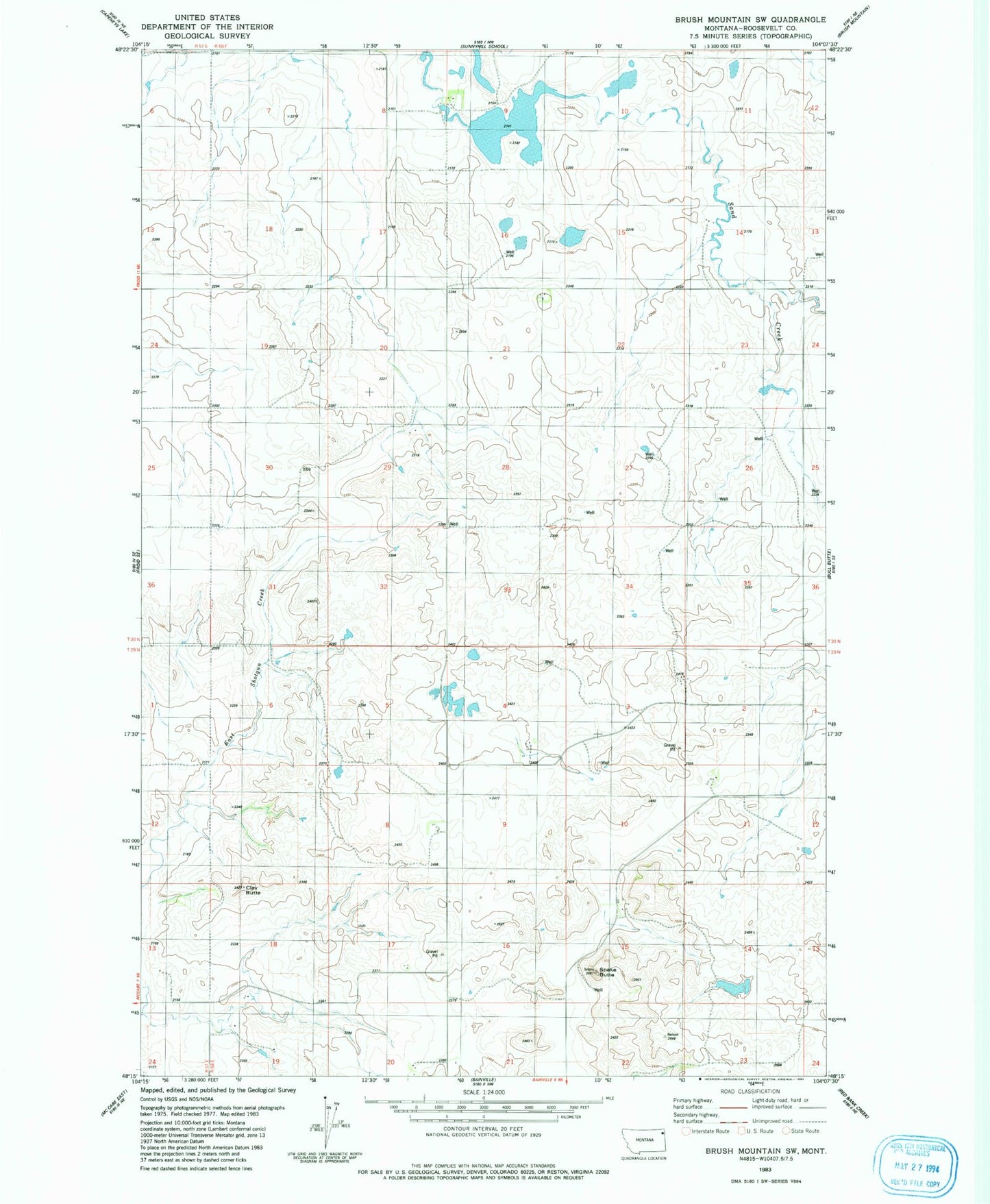
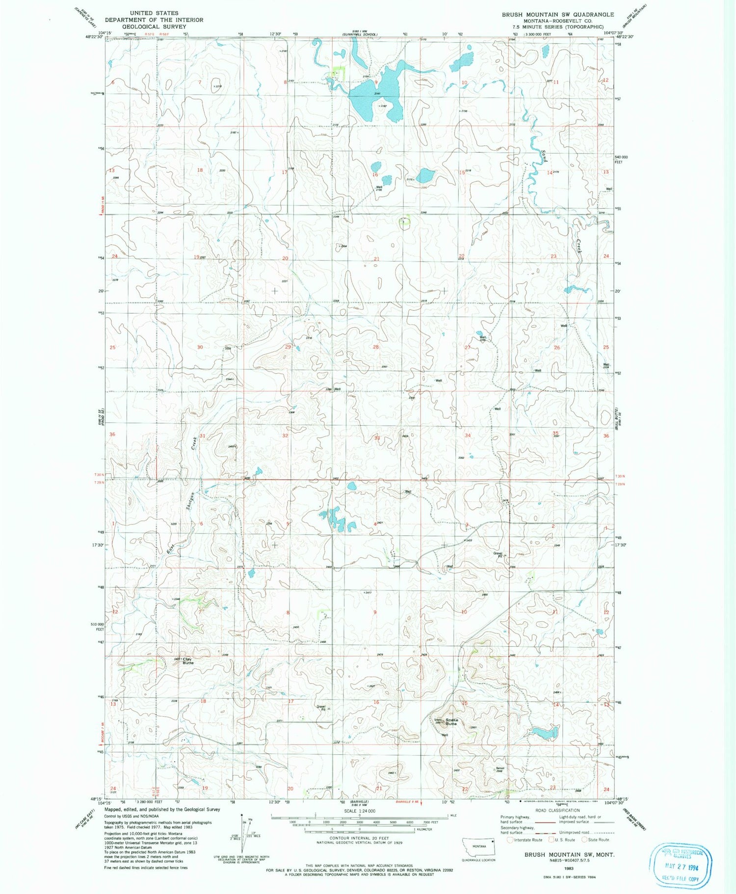
Historical USGS topographic quad map of Brush Mountain SW in the state of Montana. Map scale may vary for some years, but is generally around 1:24,000. Print size is approximately 24" x 27"
This quadrangle is in the following counties: Roosevelt.
The map contains contour lines, roads, rivers, towns, and lakes. Printed on high-quality waterproof paper with UV fade-resistant inks, and shipped rolled.
Contains the following named places: 29N58E03CDCC01 Well, 30N58E27CCDB01 Well, Burgett School, Clay Butte, Huso School, Picard Dam, Rosedale School, Snake Butte, Teepee Creeper Dam