MyTopo
Classic USGS Brushart Kentucky 7.5'x7.5' Topo Map
Couldn't load pickup availability
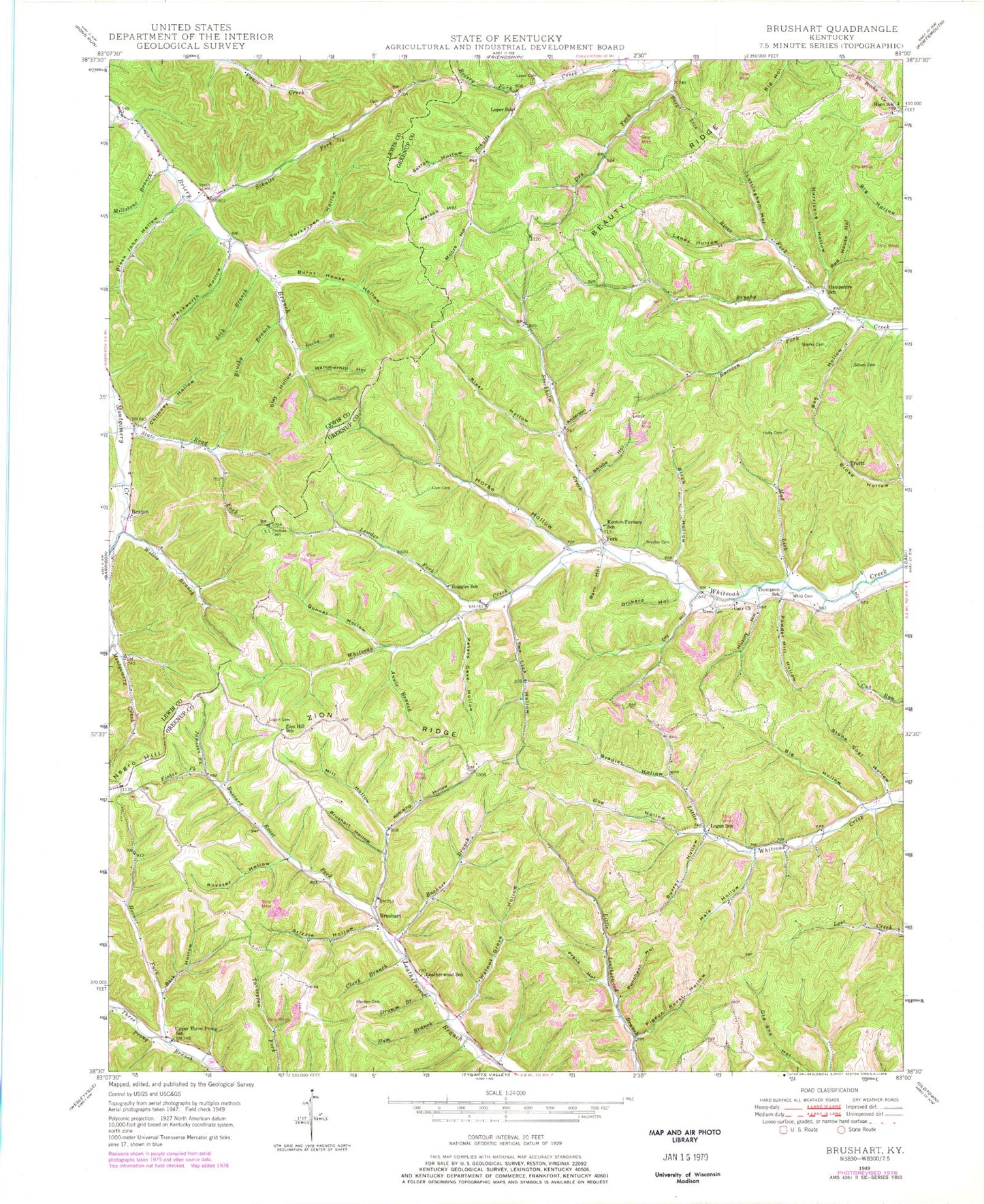
Historical USGS topographic quad map of Brushart in the state of Kentucky. Map scale may vary for some years, but is generally around 1:24,000. Print size is approximately 24" x 27"
This quadrangle is in the following counties: Greenup, Lewis.
The map contains contour lines, roads, rivers, towns, and lakes. Printed on high-quality waterproof paper with UV fade-resistant inks, and shipped rolled.
Contains the following named places: Allen Cemetery, Anderson Hollow, Annis Branch, Bark Hollow, Barn Hollow, Bee Hollow, Big Hollow, Birch Hollow, Black John Hollow, Bradley Cemetery, Bradley Hollow, Briery Fork, Brown Hollow, Brushart, Brushart Hollow, Brushy Branch, Buck Lick, Buckner Branch, Burnt House Hollow, Buzzard Roost Fork, Carr Church, Chimney Hollow, Clark Branch, Clay Hollow, Davis Cemetery, Dog Hollow, Drumm Branch, Dry Fork, Dry Hollow, Fisher Fork, Fitch Branch, Frank Hollow, Gillem Cemetery, Grizzle Hollow, Gunnel Hollow, Hackworth Hollow, Hale Hollow, Ham Branch, Hammerhill Hollow, Hampshire School, Hickory Hollow, Holley Cemetery, Horn School, Horner Fork, Horse Hollow, Hurricane Hollow, Jameson Fork, Kenton-Furnace School, Kotcamp Hollow, Laney Hollow, Leatherwood School, Left Fork Beechy Creek, Lettingham Hollow, Lick Branch, Logan Cemetery, Logan School, Loper Cemetery, Loper School, Lowder Fork, Mill Hollow, Millstone Branch, Moore Hollow, Mud Lick, Mudlick Branch, Negro Hill, Negro Hollow, Orchard Hollow, Peters Cave Hollow, Pigeon Roost Hollow, Powder Mill Hollow, Progue Hollow, Puncheon Hollow, Raccoon Fork, Red Fox Branch, Rexton, Rexton Post Office, Rhoden Cemetery, River Fork, River Hollow, Rocky Branch, Royster Hollow, Ruggles School, Schultz Fork, Sexton Hollow, Shop Hollow, Shupe Hollow, Sparks Cemetery, State Road Fork, Stockholm Creek, Stone Coal Hollow, Sugarcamp Creek, Surrey Hollow, Thomas Cemetery, Thompson School, Truitt, Turkeypen Hollow, Two Lick Hollow, Tygarts Valley Division, Upper Three Prong School, Veach Cemetery, Walnut Grove Hollow, Watson Hollow, Whitt Cemetery, Willis Branch, York, Zion Hill School, Zion Ridge