MyTopo
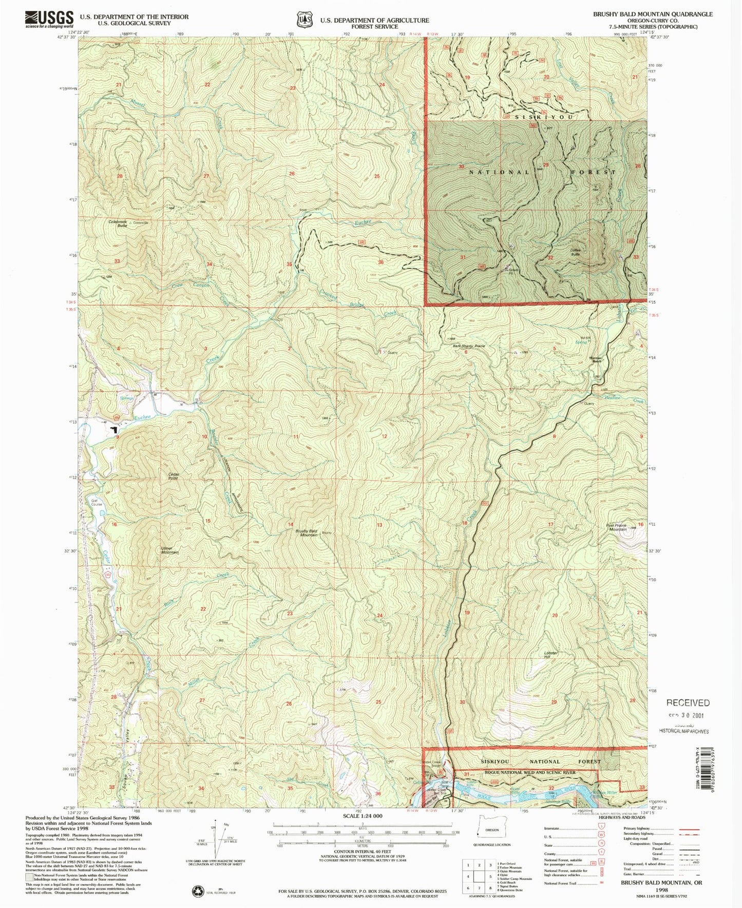
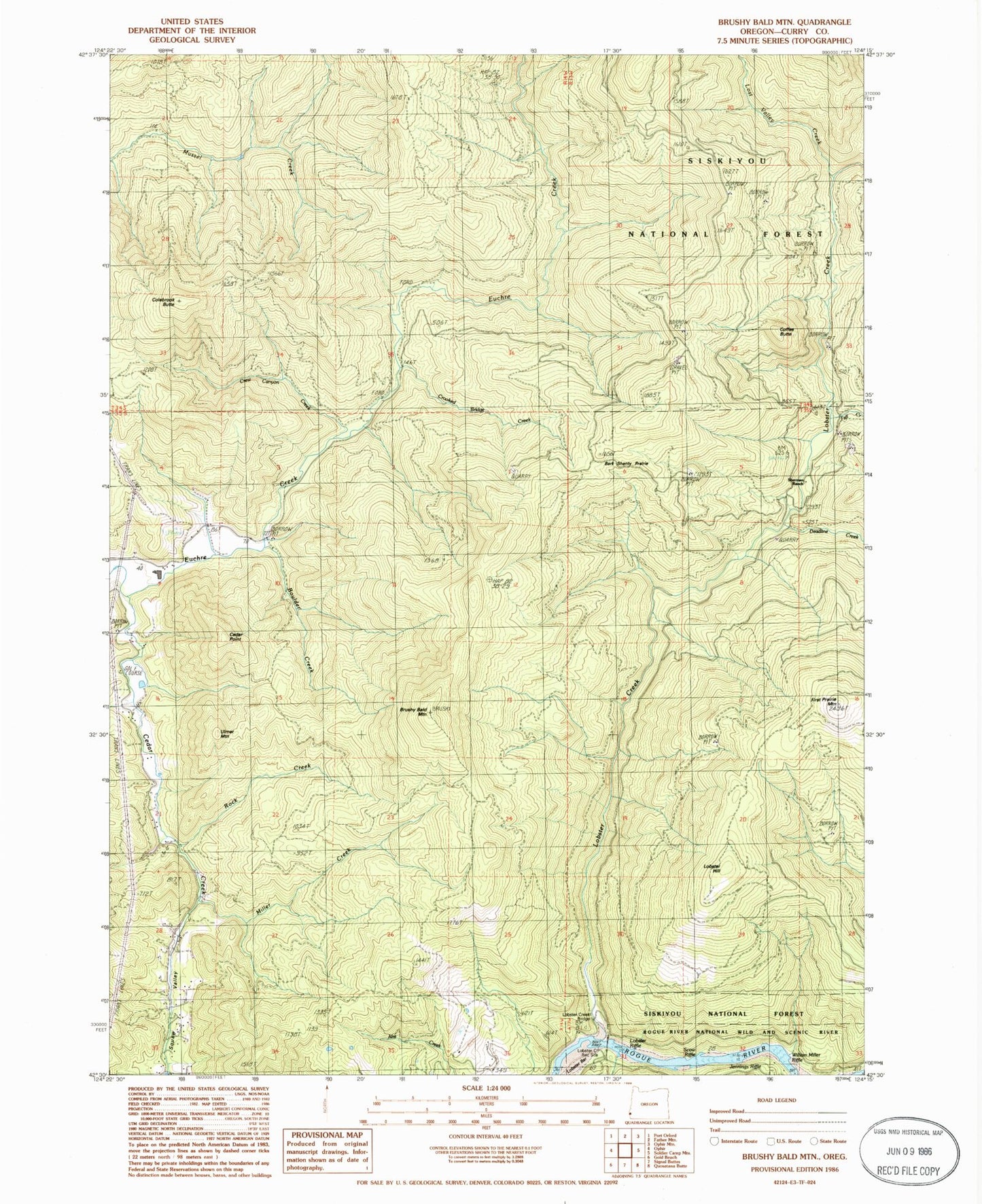
Classic USGS Brushy Bald Mountain Oregon 7.5'x7.5' Topo Map
Couldn't load pickup availability
Historical USGS topographic quad map of Brushy Bald Mountain in the state of Oregon. Map scale may vary for some years, but is generally around 1:24,000. Print size is approximately 24" x 27"
This quadrangle is in the following counties: Curry.
The map contains contour lines, roads, rivers, towns, and lakes. Printed on high-quality waterproof paper with UV fade-resistant inks, and shipped rolled.
Contains the following named places: Bark Shanty Prairie, Boulder Creek, Brushy Bald Mountain, Cedar Creek, Cedar Point, Coffee Butte, Colebrook Butte, Crew Canyon, Crew Canyon Creek, Crooked Bridge Creek, Deadline Creek, Euchre Creek Pond, Fall Creek, First Prairie Mountain, Gillman Creek, Jennings Riffle, Lobster Bar, Lobster Creek, Lobster Creek Boat Ramp, Lobster Creek Bridge, Lobster Creek Recreation Site, Lobster Hill, Lobster Riffle, Lost Valley Creek, Miller Creek, Rock Creek, Scow Riffle, Sherman Ranch, Squaw Valley, Ulmer Mountain, William Miller Riffle, ZIP Code: 97444


