MyTopo
Classic USGS Brushy Canyon Arizona 7.5'x7.5' Topo Map
Regular price
$16.95
Regular price
Sale price
$16.95
Unit price
per
Couldn't load pickup availability
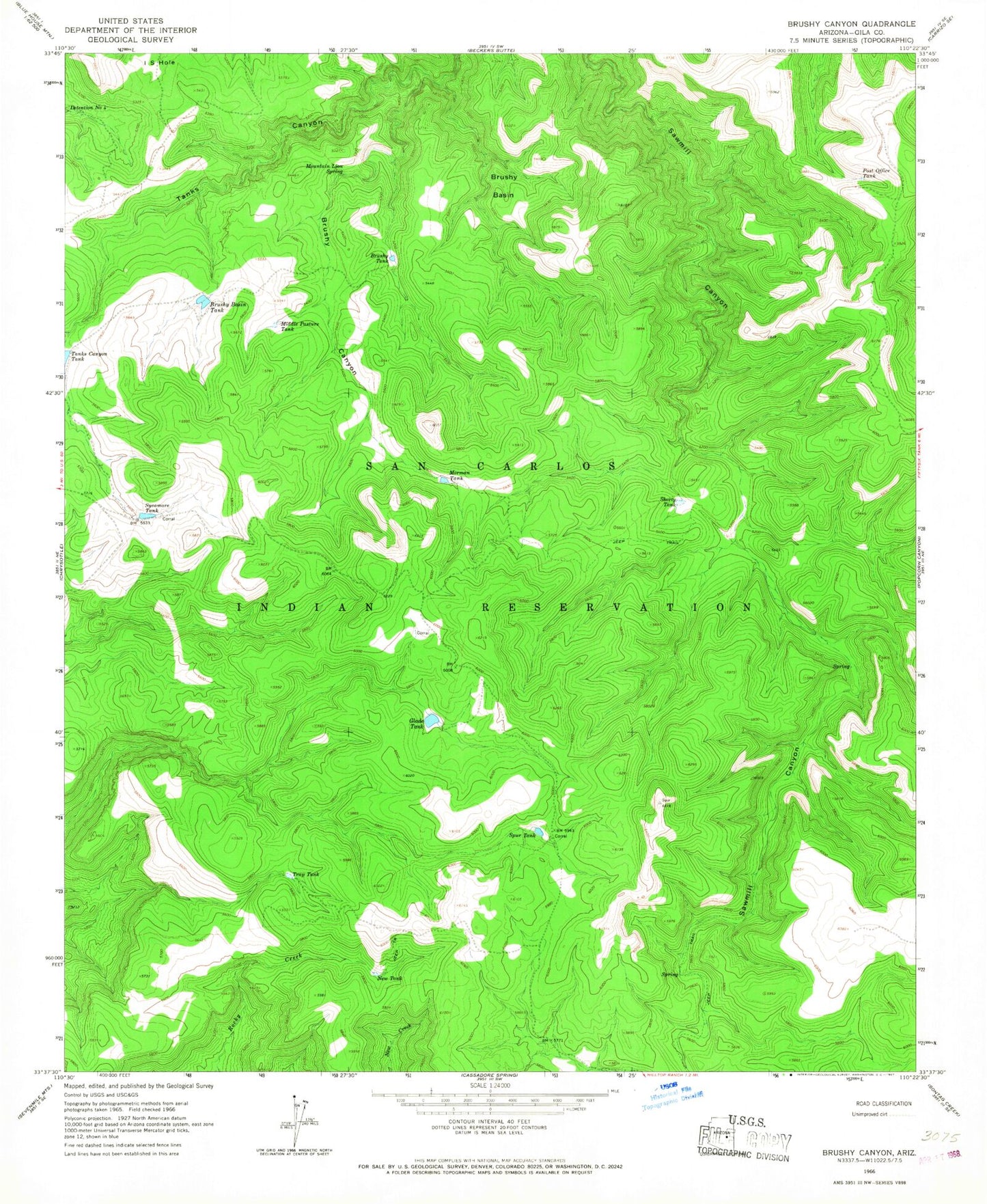
Historical USGS topographic quad map of Brushy Canyon in the state of Arizona. Typical map scale is 1:24,000, but may vary for certain years, if available. Print size: 24" x 27"
This quadrangle is in the following counties: Gila.
The map contains contour lines, roads, rivers, towns, and lakes. Printed on high-quality waterproof paper with UV fade-resistant inks, and shipped rolled.
Contains the following named places: Brushy Basin, Brushy Basin Tank, Brushy Canyon, Brushy Tank, Detention Number Four, Glade Tank, Middle Pasture Tank, Mormon Tank, Mountain Lion Spring, New Tank, Post Office Tank, Shorty Tank, Spur Tank, Sycamore Tank, Trap Tank, Glade Dam, Reservation Division (historical)