MyTopo
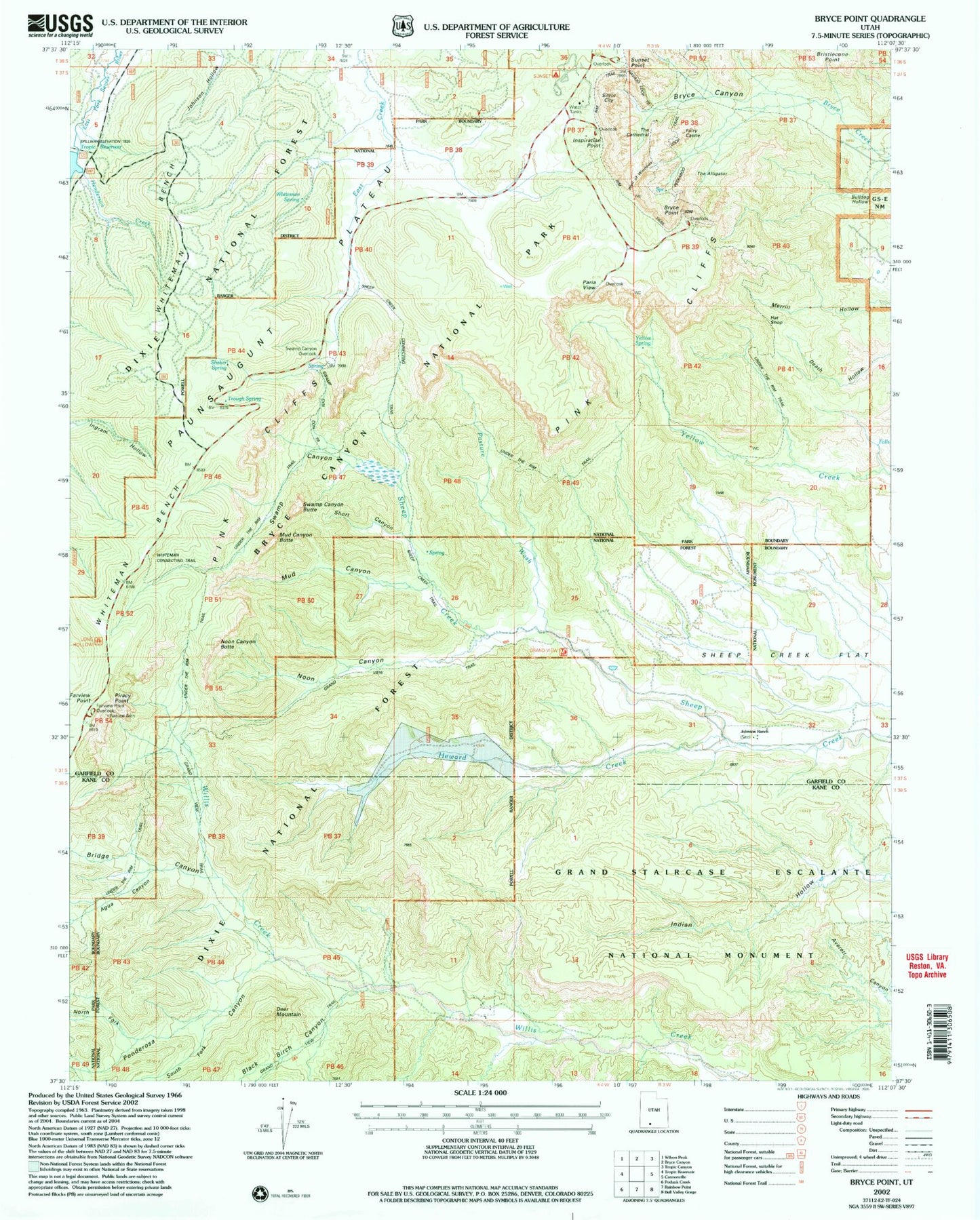
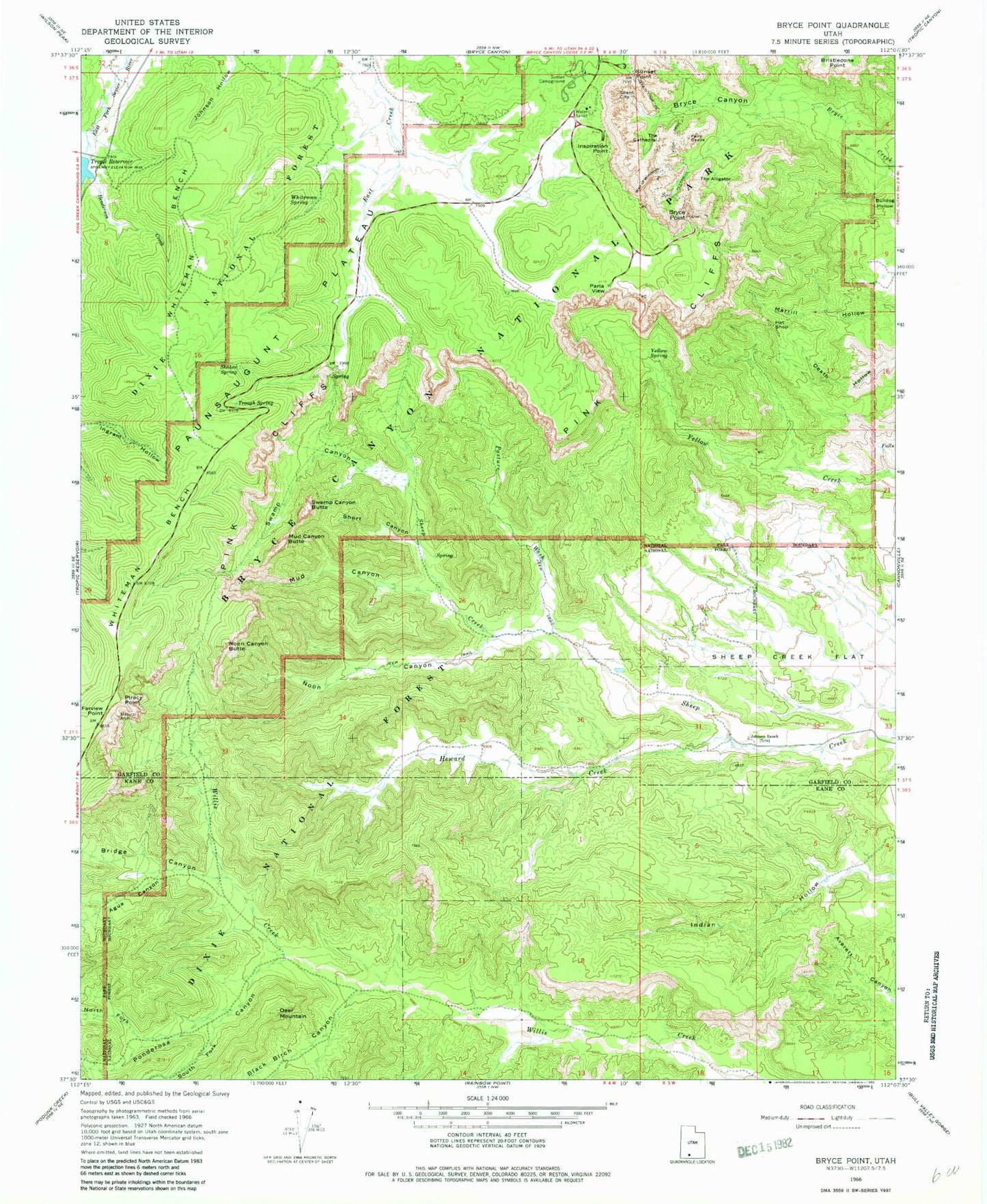
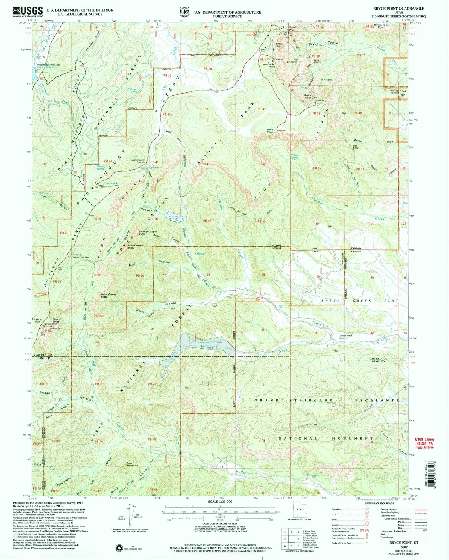
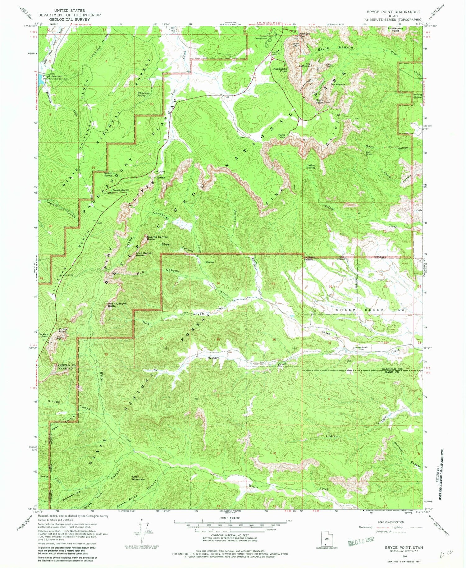
Classic USGS Bryce Point Utah 7.5'x7.5' Topo Map
Couldn't load pickup availability
Historical USGS topographic quad map of Bryce Point in the state of Utah. Typical map scale is 1:24,000, but may vary for certain years, if available. Print size: 24" x 27"
This quadrangle is in the following counties: Garfield, Kane.
The map contains contour lines, roads, rivers, towns, and lakes. Printed on high-quality waterproof paper with UV fade-resistant inks, and shipped rolled.
Contains the following named places: Agua Canyon, Black Birch Canyon, Bridge Canyon, Bristlecone Point, Bryce Canyon, Bryce Point, Deer Mountain, Fairy Castle, Farview Point, Hat Shop, Henderson Creek, Heward Creek, Inspiration Point, Johnson Ranch, Mud Canyon, Mud Canyon Butte, Noon Canyon, Noon Canyon Butte, North Fork Ponderosa Canyon, Paria View Overlook, Pasture Wash, Peekaboo Loop Trail, Piracy Point, Ponderosa Canyon, Queens Garden, Shaker Spring, Sheep Creek Flat, Short Canyon, Silent City, South Fork Ponderosa Canyon, Sunset Campground, Sunset Point, Swamp Canyon, Swamp Canyon Butte, The Alligator, The Cathedral, Tropic Reservoir, Trough Spring, Wall of Windows, Whiteman Bench, Whiteman Spring, Yellow Spring, Alley Oop and Dinny, Bridge Creek, Bryce Amphitheater, Bryce Point Overlook, Carmel and Wiseman, The Gossips, Gullivers Castle, Hindu Temples, Horse Trail, Joseph and Mary, Katzenjammer Kids, Liberty Castle, Mutt and Jeff, Navajo Loop Trail, North Hall, Organ Grinders Monkey, Pagoda, Pans Pinnacle, Peekaboo Canyon, The Pope, Queens Garden Trail, Queen Victoria, The Sentinel, Sheep Creek Connecting Trail, South Hall, Sunset Point Overlook, Swamp Canyon Connecting Trail, Temple of Osiris, Temples of the Gods, Thors Hammer, Three Wiseman, Turtle, Two Bridges, Under-the-Rim Trail, Whiteman Connecting Trail, Bryce Canyon National Park, Merrill Ranch, Fairview Natural Bridge, Wall Street, Inspiration Point Overlook, Swamp Canyon Overlook, Piracy Point Overlook, Farview Point Overlook


