MyTopo
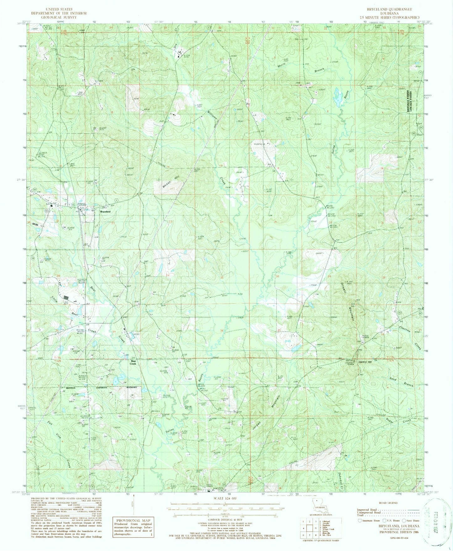
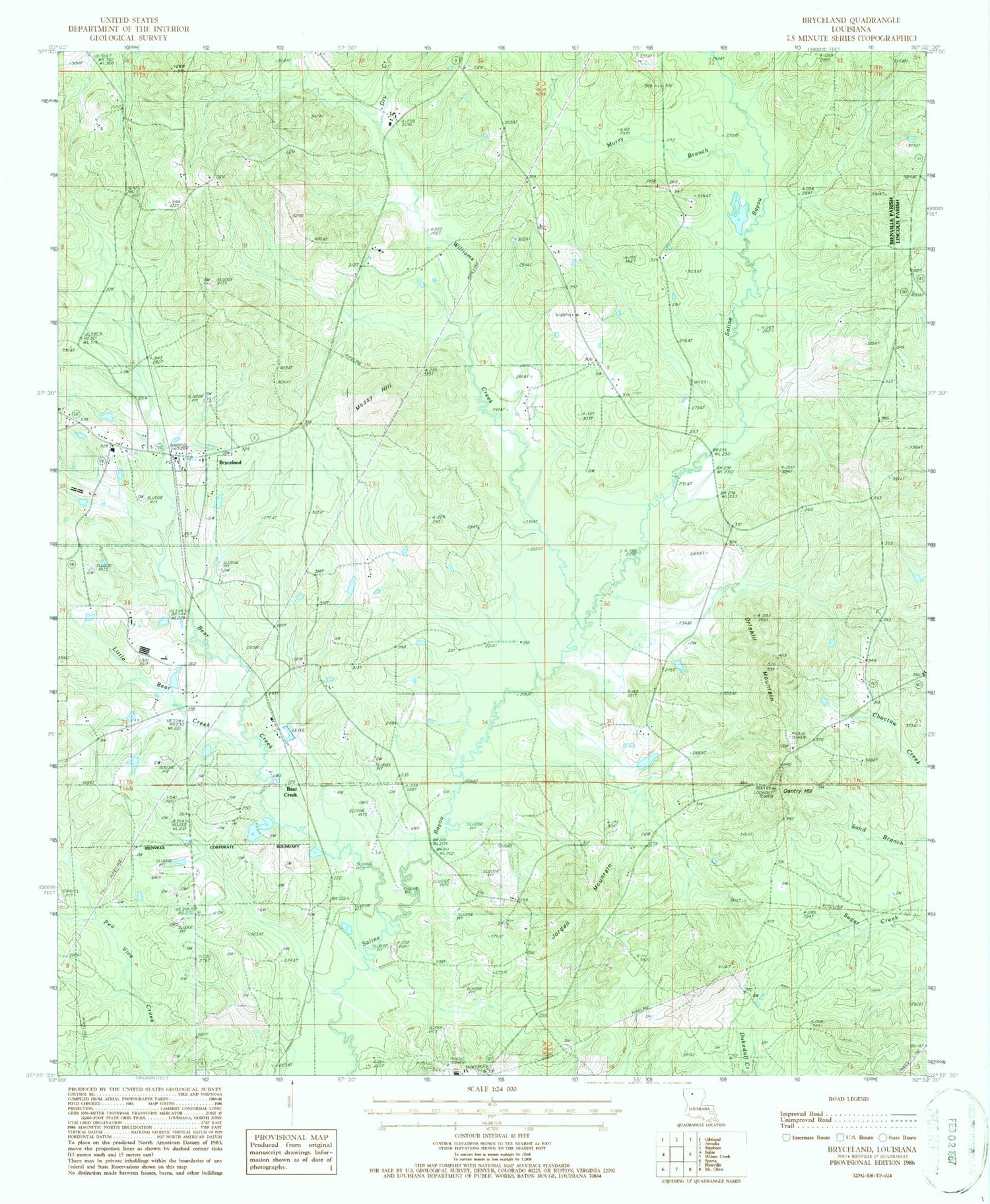
Classic USGS Bryceland Louisiana 7.5'x7.5' Topo Map
Couldn't load pickup availability
Historical USGS topographic quad map of Bryceland in the state of Louisiana. Map scale may vary for some years, but is generally around 1:24,000. Print size is approximately 24" x 27"
This quadrangle is in the following counties: Bienville, Lincoln.
The map contains contour lines, roads, rivers, towns, and lakes. Printed on high-quality waterproof paper with UV fade-resistant inks, and shipped rolled.
Contains the following named places: Bear Creek, Bear Creek Church, Bienville Parish Ward 1 and 2 Fire District Station 1, Brice Plantation, Brice Station, Bryceland, Bryceland Post Office, Driscoll, Driskill Church, Driskill Mountain, Dry Creek, Gentry Hill, Gentry Hill Lookout Tower, Holder Cemetery, Jordan Mountain, Little Bear Creek, Mossy Hill, Mount Gillard Cemetery, Mount Kingdom Church, Mount Zion Church, Murry Branch, New Fellowship Church, North Bienville Fire Protection District Station 2, Parish Governing Authority District 1, Parish Governing Authority District 2, Pratt, Pratt Hill Church, Saline Baptist Church, Village of Bryceland, Ward One, Williams Creek