
MyTopo
Classic USGS Bryceville Florida 7.5'x7.5' Topo Map
Regular price
$16.95
Regular price
Sale price
$16.95
Unit price
per
Couldn't load pickup availability
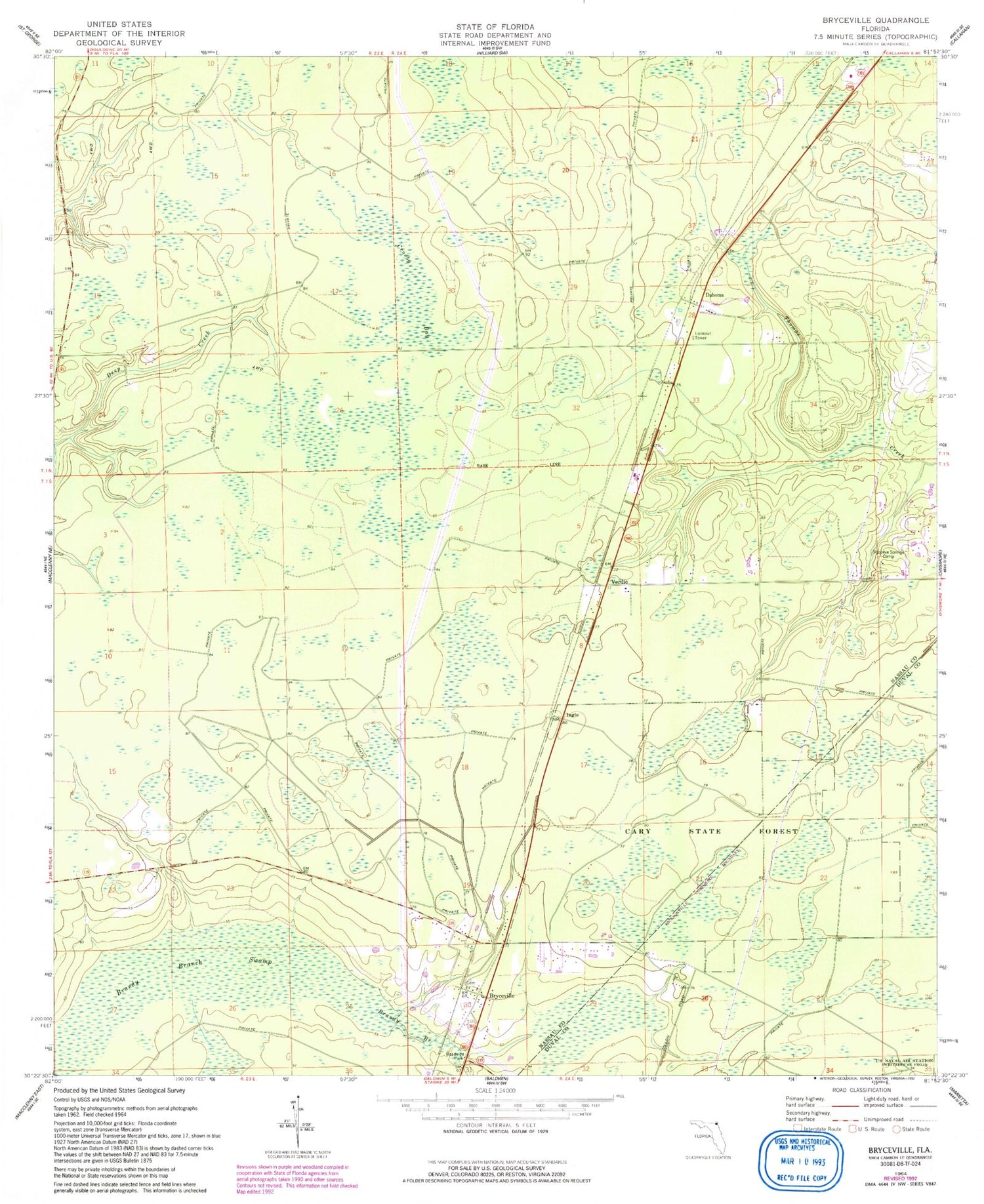
Historical USGS topographic quad map of Bryceville in the state of Florida. Map scale may vary for some years, but is generally around 1:24,000. Print size is approximately 24" x 27"
This quadrangle is in the following counties: Duval, Nassau.
The map contains contour lines, roads, rivers, towns, and lakes. Printed on high-quality waterproof paper with UV fade-resistant inks, and shipped rolled.
Contains the following named places: Brandy Branch Swamp, Bryceville, Bryceville Elementary School, Bryceville Post Office, Cary State Forest, Crosby Bay, Dahoma, Ingle, Nassau County Fire and Rescue Station 60, Sunowa Springs Camp, Verdie, ZIP Code: 32009


