MyTopo
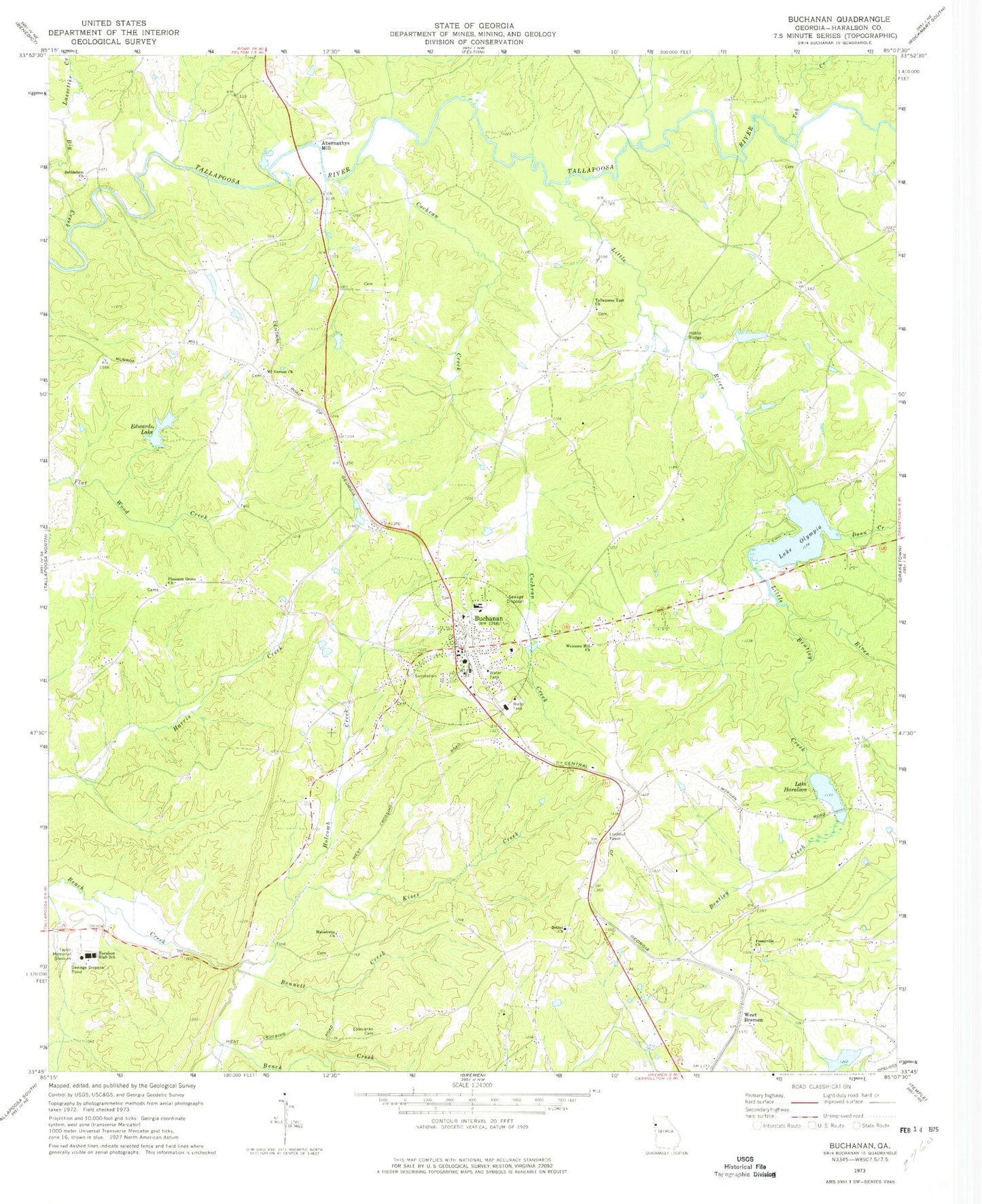
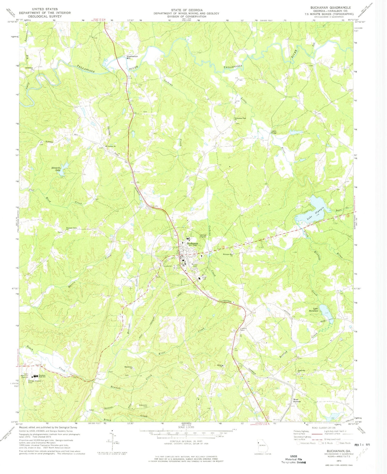
Classic USGS Buchanan Georgia 7.5'x7.5' Topo Map
Couldn't load pickup availability
Historical USGS topographic quad map of Buchanan in the state of Georgia. Map scale may vary for some years, but is generally around 1:24,000. Print size is approximately 24" x 27"
This quadrangle is in the following counties: Haralson.
The map contains contour lines, roads, rivers, towns, and lakes. Printed on high-quality waterproof paper with UV fade-resistant inks, and shipped rolled.
Contains the following named places: Abernathys Mill, Baxter Lake, Bennett Creek, Bentley Creek, Bethel Cemetery, Bethel Church, Bethlehem Baptist Cemetery, Bethlehem Church, Big Creek, Binns Lake, Binns Lake Dam, Buchanan, Buchanan City Cemetery, Buchanan Division, Buchanan Elementary School, Buchanan Middle School, Buchanan Police Department, Buchanan Post Office, Buchanan Primary School, Buchanan United Methodist Church, City of Buchanan, Cochran Creek, Dean Creek, Edwards Lake, Edwards Lake Dam, Estavanko Cemetery, First Baptist Church of Buchanan, Haralson County, Haralson County Courthouse, Haralson County Fire Department Station 1, Haralson County High School, Haralson County Jail, Haralson County Marshal's Office, Haralson County Middle School, Hobbs Bridge, Holcomb Creek, Kiser Creek, Lake Haralson, Lake Haralson Dam, Lake Olympia, Lake Olympia Dam, Lassetter Creek, Latham, Little River, Little River Structure Number Two Dam, Macedonia Church, Mount Vernon Cemetery, Mount Vernon Church, Pleasant Grove Church, Posey Memory Gardens, Poseyville Church, Tab Creek, Tabernacle, Tabernacle Baptist Church, Tallapoosa East Cemetery, Tallapoosa East Church, Taylor Memorial Stadium, Welcome Hill Church, West Bremen, ZIP Code: 30113


