MyTopo
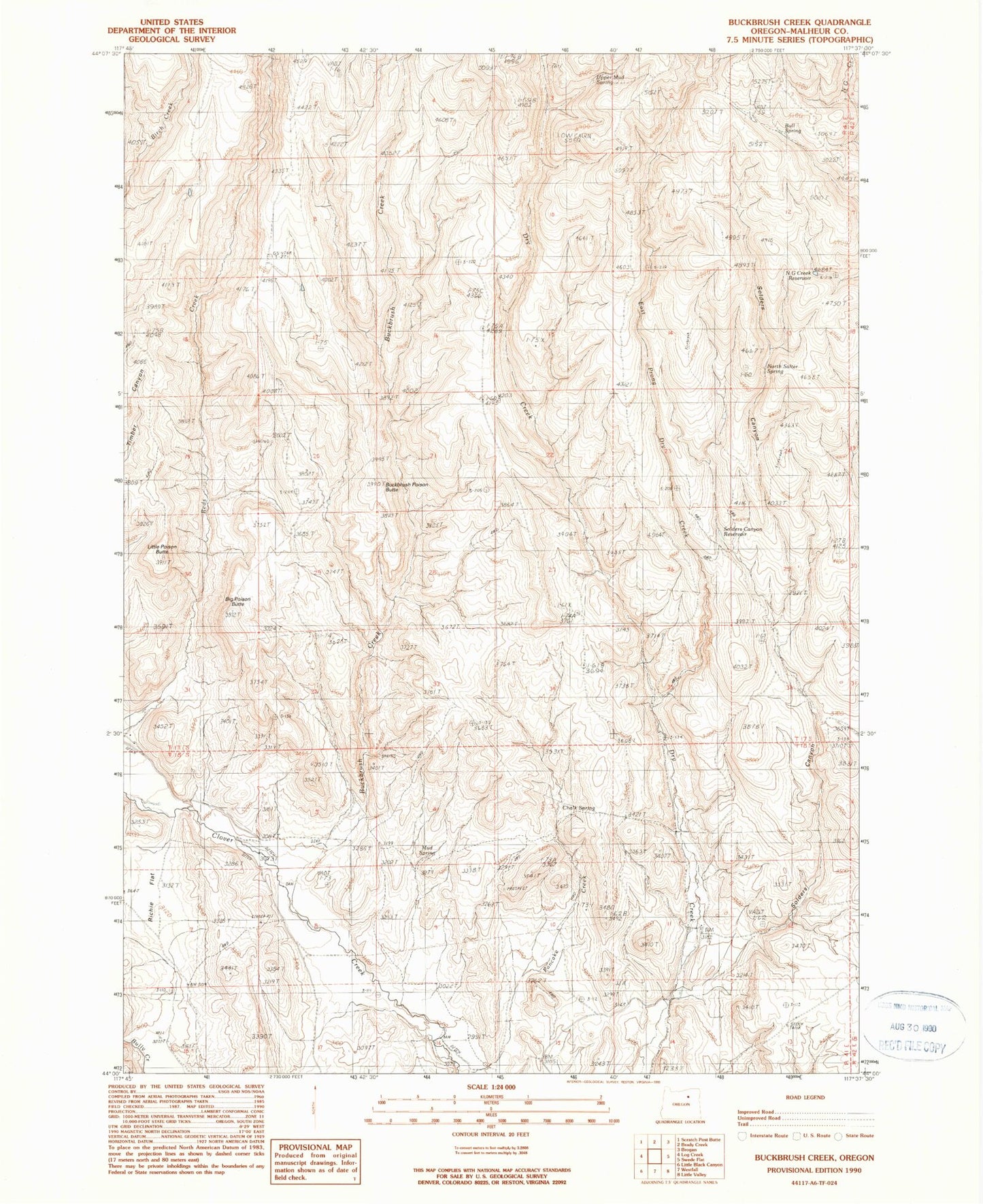
Classic USGS Buckbrush Creek Oregon 7.5'x7.5' Topo Map
Couldn't load pickup availability
Historical USGS topographic quad map of Buckbrush Creek in the state of Oregon. Map scale may vary for some years, but is generally around 1:24,000. Print size is approximately 24" x 27"
This quadrangle is in the following counties: Malheur.
The map contains contour lines, roads, rivers, towns, and lakes. Printed on high-quality waterproof paper with UV fade-resistant inks, and shipped rolled.
Contains the following named places: Big Poison Butte, Brogan Division, Buckbrush Creek, Buckbrush Poison Butte, Bull Spring, Chalk Spring, East Prong Dry Creek, Little Poison Butte, Mud Spring, N G Creek Reservoir, North Salter Spring, Pancake Creek, Richie Flat, Skelton Spring, Solders Canyon, Solders Canyon Reservoir, Upper Mud Spring