MyTopo
Classic USGS Buckeye NE Louisiana 7.5'x7.5' Topo Map
Couldn't load pickup availability
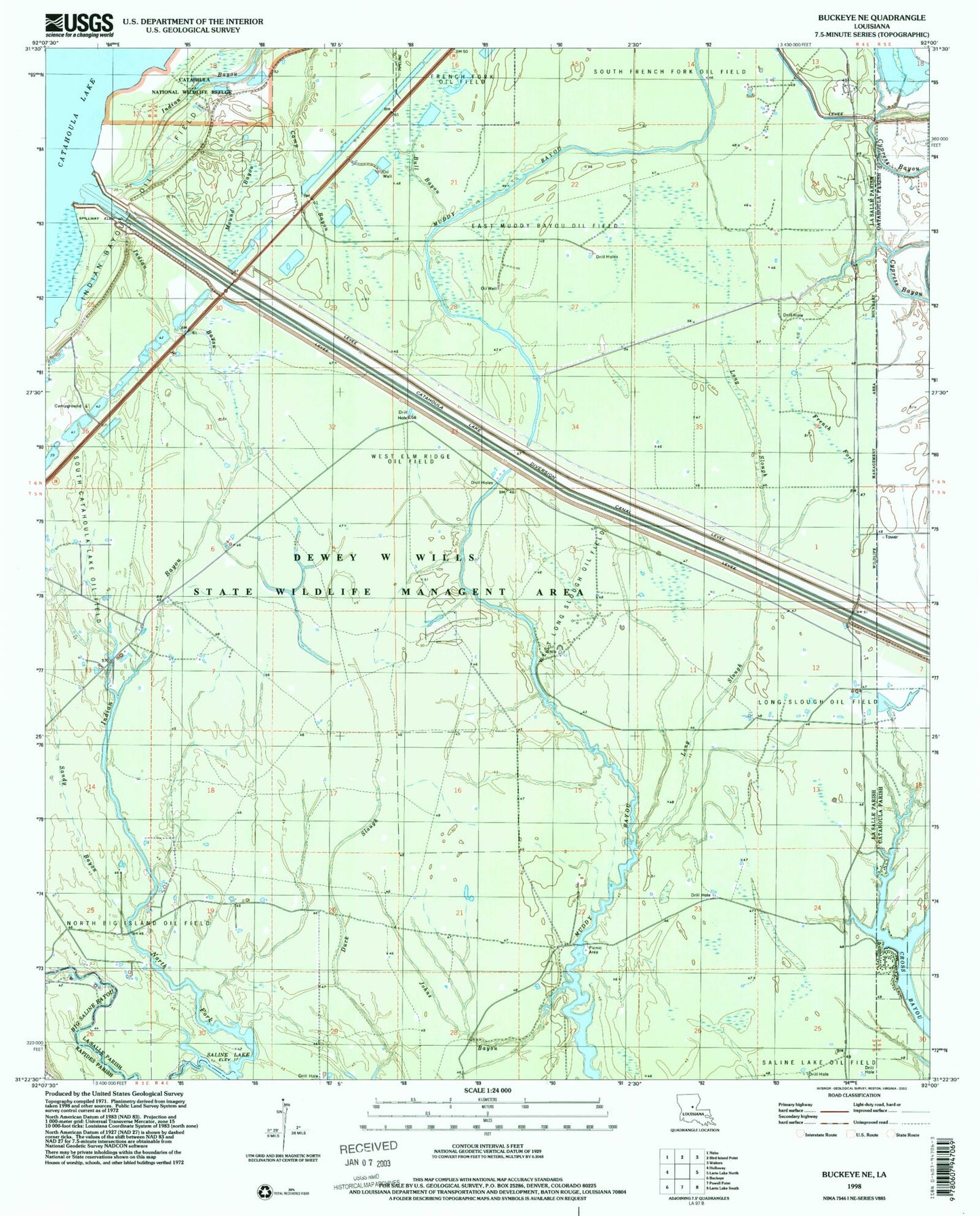
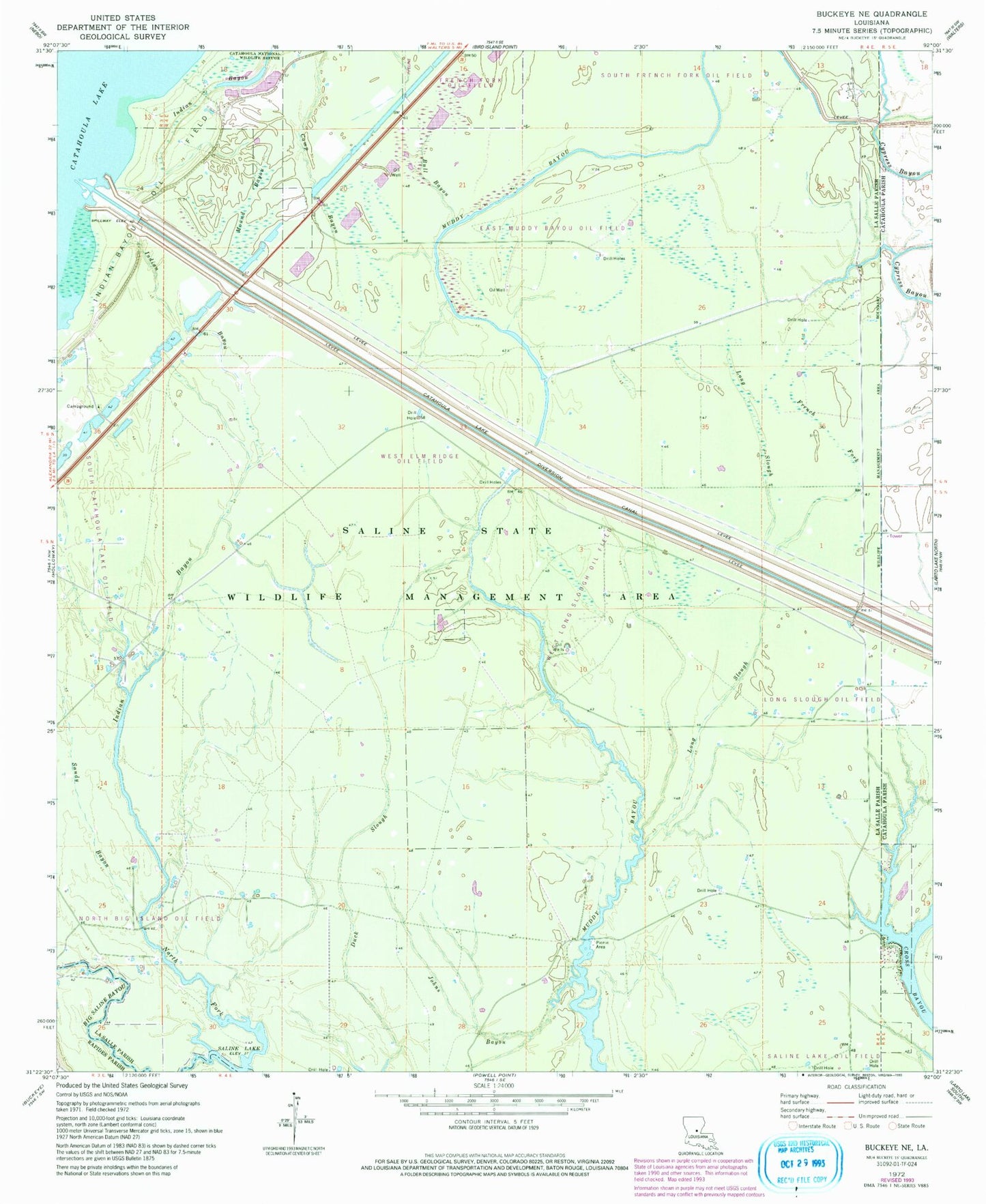
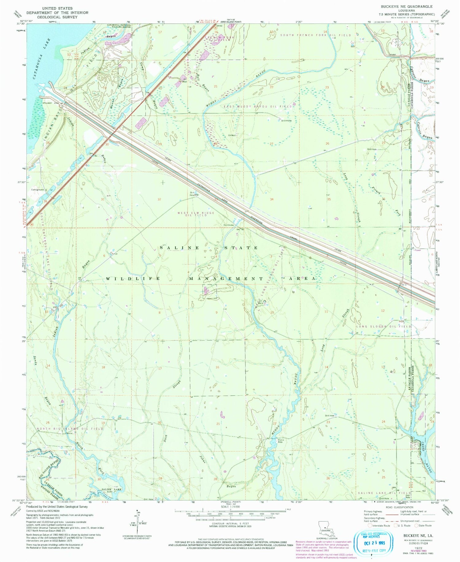
Historical USGS topographic quad map of Buckeye NE in the state of Louisiana. Map scale may vary for some years, but is generally around 1:24,000. Print size is approximately 24" x 27"
This quadrangle is in the following counties: Catahoula, LaSalle, Rapides.
The map contains contour lines, roads, rivers, towns, and lakes. Printed on high-quality waterproof paper with UV fade-resistant inks, and shipped rolled.
Contains the following named places: Bull Bayou, Catahoula Lake Diversion Canal, Cross Bayou, Cypress Bayou Oil Field, Dewey W Wills State Wildlife Management Area, Duck Slough, East Muddy Bayou Oil Field, French Fork, French Fork Oil Field, Indian Bayou, Indian Bayou Oil Field, Johns Bayou, Long Slough, Long Slough Oil Field, Mound Bayou, Muddy Bayou Oil Field, North Big Island Oil Field, North Fork Big Saline Bayou, Sandy Bayou, Sandy Bayou Oil Field, South Catahoula Lake Oil Field, South Frence Fork Oil Field, West Elm Ridge Oil Field, West Long Slough Oil Field, West Saline Lake Oil Field