MyTopo
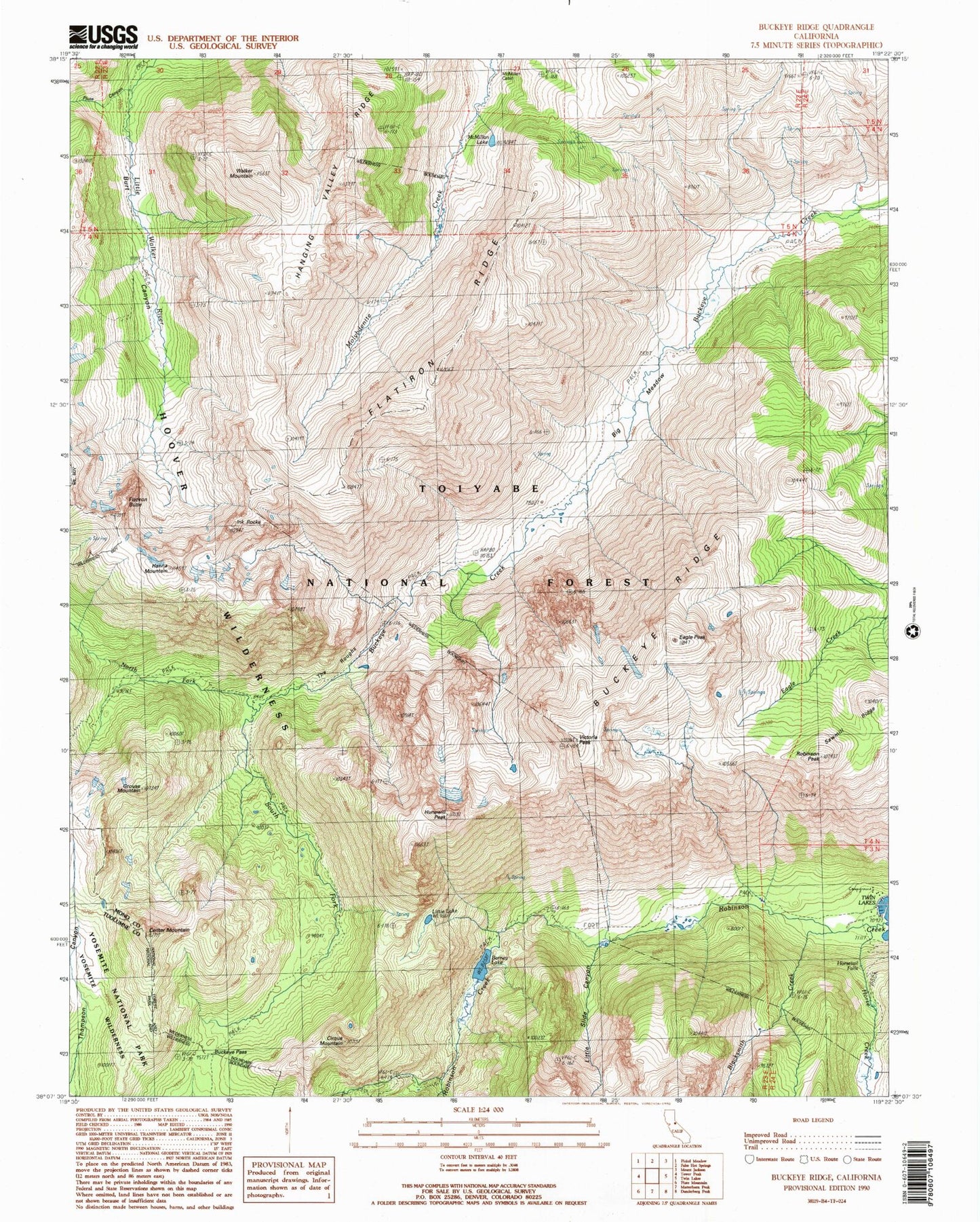
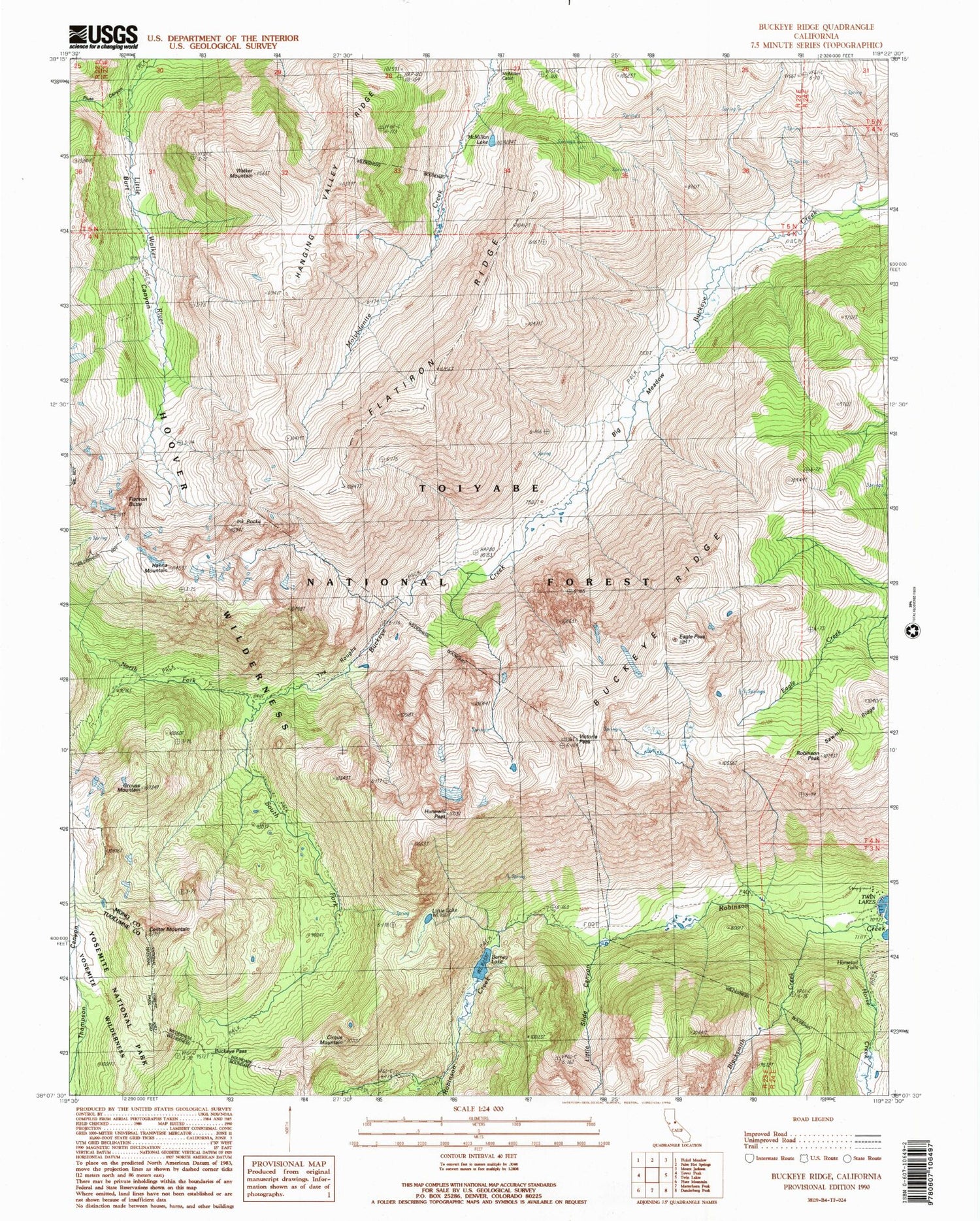
Classic USGS Buckeye Ridge California 7.5'x7.5' Topo Map
Couldn't load pickup availability
Historical USGS topographic quad map of Buckeye Ridge in the state of California. Typical map scale is 1:24,000, but may vary for certain years, if available. Print size: 24" x 27"
This quadrangle is in the following counties: Mono, Tuolumne.
The map contains contour lines, roads, rivers, towns, and lakes. Printed on high-quality waterproof paper with UV fade-resistant inks, and shipped rolled.
Contains the following named places: Barney Lake, Big Meadow, Blacksmith Creek, Buckeye Ridge, Cirque Mountain, Eagle Peak, Flatiron Ridge, Grouse Mountain, Hanging Valley Ridge, Ink Rocks, McMillan Cabin, McMillan Lake, Robinson Peak, Victoria Peak, Walker Mountain, Horsetail Falls, Little Lake, Hanna Mountain, Hunewill Peak, Little Slide Canyon, Sawmill Ridge, South Fork Buckeye Creek, Buckeye Pass, Center Mountain, Flatiron Butte, Horse Creek, North Fork Buckeye Creek, Piute Canyon, The Roughs, Mono Village Resort, Hoover Wilderness, Mono Village (historical), Snow Cabin


