MyTopo
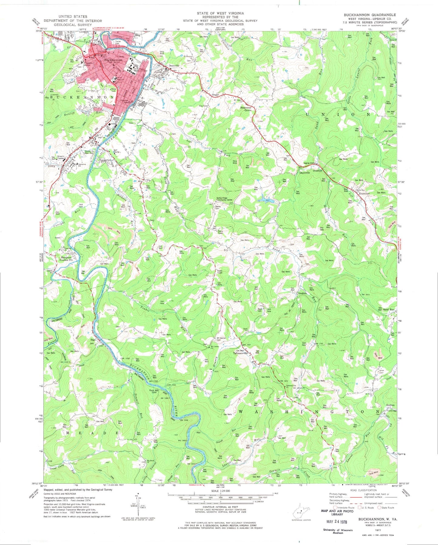
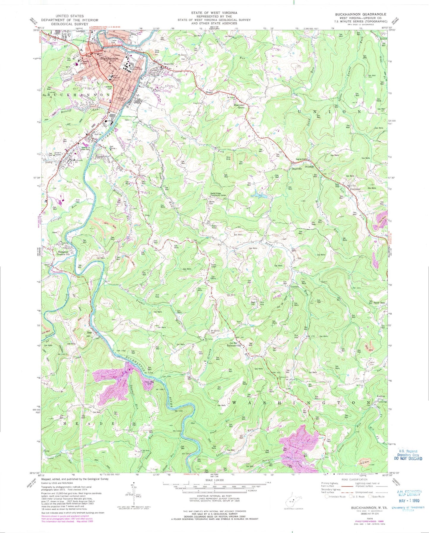
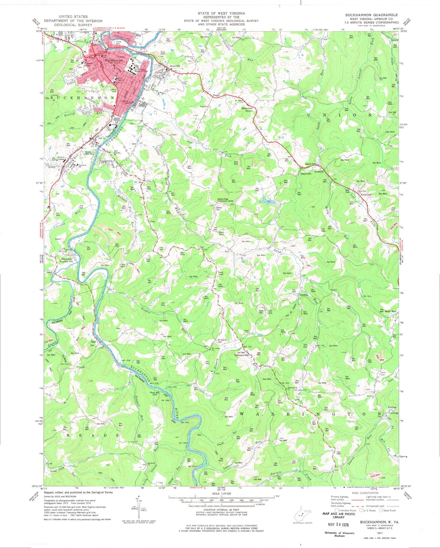
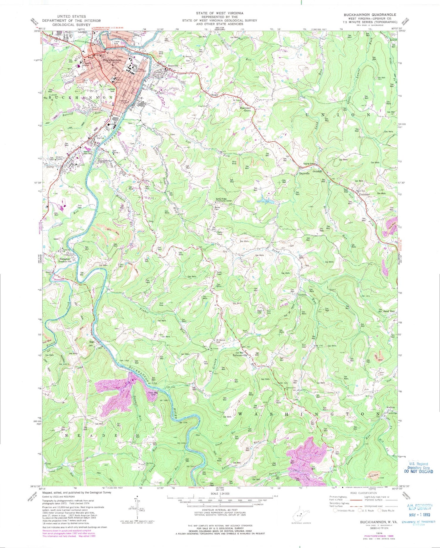
Classic USGS Buckhannon West Virginia 7.5'x7.5' Topo Map
Couldn't load pickup availability
Historical USGS topographic quad map of Buckhannon in the state of West Virginia. Map scale is 1:24000. Print size is approximately 24" x 27"
This quadrangle is in the following counties: Upshur.
The map contains contour lines, roads, rivers, towns, and lakes. Printed on high-quality waterproof paper with UV fade-resistant inks, and shipped rolled.
Contains the following named places: Academy Primary School (historical), Agnes Howard Hall, Annie Merner Pfeiffer Library, Apostolic Holiness Mission, Bailey Cemetery, Bailey Ridge Community Center, Bailey School (historical), Beech Run, Benson School (historical), Big Bend Church, Big Bend School (historical), Buckhannon, Buckhannon - Upshur High School, Buckhannon - Upshur Middle School, Buckhannon Academy Elementary School, Buckhannon Country Club Golf Course, Buckhannon Fire Department 1, Buckhannon Police Department, Buckhannon Post Office, Buckhannon Upshur Intermediate School (historical), Central Elementary School (historical), Central Methodist Church, Chapel Hill United Methodist Church, Charles W Gibson Public Library, Child Development Center of Central West Virginia, Christian Fellowship Learning Center, Church of Christ, Church of God, City of Buckhannon, Cutright Run, Daysville, Daysville School Spring, Deanville, Excelsior, Excelsior School (historical), Excelsior School Spring, Fink Run, First Baptist Church, First Presbyterian Church, First United Brethren Church, First United Methodist Church, Fleming Hall, French Creek, Goodwin, Grand Camp School (historical), Grassy Run, Gravel Run, Hampton, Hampton Church, Hank Ellis Field, Heavener Grove, Heavner (historical), Hickory Flat Run, Holly Inn Spring, Holy Rosary Roman Catholic Church, Horizons Church (Buckhannon Campus), Ivy, Jawbone Run, JD Hinkle Jr. Memorial Bridge, Jenkins Hall, Kedron, King School (historical), Laurel Run, Laurel Run, Laurel Run School (historical), Left Fork Little Sand Run, Left Fork Sand Run, Leonard Memorial Hospital (historical), Little Laurel Run, Little Sand Run, Loar Memorial Music Building, Lower Grassy Run School (historical), Main Street Primary School (historical), McCuskey Hall, Middle Fork Laurel Fork Sand Run, Mount Carmel Cemetery, Mount Carmel Church, Mount Herman Church, Mount Rupert Cemetery, Mount Rupert Church, Mount Union Church, Mount Zion School (historical), North End Youth Center, Ours Mill, Overhill, Pentecostal Church of God, Ratcliff Run, Raymond Science Hall, Red Knob School (historical), Reed Cemetery, Reed Church, Reger, Renny Halls Farm Pond Dam, Sago, Sago Baptist Church, Saint Josephs Hospital of Buckhannon, Sand Run Church, Sand Run School (historical), Sawmill Run, Second District, Seventh Day Adventist Church, Sharps Run, Sheriff Fred Gaudet Bridge Eastbound, Sheriff Fred Gaudet Bridge Westbound, Simpson Memorial Methodist Episcopal Church (historical), South Buckhannon, South Buckhannon Mission, Southfork Shopping Center, Stony Run, Tallmansville, Tallmansville Church, Tallmansville Post Office, Tallmansville Spring, Ten Mile Creek Dam, Tenmile Creek, Tennerton, Tennerton Elementary School, Tennerton Methodist Church, Tennerton School (historical), Trooper J.D. Dave Harr Bridge, Trubie Run, Tucker County Convention & Visitors Bureau, Union District (historical), Union Elementary School, Union School (historical), Upsher County Public Library, Upshur County, Upshur County Christian Academy, Upshur County Courthouse, Upshur County Emergency Medical Services, Upshur County Farm (historical), Upshur County Memorial Park, Upshur County Sheriff's Office, Upshur County Trade School, Washington District Elementary School, Washington District Volunteer Fire Department, WBTQ-FM (Buckhannon), WBUC-FM (Buckhannon), West Buckhannon Methodist Church, West Virginia State Police Troop 3 - Buckhannon Detachment, West Virginia Wesleyan College, William S. Obrien Memorial Bridge, WVWC-FM (Buckhannon)


