MyTopo
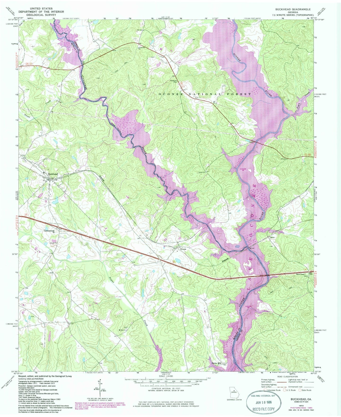
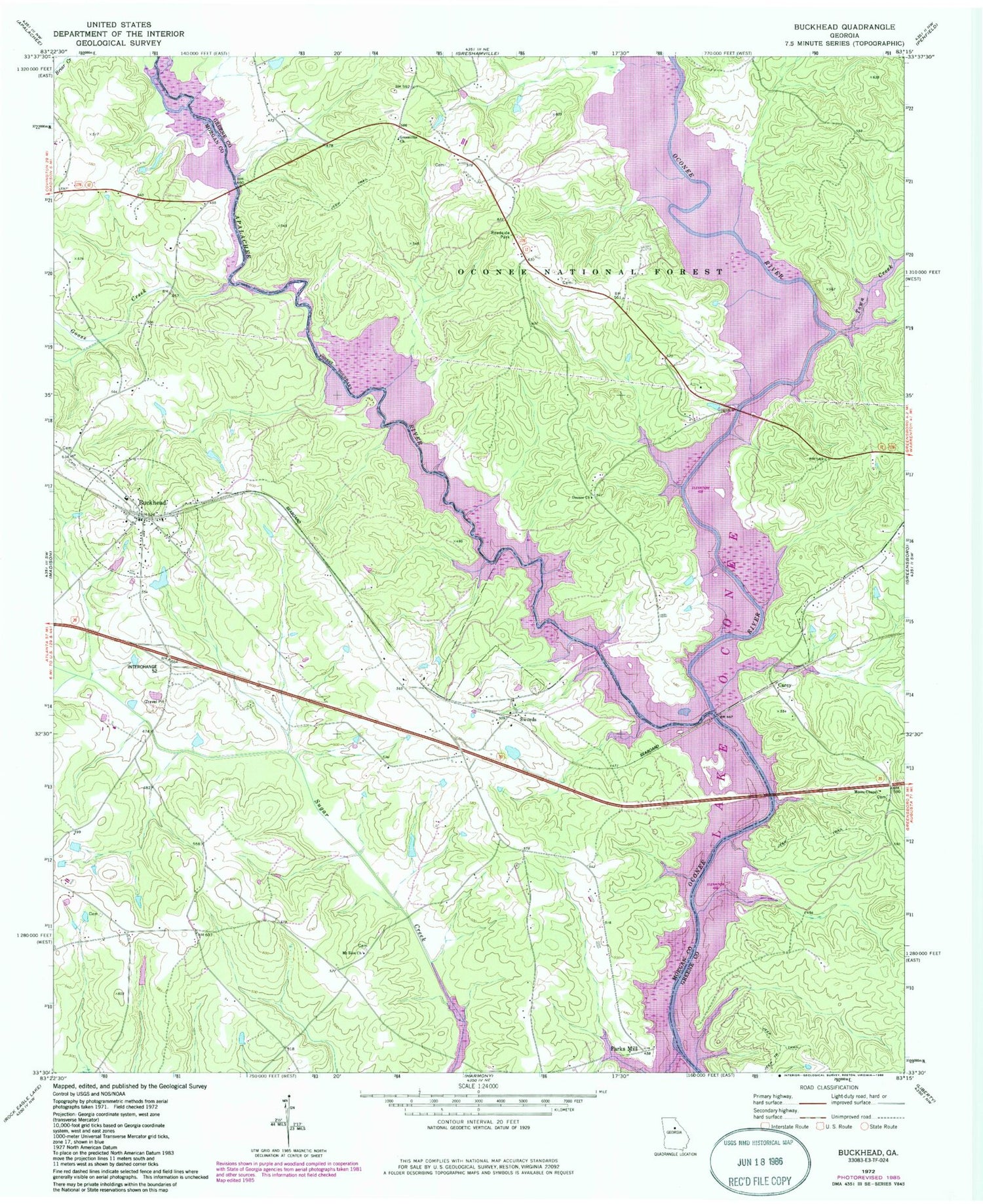
Classic USGS Buckhead Georgia 7.5'x7.5' Topo Map
Couldn't load pickup availability
Historical USGS topographic quad map of Buckhead in the state of Georgia. Map scale may vary for some years, but is generally around 1:24,000. Print size is approximately 24" x 27"
This quadrangle is in the following counties: Greene, Morgan.
The map contains contour lines, roads, rivers, towns, and lakes. Printed on high-quality waterproof paper with UV fade-resistant inks, and shipped rolled.
Contains the following named places: Apalachee River, Bird Lake, Bird Lake Dam, Buckhead, Buckhead Baptist Church, Buckhead Division, Buckhead Post Office, Buckhead Town Hall, Buckhead Worship Center Congregational Holiness Church, Carey, Carey Station Hunt Camp, Cob Creek, Fork Chapel Cemetery, Goose Creek, Greenville Church, Greshamville Fire Department, Harmony Grove School, Jim Carey Cemetery, Kingston School, Massey Lake, Massey Lake Dam, McCalls Hunt Camp, Moon Hunt Camp, Morgan County Fire Rescue Department Station 14, Morgan County Fire Rescue Department Station 15, Morgan County Fire Rescue Department Station 4, Moses Chapel, Mount Zion Baptist Church, Mount Zion Baptist Church Cemetery, North Sugar Creek, Oconee Church, Parks Ferry, Parks Ferry Recreational Area, Parks Mill, Perdue Cemetery, Redlands Boat Ramp, South Sugar Creek, Springfield Church, Swords, Swords Boat Ramp, Taylor Cemetery, Town Creek, Town of Buckhead, Whitaker Cemetery, ZIP Code: 30625


