MyTopo
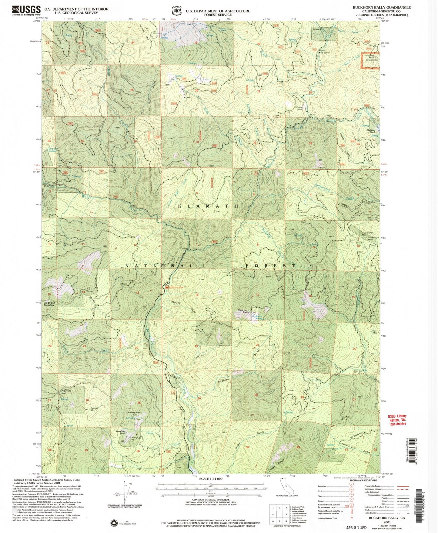
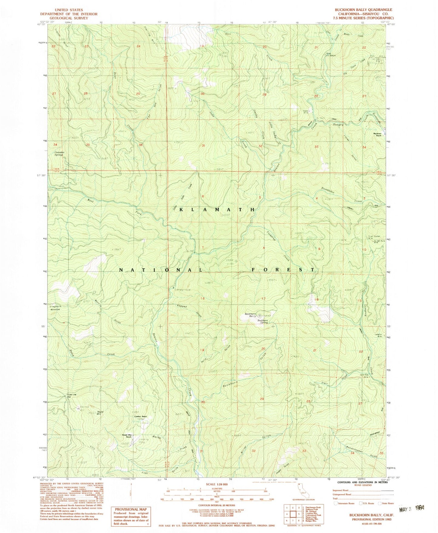
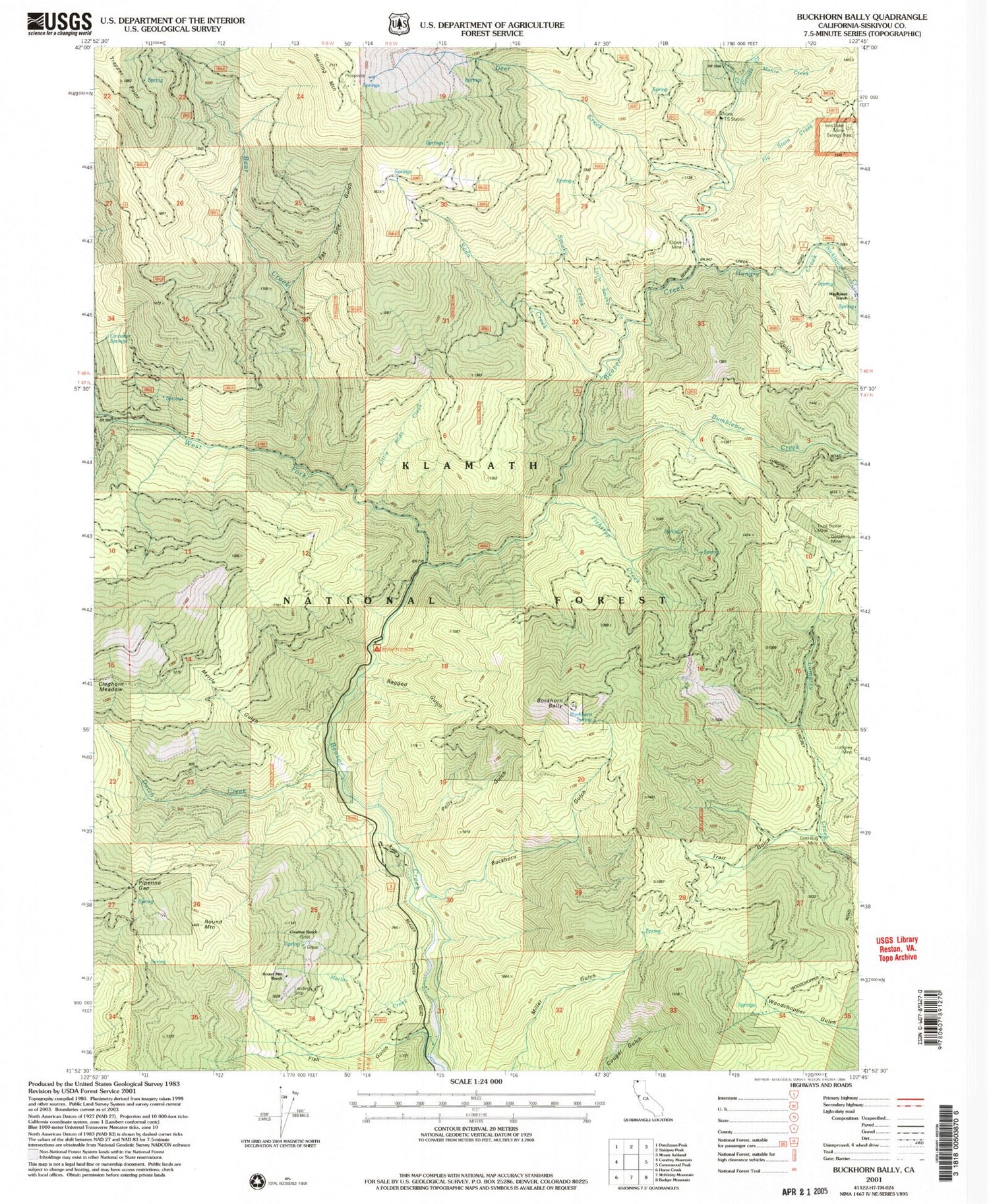
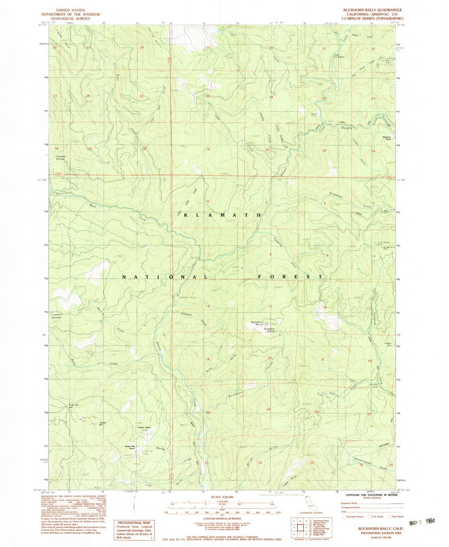
Classic USGS Buckhorn Bally California 7.5'x7.5' Topo Map
Couldn't load pickup availability
Historical USGS topographic quad map of Buckhorn Bally in the state of California. Map scale may vary for some years, but is generally around 1:24,000. Print size is approximately 24" x 27"
This quadrangle is in the following counties: Siskiyou.
The map contains contour lines, roads, rivers, towns, and lakes. Printed on high-quality waterproof paper with UV fade-resistant inks, and shipped rolled.
Contains the following named places: Bear Creek, Beaver Creek Campground, Beaver Creek Forest Service Station, Buckhorn Bally, Buckhorn Gulch, Buckhorn Spring, Bumblebee Creek, Cinnabar Springs, Cleghorn Meadows, Condrey Ranch, Cow Creek, Deer Creek, Dutch Creek, Espee Mine, Fat Doe Gulch, Finley Gulch, Fish Gulch, Fishtrap Creek, Fly Stain Creek, Gold Bug Mine, Golden Rule Mine, Grouse Creek, Hungry Creek, Iron Dyke Mine, Klamath River Volunteer Fire Company Station 1, Little Smoky Creek, Little Soda Creek, Little Soda Creek Trail, Lumgrey Mine, Marble Creek, Mayflower Ranch, Mine Forest Service Station, Monte Creek, Myrtle Gulch, Nicklwaite Creek, Pipeline Gap, Polly Gulch, Ragged Gulch, Round Mountain, Round Mountain Airport, Round Mountain Ranch, Smoky Creek, Soda Creek, Soda Creek Trail, Sterling Mountain, Trail Gulch, Trust Buster Mine, West Fork Beaver Creek


