
MyTopo
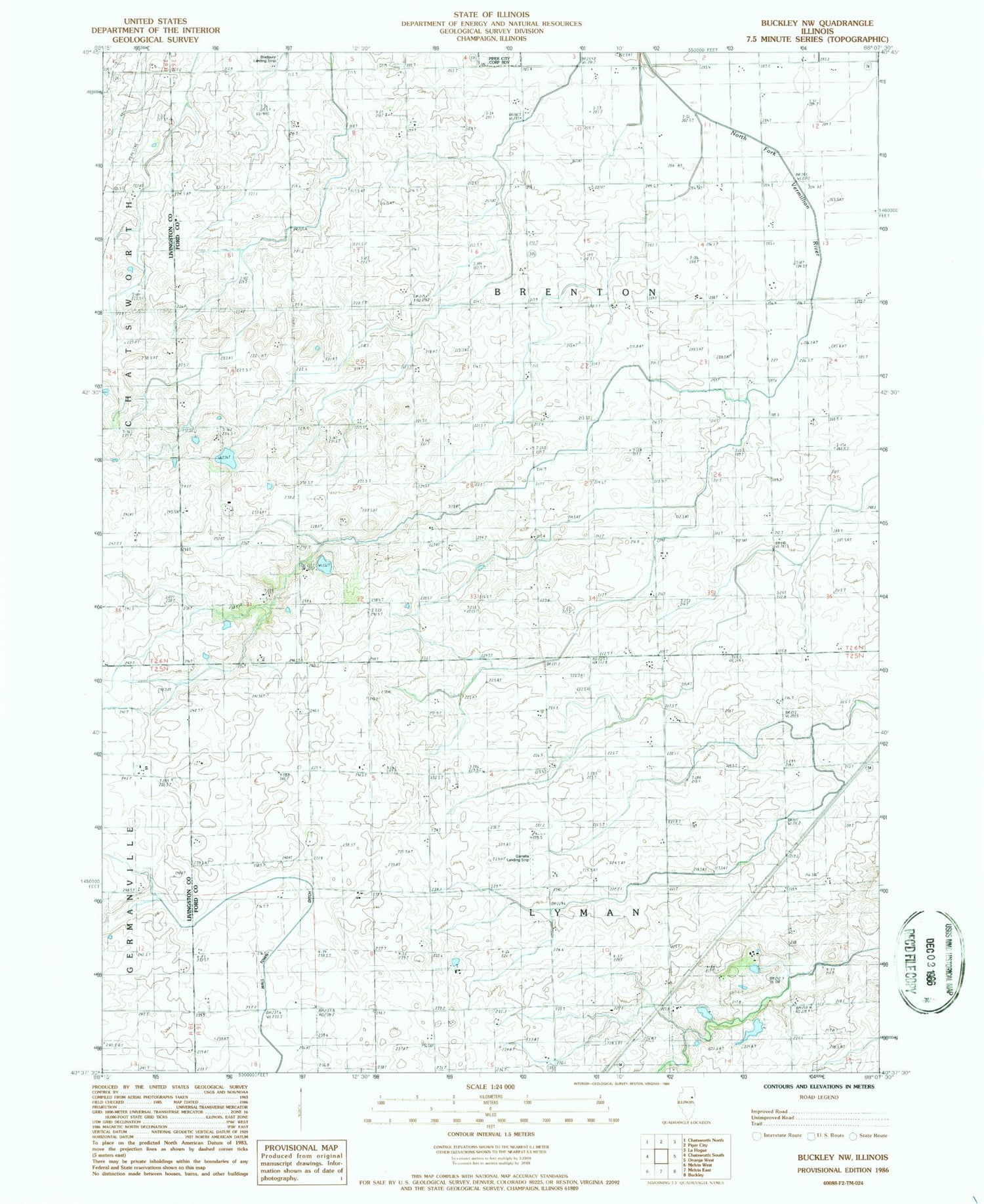
Classic USGS Buckley NW Illinois 7.5'x7.5' Topo Map
Couldn't load pickup availability
Historical USGS topographic quad map of Buckley NW in the state of Illinois. Map scale may vary for some years, but is generally around 1:24,000. Print size is approximately 24" x 27"
This quadrangle is in the following counties: Ford, Iroquois, Livingston.
The map contains contour lines, roads, rivers, towns, and lakes. Printed on high-quality waterproof paper with UV fade-resistant inks, and shipped rolled.
Contains the following named places: Beeset Station, Bishop School, Brenton Cemetery, Burger School, Fuoss School, Herr School, John H Garrelts Airport, Lake Shore School, Laue Lake, Laue Lake Dam, Otto Junior Airport, Roberts RLA Airport, Smith School, South Brenton School, Township of Brenton, Township of Lyman, Wagner School, Woodward School, ZIP Code: 60962


