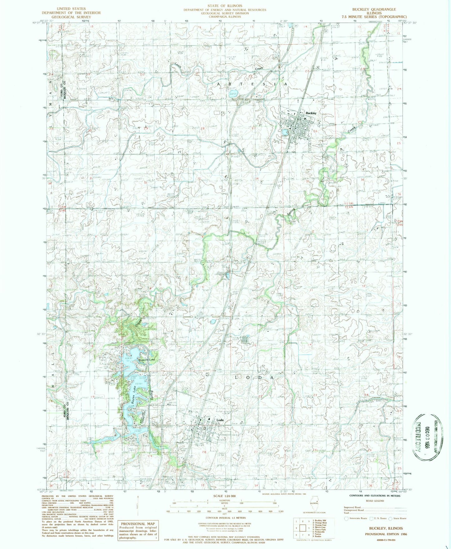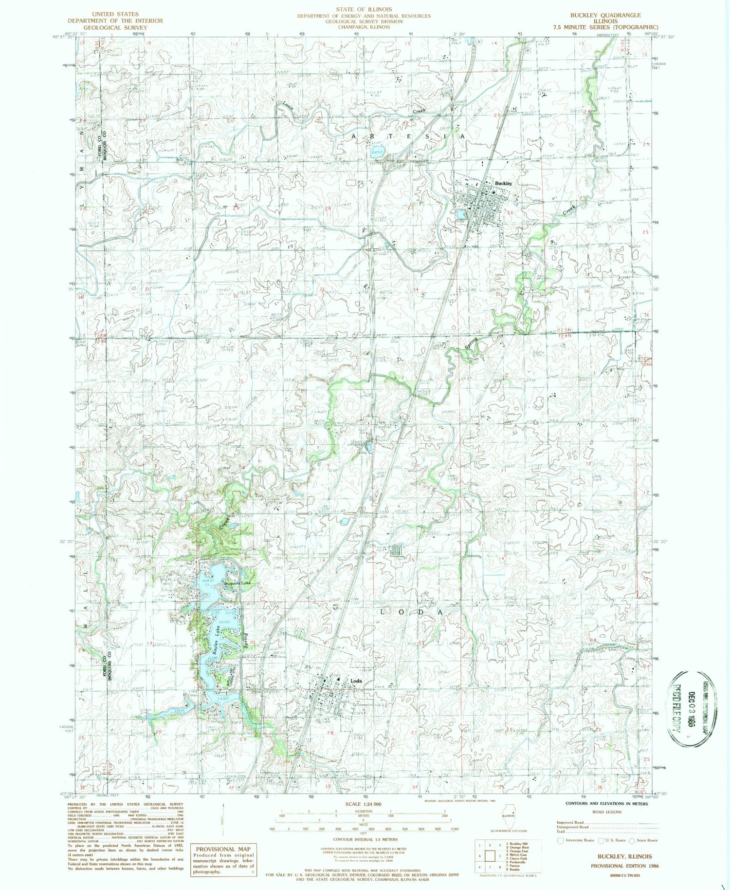
MyTopo
Classic USGS Buckley Illinois 7.5'x7.5' Topo Map
Couldn't load pickup availability
Historical USGS topographic quad map of Buckley in the state of Illinois. Typical map scale is 1:24,000, but may vary for certain years, if available. Print size: 24" x 27"
This quadrangle is in the following counties: Ford, Iroquois.
The map contains contour lines, roads, rivers, towns, and lakes. Printed on high-quality waterproof paper with UV fade-resistant inks, and shipped rolled.
Contains the following named places: Brown Hill School (historical), Buckley, Drake School (historical), Holmes School (historical), Loda, McFarland School (historical), Pine Ridge Cemetery, Shannon School (historical), Streff School (historical), Township of Artesia, Township of Loda, Lake Iroquois Dam, Bayles Lake Dam, Bayles Lake, Widner Lake Dam, Widner Lake, Bayles Lake, Bayles Lake Landing Strip (historical), Iroquois Lake, Loda Elementary School, Saint Johns Lutheran Cemetery, Loda Cemetery Prairie Nature Preserve, Saint John Lutheran Church, Immanuel Lutheran Church, Loda United Methodist Church, Village of Buckley, Village of Loda, Mulberry Lane Farm, Buckley Fire Protection District - Buckley Ambulance Service, Loda Fire Protection District, Loda Post Office, Grohler Farms, Tavenner Farms, Schumacher Farm, Buckley Post Office